
Arrow Rock in Saline County, Missouri — The American Midwest (Upper Plains)
Arrow Rock River Landing: Developing a Town and a Country
Photographed by Jason Voigt, May 14, 2024
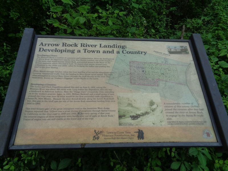
1. Arrow Rock River Landing: Developing a Town and a Country Marker
Developing a Town:
The Missouri River, a conduit of commerce and transportation, drove the development of Arrow Rock. So important was the river that Burton Lawless, one of the founders of the town that would become Arrow Rock, guaranteed access to the River on the 20-foot easement where this trail is built. To ensure river access, several town ordinances in the 1840s and 1850s called for bridging the hollow and grading this road to the river landing.
From March through October, when the river was free of ice and the steamboats were running, commercial traffic from the landing to Main Street never ceased. The town even attempted to extend Main Street through the bluff directly to the river. This excavation, known as "Godsey's Diggins" is two blocks to the north.
Developing a Country:
The Lewis and Clark Expedition passed this spot on June 9, 1804, noting the Missouri River was about 200 yards wide. Long before the Expedition, this site was a landmark to American Indians. Here the "Osage trace" crossed the river, extending on to the western prairies. Later, in 1821, William Becknell and a small group of men crossed
this page online
This trail became part of the great immigrant road to the American West. Judge Napton reported that "[t]here was a great throng of emigrants through Saline County to California on the river road in 1849 and 1850. In the early spring of that year, the covered wagons of these emigrants were hardly ever out of sight at Arrow Rock." Traces of wagon ruts are still visible at the lower end of the trail.
Erected by Lewis & Clark Trail Heritage Foundation, Inc. (Manitou Bluffs Mid-Missouri Chapter).
Topics and series. This historical marker is listed in these topic lists: Exploration • Roads & Vehicles. In addition, it is included in the Lewis & Clark Expedition series list. A significant historical date for this entry is June 9, 1804.
Location. 39° 4.163′ N, 92° 56.563′ W. Marker is in Arrow Rock, Missouri, in Saline County. It is on Historic River Landing Trail near Park Drive,
Photographed by Jason Voigt, May 14, 2024
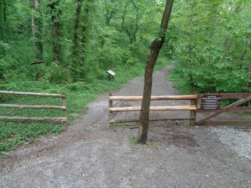
2. Arrow Rock River Landing: Developing a Town and a Country Marker
Marker is on the Historic River Landing Trail.

Regionally, this marker is in the Missouri River Corridor. It is also in the American Midwest, in the Lewis & Clark Corridor, in the Corn Belt, and on the Santa Fe Trail Corridor. Globally, it is in North America, the Western Hemisphere, the Western World, and the Anglosphere. Historically, it finds itself in what was once the territory of the Mississippian Culture, the Louisiana Purchase, and the Antebellum South.
Other nearby markers. At least 8 other markers are within walking distance of this marker: Calaboose (about 300 feet away, measured in a direct line); Godsey's Diggings (about 400 feet away); George Caleb Bingham Home (about 600 feet away); Arrow Rock (about 600 feet away); The Lewis and Clark Expedition Across Missouri (about 600 feet away); Arrow Rock and the River (about 600 feet away); Sappington Memorial Building (about 700 feet away); J. Huston Tavern (about 700 feet away). Touch for a list and map of all markers in Arrow Rock.
Credits. This page was last revised on May 19, 2024. It was originally submitted on May 19, 2024, by Jason Voigt of Glen Carbon, Illinois. This page has been viewed 537 times since then and 62 times this year. Photos: 1, 2. submitted on May 19, 2024, by Jason Voigt of Glen Carbon, Illinois.
