Bronte in Oakville in Halton Region, Ontario — Central Canada (North America)
From Boom to Bust, 1856-1877
Bronte Creek Trail
Photographed by Tim Boyd, May 20, 2024
1. From Boom to Bust, 1856-1877 Marker
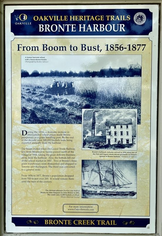
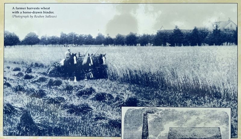
The boom ended when the Grand Trunk Railway line from Montreal to Sarnia passed north of the village in 1856, taking the grain delivery business away from the harbour. Also, the bottom fell out of the wheat market in 1857. Two of Bronte's three grain warehouses were dismantled and shipped to Toronto and Burlington. The third was converted to a general store.
From 1856 to 1877, Bronte's population dropped from 550 to just over 200. It would remain there until the turn of the century.
Erected by Town of Oakville.
Topics. This historical marker is listed in these topic lists: Agriculture • Railroads & Streetcars • Settlements & Settlers. A significant historical year for this entry is 1856.
Location. 43° 23.623′ N, 79° 42.536′ W. Marker is in Oakville, Ontario, in Halton Region. It is in Bronte. It is on Bronte Road 0.1 kilometers north of Ontario Street, on the right when traveling east. Touch for map.
this page online

Regionally, this marker is in Greater Toronto, specifically on the Golden Horseshoe, in the Hamilton-Halton-Brant Area, and specifically in the Toronto Metropolitan Area. It is also in Central Canada. Globally, it is in North America, on the Great Lakes, in the Western Hemisphere, in the Western World, and in the Anglosphere. Historically, it finds itself in what was once a British colony, the Viceroyalty of New France, the Haudenosaunee (Iroquois) Confederacy, and Rupert’s Land.
Other nearby markers. At least 8 other markers are within 6 kilometers of this marker, measured as the crow flies: Bronte: a Fishing Village (here, next to this marker); The Bronte Harbour Company (here, next to this marker); The Stonehookers of Lake Ontario (a few steps from this marker); Bronte on Twelve Mile Creek (a few steps from this marker); Yacht Launching in the 1970s (a few steps from this marker); Sovereign House (circa 1825) (approx. 0.4 kilometers away); Bronte Pioneer Cemetery (approx. 0.9 kilometers away); World Championship Wheat 1954
Photographed by Tim Boyd, May 20, 2024
2. From Boom to Bust, 1856-1877 Marker
3. From Boom to Bust, 1856-1877 marker photo detail

Archives of Ontario
4. From Boom to Bust, 1856-1877 marker photo detail
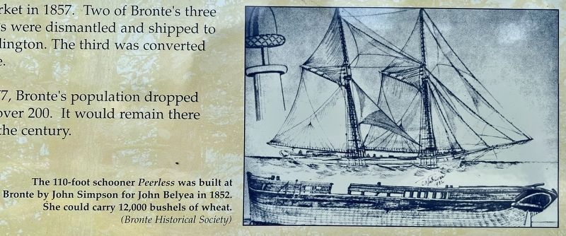
courtesy of Bronte Historical Society
5. From Boom to Bust, 1856-1877 marker photo detail
Credits. This page was last revised on May 25, 2024. It was originally submitted on May 22, 2024, by Tim Boyd of Hamilton, Ontario. This page has been viewed 191 times since then and 13 times this year. Photos: 1, 2, 3, 4, 5. submitted on May 22, 2024, by Tim Boyd of Hamilton, Ontario. • Andrew Ruppenstein was the editor who published this page.
