Santa Clara in Santa Clara County, California — The American West (Pacific Coastal)
De Anza Expedition 1775 – 1776
Photographed by Joseph Alvarado, April 5, 2023
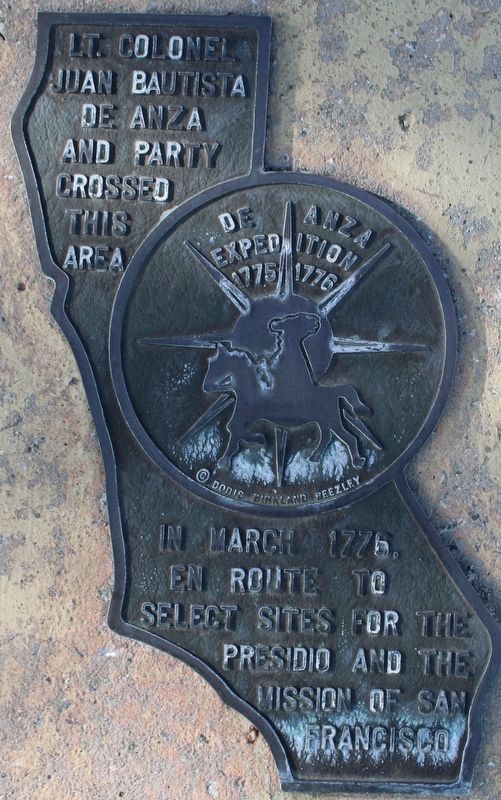
1. De Anza Expedition 1775 – 1776 Marker
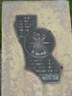
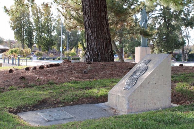
In the center of the marker is a circular motif, designed by Doris Birkland Beezley, of a rider superimposed upon a sun-like set of compass points, with the "De Anza Expedition 1775 1776" written above the rider.
Topics and series. This historical marker is listed in these topic lists: Colonial Era • Exploration • Settlements & Settlers. In addition, it is included in the Juan Bautista de Anza National Historic Trail, and the Time Capsules series lists. A significant historical year for this entry is 1775.
Location. 37° 21.157′ N, 121° 57.226′ W. Marker is in Santa Clara, California, in Santa Clara County. It is on El Camino Real (State Highway 82), on the right when traveling north. Marker is located at the Civic Center Park. Touch for map. Marker is at or near this postal address: 1515 El Camino Real, Santa Clara CA 95050, United States of America. Touch for directions.

Regionally, this marker is in the San Francisco Bay Area, in Silicon Valley, and on the Coast Ranges. It is also on the American Pacific Coast. Globally, it is in North America, on the Ring of Fire, on the Pacific Rim, in the Western Hemisphere, in the Western World, and in the Anglosphere. Historically, it finds itself in what was once New Spain and also Mexico’s Alta California.
Other nearby markers. At least 8 other markers are within walking distance of this marker: Santa Clara Campaign Treaty Site (a few steps from this marker); Saint Clare (within shouting distance of this marker); Armistice Oak Tree Site (within shouting distance of this marker); The Battle of Santa Clara (within shouting distance of this marker); Morgan House (about 700 feet away,
this page online
Also see . . .
1. The Juan Bautista de Anza National Historic Trail Guide. "Everyone mount up!" This became a familiar call from Spanish Captain Juan Bautista de Anza. In 1776, as Americans fought for their independence in the East, Anza led almost 300 people over 1200 miles to settle Alta California. It was the first overland route established to connect New Spain with San Francisco. Walk in their footsteps from Nogales, Arizona to San Francisco, California. (Submitted on November 21, 2009, by Syd Whittle of Mesa, Arizona.)
2. Juan Bautista de Anza - Blazed the Anza Trail. Juan Bautista de Anza was the first European to establish an overland route from Mexico, through the Sonoran Desert, to the Pacific coast of California. New World Spanish explorers had been seeking such a route through the Desert Southwest for more than two centuries. (Submitted on November 21, 2009, by Syd Whittle of Mesa, Arizona.)
3. A KTEH TV Production of the DeAnza Trail on YouTube.
Photographed by Syd Whittle, November 5, 2009
2. De Anza Expedition 1775 – 1776 Marker
Additional keywords. Juan Bautista De Anza National Historical Trail
Photographed by Syd Whittle, November 5, 2009
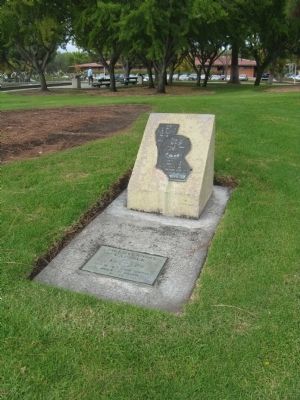
3. De Anza Expedition 1775 – 1776 Marker
Photographed by Syd Whittle, November 5, 2009
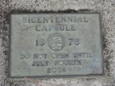
4. Bicentennial Capsule
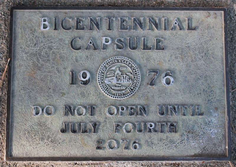
A time capsule is located at the foot of the marker.
The City of Santa Clara
1976
Do Not Open Until
July Fourth
2076
1976
Do Not Open Until
July Fourth
2076
Photographed by Syd Whittle, November 5, 2009
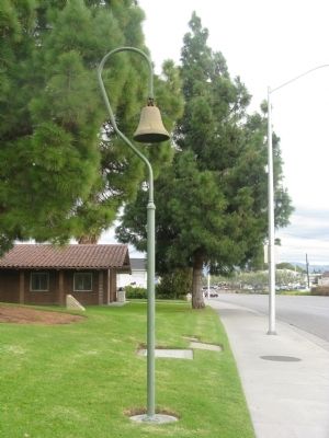
5. El Camino Real Bell
The De Anza Expedition Marker is seen in the distance to the left of the El Camino Real Bell.
Photographed by Joseph Alvarado, April 5, 2023
6. De Anza Expedition 1775 – 1776 Marker
Photographed by Joseph Alvarado, April 5, 2023
7. Time Capsule Plaque
Credits. This page was last revised on April 16, 2023. It was originally submitted on November 21, 2009, by Syd Whittle of Mesa, Arizona. This page has been viewed 1,798 times since then and 41 times this year. Photos: 1. submitted on April 16, 2023, by Joseph Alvarado of Livermore, California. 2, 3, 4, 5. submitted on November 22, 2009, by Syd Whittle of Mesa, Arizona. 6, 7. submitted on April 16, 2023, by Joseph Alvarado of Livermore, California.
