Boonville in Cooper County, Missouri — The American Midwest (Upper Plains)
Boonville to New Franklin
Points of Interest
Photographed by Jason Voigt, May 14, 2024
1. Boonville to New Franklin Marker
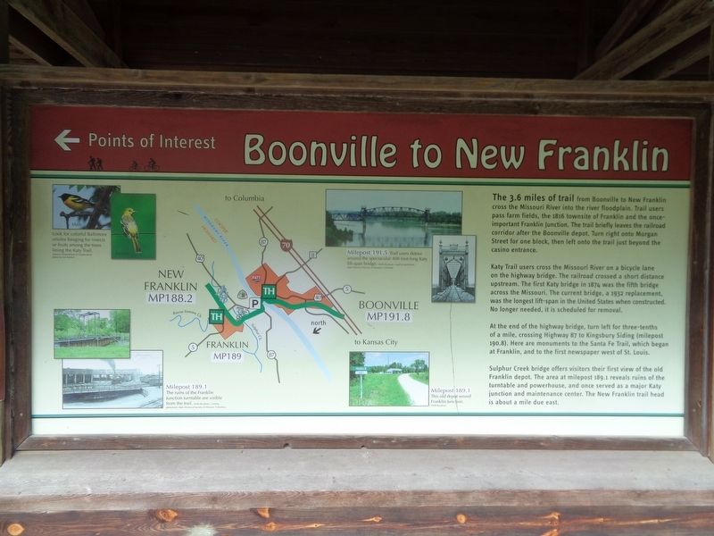
Katy Trail users cross the Missouri River on a bicycle lane on the highway bridge. The railroad crossed a short distance upstream. The first Katy bridge in 1874 was the fifth bridge across the Missouri. The current bridge, a 1932 replacement, was the longest lift-span in the United States when constructed. No longer needed, it is scheduled for removal.
At the end of the highway bridge, turn left for three-tenths of a mile, crossing Highway 87 to Kingsbury Siding (milepost 190.8). Here are monuments to the Santa Fe Trail, which began at Franklin, and to the first newspaper west of St. Louis.
Sulphur Creek bridge offers visitors their first view of the old Franklin depot. The area at milepost 189.1 reveals ruins of the turntable and
this page online
(photo captions:)
Milepost 189.1 - The ruins of the Franklin Junction turntable are visible from the trail.
Milepost 189.1 - This old depot served Franklin junction.
Milepost 191.5 - Trail users detour around the spectacular 408-foot-long Katy lift-span bridge.
Erected by Missouri State Parks.
Topics and series. This historical marker is listed in these topic lists: Bridges & Viaducts • Railroads & Streetcars • Roads & Vehicles. In addition, it is included in the Katy Trail State Park series list. A significant historical year for this entry is 1816.
Location. 38° 58.427′ N, 92° 44.945′ W. Marker is in Boonville, Missouri, in Cooper County. It can be reached from the intersection of West Spring Street and 1st Street. Marker is located at the Katy Trail Boonville Trailhead. Touch for map. Marker is at or near this postal address: 100 W Spring St, Boonville MO 65233, United States of America. Touch for directions.

Regionally, this marker is in the Missouri River Corridor. It is
Photographed by Jason Voigt, May 14, 2024
2. Boonville to New Franklin Marker
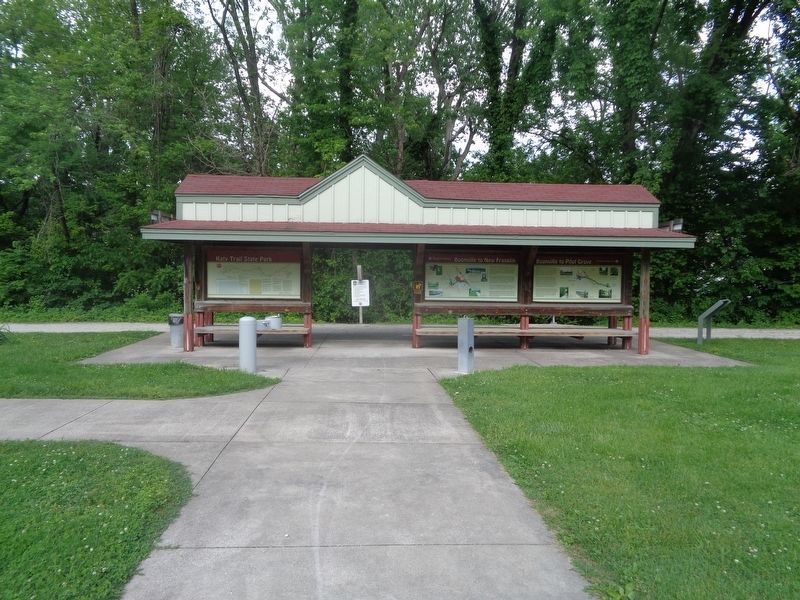
Marker is the middle column, at Katy Trail Boonville Trailhead.
Other nearby markers. At least 8 other markers are within walking distance of this marker: History of Boonville (here, next to this marker); From Boone's Lick to Boonslick (here, next to this marker); Boonville to Pilot Grove (a few steps from this marker); 25th Anniversary (a few steps from this marker); Boonville Depot (about 500 feet away, measured in a direct line); The End of the Line (about 500 feet away); "Caboose #134" (about 500 feet away); Kemper Military School & College 1844-2002 (approx. ¼ mile away). Touch for a list and map of all markers in Boonville.
Also see . . . Katy Trail State Park (Missouri State Parks). (Submitted on May 26, 2024, by Jason Voigt of Glen Carbon, Illinois.)
Credits. This page was last revised on May 26, 2024. It was originally submitted on May 26, 2024, by Jason Voigt of Glen Carbon, Illinois. This page has been viewed 332 times since then and 40 times this year. Photos: 1, 2. submitted on May 26, 2024, by Jason Voigt of Glen Carbon, Illinois.
