Near Tensaw in Baldwin County, Alabama — The American South (East South Central)
Tensaw
⎯⎯⎯
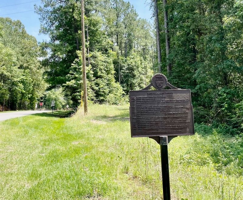
Early History of Tensaw

Photographed by Mark Hilton, May 28, 2024
1. Tensaw Marker
1790 European-Americans settled among the Creeks; Samuel Mims operated Mims ferry; David Mims home was built,
among oldest frame buildings in Baldwin County
1800
this page online
1803 Circuit Rider Lorenzo Dow visited; Cotton gin built at Pierce’s Mill
1811 Post Office established, first in Baldwin County
1813 Fort Mims was attacked, nearly 400 killed
Fort Montgomery, complete with cannons, housed the first hospital in the area
1820s Plantations were built around Montgomery Hill as soldiers received land after War of 1812
1830 Methodist and Baptists established the Union Church on Holley Creek
1840 Montgomery Hill Baptist Church was organized, the first in Baldwin County
1854 Montgomery Hill Baptist Church was built
1850s Montgomery Hill Masonic Lodge was among the first in Baldwin County
1865 Union Troops heading north after the War burned the Booth plantation
Erected 2017 by Baldwin County Historic Development and Baldwin County Commission AL200.
Topics. This historical marker is listed in these topic lists: Indigenous Peoples and Communities • Settlements & Settlers. A significant historical year for this entry is 1813.
Location. 31° 10.002′ N, 87° 47.34′ W. Marker is near Tensaw, Alabama, in Baldwin County. It is on Boatyard Road

Photographed by Mark Hilton, May 28, 2024
2. Early History of Tensaw Marker

Regionally, this marker is on the Gulf Coast and in the Mobile Bay area. It is also in the American South, specifically in the Deep South, and on the Gulf Coast. Globally, it is in North America, a Gulf of Mexico state, the Western Hemisphere, the Western World, and the Anglosphere. Historically, it finds itself in what was once New Spain, the Viceroyalty of New France, the territory of the Mississippian Culture, one of the Confederate States of America, and the Antebellum South.
Other nearby markers. At least 8 other markers are within 3 miles of this marker, measured as the crow flies: The Old Federal Road / The Black Crossing (approx. 0.9 miles away); Fort Mims (approx. 2.9 miles away); Fort Mims Massacre (approx. 3 miles away); Fort Mims And The Creek Indian War, 1813-14 (approx. 3 miles away); The South Wall (approx. 3 miles away); War in the Tensaw, 1813 (approx. 3 miles away); Main Compound (approx. 3 miles away); The Battle of Fort Mims
Photographed by Mark Hilton, May 28, 2024
3. Looking east from marker towards Alabama Highway 59.
Credits. This page was last revised on May 28, 2024. It was originally submitted on May 28, 2024, by Mark Hilton of Montgomery, Alabama. This page has been viewed 1,819 times since then and 282 times this year. Photos: 1, 2, 3. submitted on May 28, 2024, by Mark Hilton of Montgomery, Alabama.
