Tewkesbury in Gloucestershire, England, United Kingdom — Northwestern Europe (the British Isles)
High Street
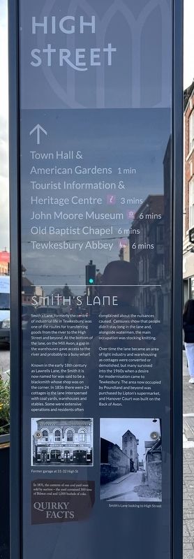
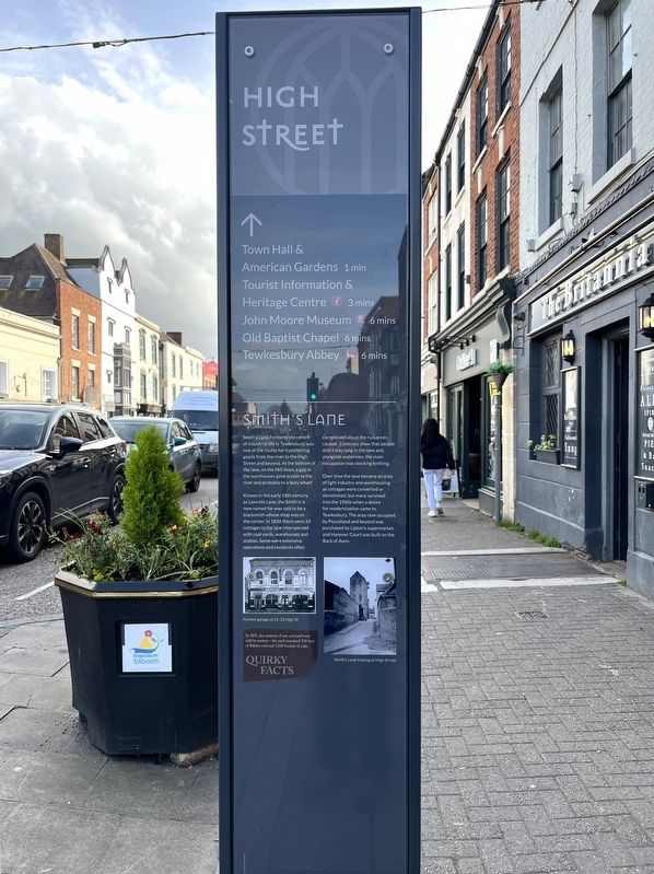
Smith's Lane
Photographed by Ray Gurganus, April 5, 2024
1. High Street Marker
Known in the early 18th century as Lawrells Lane, the Smith it is now named for was said to be a blacksmith whose shop was on the corner. In 1836 there were 24 cottages in the lane interspersed with coal yards, warehouses and stables. Some were extensive operations and residents often complained about the nuisances caused. Censuses show that people didn't stay long in the lane and alongside watermen, the main occupation was stocking knitting.
Over time the lane became an area of light industry and warehousing as cottages were converted or demolished, but many survived into the 1960s when a desire for modernisation came to Tewkesbury. The area now occupied by Poundland and beyond was purchased by Lipton's supermarket and Hanover Court was built on the Back of Avon.
Topics. This historical marker is listed in these topic lists: Industry & Commerce
this page online
Location. 51° 59.667′ N, 2° 9.414′ W. Marker is in Tewkesbury, England, in Gloucestershire. It is on High Street, on the right when traveling south. Touch for map. Marker is at or near this postal address: 31-32 High Street, Tewkesbury, England GL20 5BB, United Kingdom. Touch for directions.

Regionally, this marker is in South West England. Globally, it is on the Atlantic Ocean, in the North Atlantic Region, in Europe, in Atlantic Europe, on one of the British Isles, in the Western World, and in the Anglosphere. Historically, it finds itself in what was once the Roman Empire.
Other nearby markers. At least 8 other markers are within 13 kilometers of this marker, measured as the crow flies: Tewkesbury Abbey (approx. half a kilometer away); Cheltenham Minster (approx. 11.7 kilometers away); South African War Memorial 1899-1902 (approx. 11.9 kilometers away); Cheltenham War Memorial (approx. 11.9 kilometers away); a different marker also named Cheltenham War Memorial (approx. 11.9 kilometers away); Dr. Edward Adrian Wilson (approx. 11.9 kilometers away);
Photographed by Ray Gurganus, April 5, 2024
2. High Street Marker
Credits. This page was last revised on June 1, 2024. It was originally submitted on May 29, 2024, by Ray Gurganus of Washington, District of Columbia. This page has been viewed 125 times since then and 11 times this year. Photos: 1, 2. submitted on May 29, 2024, by Ray Gurganus of Washington, District of Columbia. • Andrew Ruppenstein was the editor who published this page.
