Mount Vernon in Knox County, Ohio — The American Midwest (Great Lakes)
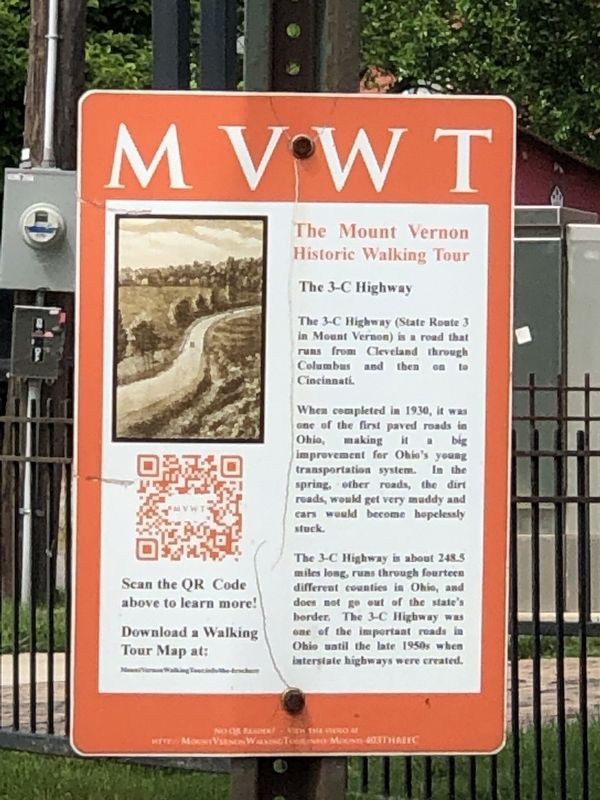
The 3-C Highway
| — | The Mount Vernon Historic Walking Tour | — |
Photographed by Duane and Tracy Marsteller, May 25, 2024
1. The 3-C Highway Marker
When completed in 1930, it was one of the first paved roads in Ohio, making it a big improvement for Ohio's young transportation system. In the spring, other roads, the dirt roads, would get very muddy and cars would become hopelessly stuck.
The 3-C Highway is about 248.5 miles long, runs through fourteen different counties in Ohio, and does not go out of the state's border. The 3-C Highway was one of the important roads in Ohio until the late 1950s when interstate highways were created.
Erected by Mount Vernon elementary students.
Topics. This historical marker is listed in this topic list: Roads & Vehicles. A significant historical year for this entry is 1930.
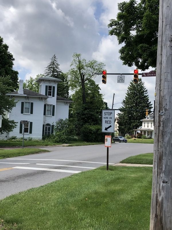
Location. 40° 24.018′ N, 82° 29.071′ W. Marker is in Mount Vernon, Ohio, in Knox County. It is at the intersection of Wooster Avenue (Ohio Route 3) and North Main Street, on the right when traveling south on Wooster Avenue. Marker is mounted on a traffic sign post facing southbound Wooster Avenue traffic. Touch for map.
this page online

Regionally, this marker is in Amish Country. It is also in the American Midwest and in the Corn Belt. Globally, it is in North America, the Western Hemisphere, the Western World, and the Anglosphere. Historically, it finds itself in what was once the Haudenosaunee (Iroquois) Confederacy, the territory of the Mississippian Culture, and the Northwest Territory.
Other nearby markers. At least 8 other markers are within walking distance of this marker: Curtis-Seeberger House (about 500 feet away, measured in a direct line); Dr. Frank Carter Larimore (approx. 0.3 miles away); “Seek Justice. Love Kindness” (approx. 0.3 miles away); First Congregational United Church of Christ (approx. 0.3 miles away); Mary Ann Ball Bickerdyke (approx. 0.4 miles away); Mary Ann Ball (approx. half a mile away); War Savings Stamps (approx. half a mile away); Millstone (approx. half a mile away). Touch for a list and map of all markers in Mount Vernon.
Also see . . .
1. Historic Mount Vernon Walking Tour ~ 403 ~ The 3C Highway.
Photographed by Duane and Tracy Marsteller, May 25, 2024
2. The 3-C Highway Marker
2. Ohio State Route 3. Wikipedia entry on the historic highway, whose completion was celebrated with parades. (Submitted on May 30, 2024, by Duane and Tracy Marsteller of Murfreesboro, Tennessee.)
3. Historic Mount Vernon Walking Tour. Home page for the tour, created by gifted students in Mount Vernon's elementary schools. (Submitted on May 30, 2024, by Duane and Tracy Marsteller of Murfreesboro, Tennessee.)
Credits. This page was last revised on May 31, 2024. It was originally submitted on May 30, 2024, by Duane and Tracy Marsteller of Murfreesboro, Tennessee. This page has been viewed 529 times since then and 60 times this year. Photos: 1, 2. submitted on May 30, 2024, by Duane and Tracy Marsteller of Murfreesboro, Tennessee.
