Swatara Township near Jonestown in Lebanon County, Pennsylvania — The American Northeast (Mid-Atlantic)
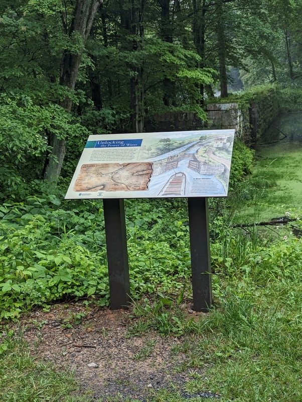
Unlocking the Power of Water

Photographed by William Pope, May 27, 2024
1. Unlocking the Power of Water Marker
A Boat Elevator
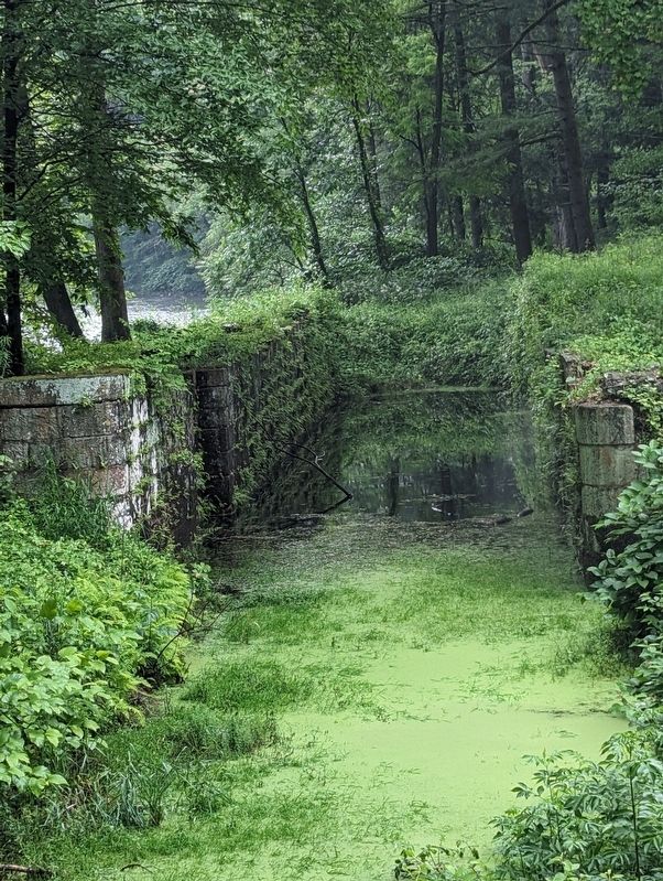
Canal locks raised boats from the lower downstream to the higher upstream water levels of the canal and then lowered them on the return trip. Using the power of water, the four locks located here would lift boats bound upstream for Pine Grove approximately 34 feet to the reservoir water level behind the Big Dam. If you continue along the trail to your right, you will arrive at the remnants of the highest lock on the canal.
Topics and series. This historical marker is listed in these topic lists: Industry & Commerce • Waterways & Vessels. In addition, it is included in the Union Canal series list. A significant historical year for this entry is 1830.
Location. 40° 28.86′ N,
this page online

Regionally, this marker is in South-Central Pennsylvania, specifically in Pennsylvania Dutch Country, and in Greater Harrisburg. It is also in the American Northeast, in the Mid-Atlantic, in Appalachia, and specifically in Northern Appalachia. Globally, it is in North America, the Western Hemisphere, the Western World, and the Anglosphere. Historically, it finds itself in what was once the Haudenosaunee (Iroquois) Confederacy and also one of the original Thirteen Colonies.
Other nearby markers. At least 8 other markers are within 3 miles of this marker, measured as the crow flies: Union Canal (about 400 feet away, measured in
Photographed by William Pope, May 27, 2024
2. Unlocking the Power of Water Marker
Photographed by William Pope, May 27, 2024
3. Unlocking the Power of Water Marker
Credits. This page was last revised on June 8, 2024. It was originally submitted on May 31, 2024, by William Pope of Marietta, Pennsylvania. This page has been viewed 291 times since then and 32 times this year. Photos: 1, 2, 3. submitted on May 31, 2024, by William Pope of Marietta, Pennsylvania. • Bill Pfingsten was the editor who published this page.
