Westerville in Franklin County, Ohio — The American Midwest (Great Lakes)
Squire's Glen Farm

Photographed by Duane and Tracy Marsteller, May 25, 2024
1. Squire's Glen Farm Marker
Topics and series. This historical marker is listed in these topic lists: Agriculture • Architecture. In addition, it is included in the National Register of Historic Places (NRHP) series list. A significant historical year for this entry is 1824.
Location. 40° 5.846′ N, 82° 53.394′ W. Marker is in Westerville, Ohio, in Franklin County. It is on South Sunbury Road north of Colony Drive, on the right when traveling north. Touch for map. Marker is at or near this postal address: 1100 S Sunbury Rd, Westerville OH 43081, United States of America. Touch for directions.

Regionally, this marker is in the Scioto Valley and in the Columbus Metropolitan Area. It is also in the American Midwest and in the Corn Belt. Globally, it is in North America, the Western Hemisphere, the Western World, and the Anglosphere. Historically, it finds itself in what was once the Haudenosaunee (Iroquois) Confederacy, the territory of the Mississippian Culture, and the Northwest Territory.
Other nearby markers. At
this page online
Another marker is no longer nearby. Blendon Church Bell (was approx. 0.2 miles away but has been confirmed missing).
Regarding Squire's Glen Farm. Excerpts from the National Register nomination:
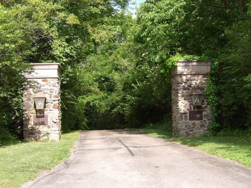
In 1807 Squire Timothy Lee (1786-1862) from New York State, located on 500 acres in Twp. 2, Range 17, Blendon Twp., U.S. Military lands in Ohio. He later bought 170 acres more adjoining Big Belly Creek, known today as Big Walnut. By 1815 he built a sawmill, woolen factory, grist mill and distillery on the creek banks. These mills were among the earliest in this area of FranklinCounty. …Photographed by Duane and Tracy Marsteller, May 25, 20242. Squire's Glen Farm MarkerFeatured marker is on the left pillar at the property entrance.
He married Rhoda Taylor and together they established Central College. He donated the land and built the needed buildings.
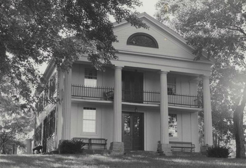
Timothy Lee built his home on the first bottom land of Big Walnut Creek in 1824. It was one of the first homes in Blendon Township and helped found the town of Amalthea, later known as Central College.
Also see . . . Squire's Glen Farm (PDF). National Register nomination for the property, which was listed in 1974. (Prepared by Carolyn L. Corbett and Judith Kitchen; via National Archives) (Submitted on June 1, 2024, by Duane and Tracy Marsteller of Murfreesboro, Tennessee.)
James Beck, from National Register of Historic Places nomination; via National Archives (Public Domain), August 1972
3. Squire's Glen Farm main house
It is called "an extremely fine and well-preserved example of the Greek revival style" in the National Register nomination.
Credits. This page was last revised on June 2, 2024. It was originally submitted on June 1, 2024, by Duane and Tracy Marsteller of Murfreesboro, Tennessee. This page has been viewed 950 times since then and 139 times this year. Photos: 1, 2, 3. submitted on June 1, 2024, by Duane and Tracy Marsteller of Murfreesboro, Tennessee.
