Westerville in Franklin County, Ohio — The American Midwest (Great Lakes)
First Presbyterian Church

Photographed by Duane and Tracy Marsteller, May 25, 2024
1. First Presbyterian Church Marker
Historically, church members have taken active roles in local and national movements. Hannah Mayne, president of the Women's Christian Temperance Union local chapter, led an effort to ban the State Theatre from showing movies on Sunday. She was the first woman elected as an elder in the Columbus Presbytery. Named in her honor are a city park and a residence hall at Otterbein University. Agnes Meyer Driscoll joined the U.S. Navy in 1918 and was assigned the highest position allowed for women, Chief Yeoman. A leading cryptanalyst, she was instrumental in breaking complex Japanese navy codes during World War II.
Erected by Uptown Westerville Inc.
Topics. This historical marker is listed in these topic lists:
this page online
Location. 40° 7.538′ N, 82° 55.979′ W. Marker is in Westerville, Ohio, in Franklin County. It is at the intersection of West College Avenue and South Knox Street, on the right when traveling east on West College Avenue. Touch for map. Marker is at or near this postal address: 41 W College Ave, Westerville OH 43081, United States of America. Touch for directions.

Regionally, this marker is in the Scioto Valley and in the Columbus Metropolitan Area. It is also in the American Midwest and in the Corn Belt. Globally, it is in North America, the Western Hemisphere, the Western World, and the Anglosphere. Historically, it finds itself in what was once the Haudenosaunee (Iroquois) Confederacy, the territory of the Mississippian Culture, and the Northwest Territory.
Other nearby markers. At least 8 other markers are within walking distance of this marker: 11 West College Avenue (within shouting distance of this marker); J.R. William's Bakery (within shouting distance of this marker); Uptown Westerville Historic District
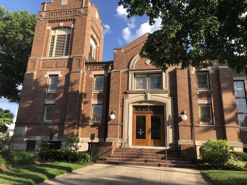
Photographed by Duane and Tracy Marsteller, May 25, 2024
2. First Presbyterian Church Marker
Credits. This page was last revised on June 2, 2024. It was originally submitted on June 2, 2024, by Duane and Tracy Marsteller of Murfreesboro, Tennessee. This page has been viewed 185 times since then and 17 times this year. Photos: 1, 2. submitted on June 2, 2024, by Duane and Tracy Marsteller of Murfreesboro, Tennessee.
