
Westerville in Franklin County, Ohio — The American Midwest (Great Lakes)
30 East College Avenue

Photographed by Duane and Tracy Marsteller, May 25, 2024
1. 30 East College Avenue Marker
William Moses moved to town in 1884 to open a grocery store at 11 North State Street. He purchased the College Avenue house in 1888; married Westerville native Ora Frazier, and began a family. William operated the grocery for over 40 years. Ora was a charter member of the New Century Club, a women's literary group.
Pictured here is daughter Helen Frazier Moses who lived her entire 78 years in this house. Upon graduating from Otterbein University, Helen taught one block away at Vine Street School. She traveled abroad and for over two decades shared stories of this European tour with her students.
Erected by Uptown Westerville Inc.
Topics. This historical marker is listed in these topic lists: Architecture • Education • Industry & Commerce
this page online
Location. 40° 7.57′ N, 82° 55.836′ W. Marker is in Westerville, Ohio, in Franklin County. It is at the intersection of East College Avenue and Haywood Alley, on the left when traveling east on East College Avenue. Touch for map. Marker is at or near this postal address: 30 E College Ave, Westerville OH 43081, United States of America. Touch for directions.

Regionally, this marker is in the Scioto Valley and in the Columbus Metropolitan Area. It is also in the American Midwest and in the Corn Belt. Globally, it is in North America, the Western Hemisphere, the Western World, and the Anglosphere. Historically, it finds itself in what was once the Haudenosaunee (Iroquois) Confederacy, the territory of the Mississippian Culture, and the Northwest Territory.
Other nearby markers. At least 8 other markers are within walking distance of this marker: 14-16-18 East College Avenue (within shouting distance of this marker); First National Bank / W.C. Bale Hardware (within shouting distance of this marker); Robinson Block (within shouting distance of this marker); D.H. Budd Buggies
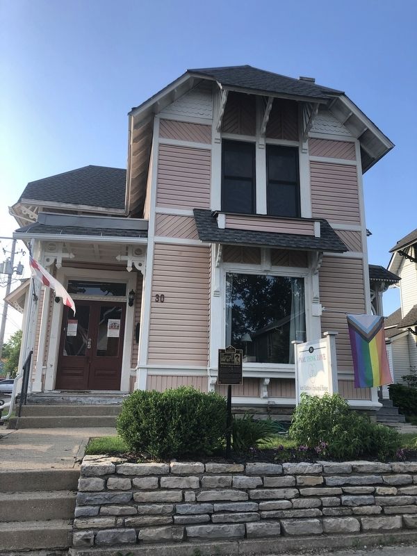
Photographed by Duane and Tracy Marsteller, May 25, 2024
2. 30 East College Avenue Marker
Credits. This page was last revised on June 2, 2024. It was originally submitted on June 2, 2024, by Duane and Tracy Marsteller of Murfreesboro, Tennessee. This page has been viewed 201 times since then and 27 times this year. Photos: 1, 2. submitted on June 2, 2024, by Duane and Tracy Marsteller of Murfreesboro, Tennessee.
