Near St. Clairsville in Belmont County, Ohio — The American Midwest (Great Lakes)
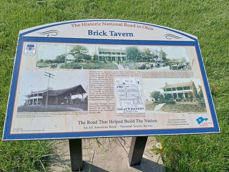
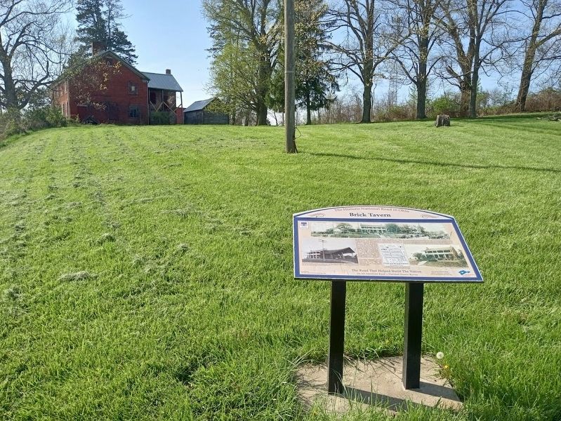
Brick Tavern
The Historic National Road in Ohio
Photographed by Jason Voigt, April 16, 2024
1. Brick Tavern Marker
Ownership changed several times, and in 1855 Simon Lentz operated the inn. The title remained in the Lentz family through 1886.
Erected by Ohio National Road Association.
Topics and series. This historical marker is listed in these topic lists: Architecture • Industry & Commerce • Roads & Vehicles. In addition, it is included in the The Historic National Road series list. A significant historical year for this entry is 1828.
Location. 40° 4.376′ N, 80° 58.928′ W. Marker is near St. Clairsville, Ohio, in Belmont County. It is on National Road West (U.S. 40) west
this page online

Regionally, this marker is in Ohio’s High Valley. It is also in the American Midwest, in Appalachia, and specifically in Northern Appalachia. Globally, it is in North America, the Western Hemisphere, the Western World, and the Anglosphere. Historically, it finds itself in what was once the Haudenosaunee (Iroquois) Confederacy, the territory of the Mississippian Culture, and the Northwest Territory.
Other nearby markers. At least 8 other markers are within 2 miles of this marker, measured as the crow flies: Great Western School (a few steps from this marker); "Covered Bridge" (approx. 0.6 miles away); Ohio Native Plants (approx. 1.6 miles away); Ohio Buckeye Tree (approx. 1.6 miles away); State of Ohio (approx. 1.6 miles away); a different marker also named Ohio Native Plants (approx. 1.6 miles away); a different marker also named Ohio Native Plants (approx. 1.6 miles away); a different marker also named Ohio Native Plants
Photographed by Jason Voigt, April 16, 2024
2. Brick Tavern Marker
Also see . . . Brick Tavern House on Wikipedia. (Submitted on June 2, 2024, by Jason Voigt of Glen Carbon, Illinois.)
Credits. This page was last revised on August 29, 2024. It was originally submitted on June 2, 2024, by Jason Voigt of Glen Carbon, Illinois. This page has been viewed 441 times since then and 49 times this year. Photos: 1, 2. submitted on June 2, 2024, by Jason Voigt of Glen Carbon, Illinois.
