Upper Arlington in Franklin County, Ohio — The American Midwest (Great Lakes)
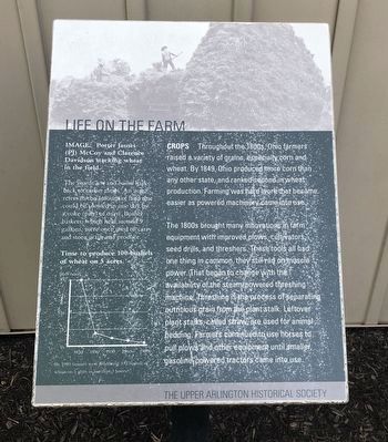
Life on the Farm
Crops
Photographed by Duane and Tracy Marsteller, May 26, 2024
1. Life on the Farm Marker
The 1800s brought many innovations in farm equipment with improved plows, cultivators, seed drills, and threshers. These tools all had one thing in common; they still ran on muscle power. That began to change with the availability of the steam-powered threshing machine. Threshing is the process of separating nutritious grain from the plant stalk. Leftover plant stalks, called straw, are used for animal bedding. Farmers continued to use horses to pull plows and other equipment until smaller, gasoline-powered tractors came into use.
Image Porter James (PJ) McCoy and Clarence Davidson stacking wheat in the field.
The words acre and bushel hark back to earlier times. An acre refers to the amount of land that could be plowed in one day by a yoke (pair) of oxen. Bushel baskets, which held around 9 gallons, were once used to carry and store
this page online
Erected by Upper Arlington Historical Society.
Topics. This historical marker is listed in this topic list: Agriculture. A significant historical year for this entry is 1849.
Location. 40° 2.797′ N, 83° 3.62′ W. Marker is in Upper Arlington, Ohio, in Franklin County. It can be reached from the intersection of Carriage Hill Lane and Windham Road when traveling south. Marker is by the Amelita Mirolo Barn in Sunny 95 Park. Touch for map. Marker is at or near this postal address: 4395 Carriage Hill Ln, Columbus OH 43220, United States of America. Touch for directions.

Regionally, this marker is in the Scioto Valley and in the Columbus Metropolitan Area. It is also in the American Midwest and in the Corn Belt. Globally, it is in North America, the Western Hemisphere, the Western World, and the Anglosphere. Historically, it finds itself in what was once the Haudenosaunee (Iroquois) Confederacy, the territory of the Mississippian Culture, and the Northwest Territory.
Other nearby markers. At least 8 other markers are within 2 miles of this marker, measured as the crow flies: A different marker also named
Photographed by Duane and Tracy Marsteller, May 26, 2024
2. Life on the Farm Marker
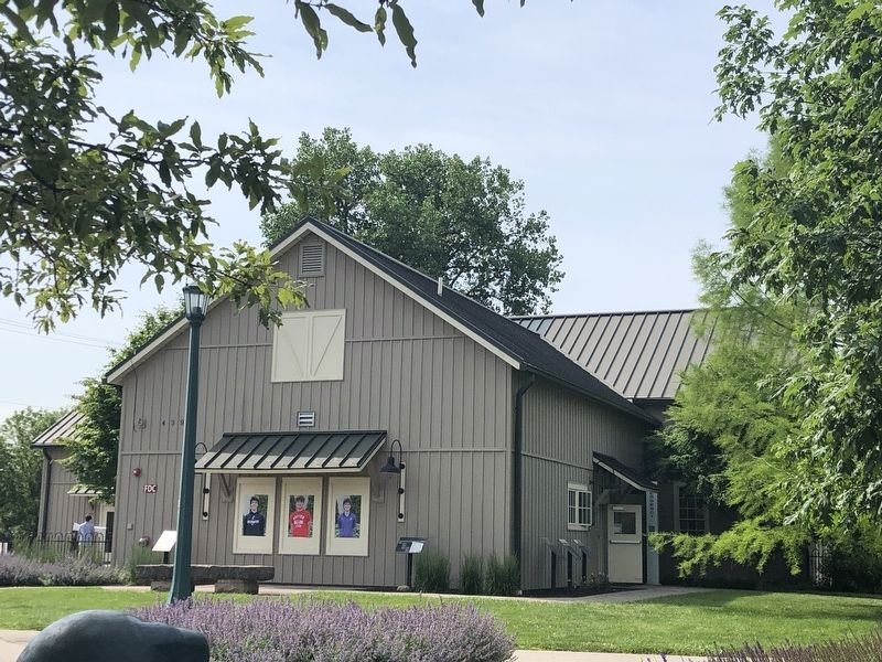
Featured marker is the first one on the right (on the side wall).
Another marker is no longer nearby. Carrie Nelson Black / The Breathing Association (was approx. 0.4 miles away but has been confirmed missing).
Credits. This page was last revised on June 5, 2024. It was originally submitted on June 5, 2024, by Duane and Tracy Marsteller of Murfreesboro, Tennessee. This page has been viewed 173 times since then and 18 times this year. Photos: 1, 2. submitted on June 5, 2024, by Duane and Tracy Marsteller of Murfreesboro, Tennessee.
