Union Township in Anderson in Ross County, Ohio — The American Midwest (Great Lakes)
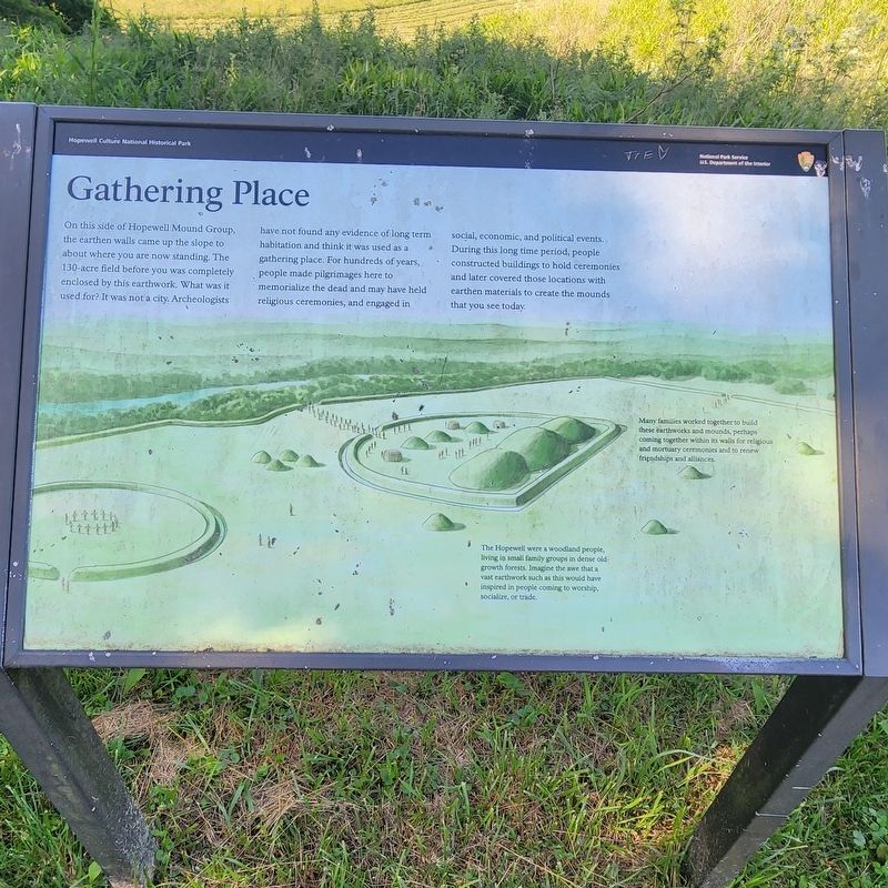
Gathering Place
Photographed by Cajun Scrambler, May 28, 2024
1. Gathering Place Marker
The Hopewell were a woodland people, living io small family groups in dense old growth forests. Imagine the awe that a vast earthwork such as this would have inspired in people coming to worship, socialize, or trade.
Many families worked together to build these earthworks and mounds, perhaps coming together within its walls for religious and mortuary ceremonies and to renew friendships and alliances.
Topics. This historical
this page online
Location. 39° 21.851′ N, 83° 5.446′ W. Marker is in Anderson, Ohio, in Ross County. It is in Union Township. It can be reached from Sulphur Lick Road near Maple Grove Road. Touch for map. Marker is in this post office area: Chillicothe OH 45601, United States of America. Touch for directions.

Regionally, this marker is in the Scioto Valley and in Southern Ohio Hill Country. It is also in the American Midwest, in the Corn Belt, and in Northern Appalachia. Globally, it is in North America, the Western Hemisphere, the Western World, and the Anglosphere. Historically, it finds itself in what was once the Viceroyalty of New France, the Haudenosaunee (Iroquois) Confederacy, the territory of the Mississippian Culture, and the Northwest Territory.
Other nearby markers. At least 8 other markers are within walking distance of this marker: Why Here? (approx. 0.2 miles away); Riddle of Circles and Squares (approx. 0.2 miles away); Hopewell Mound Group (approx. ¼ mile away); Who Were the Hopewell (approx. ¼ mile
Photographed by Cajun Scrambler, May 28, 2024
2. Gathering Place Marker
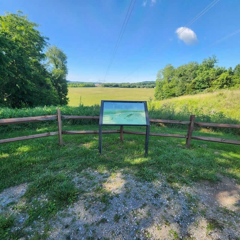
More about this marker. Located along the walking path, inside the Hopewell Mound Group Park.
Credits. This page was last revised on June 6, 2024. It was originally submitted on June 6, 2024, by Cajun Scrambler of Assumption, Louisiana. This page has been viewed 244 times since then and 30 times this year. Photos: 1, 2. submitted on June 6, 2024, by Cajun Scrambler of Assumption, Louisiana.
