Dinwiddie in Dinwiddie County, Virginia — The American South (Mid-Atlantic)
The Battle of Dinwiddie Court House

Photographed by Bernard Fisher, June 8, 2024
1. The Battle of Dinwiddie Court House Marker
"The current was filled with the bodies of the dead and wounded."
The Attack on Sheridan's Left Flank
Major General Sheridan dispersed his Union Cavalry Corps' and advanced on the high open "plateau" at Dinwiddie Court House. Below you to the left is Fitzgerald's Ford, the crossing of Ford Station Road (present day Wilkinson Road). Colonel Charles H. Smith's Brigade picketed the stream crossing. Brigadier General Henry Davies' Brigade guarded Danse's Ford one half mile to the north. To the northeast, Colonel Peter Stagg's Brigade moved up the Crump Road (present day Boisseau Road) approaching the critical White Oak Road which connected to the right flank of the Rebel works. Colonel Charles Fitzhugh's Brigade proceeded up the Dinwiddie Court House Road towards Five Forks. Brigadier General Alfred Gibbs' Brigade was in reserve at the Boisseau Farm.
On March 31, 1865, Confederate Major General Fitzhugh Lee's cavalrymen and Major General Pickett's infantrymen marched over muddy roads west of Chamberlain's Bed with the intentions of crossing the stream at Fitzgerald's Ford and flanking Sheridan's troops. Finding the
this page online
Major General W.H.F. "Rooney" Lee's cavalry attacked Smith's Federal brigade here at Fitzgerald's Ford at approximately 11 a.m. Smith's cavalrymen, armed with Henry and Spencer repeating rifles, hotly contested the crossing. North Carolina and Virginia units were repulsed with heavy casualties, many Confederates being killed or wounded in the creek, some being completely overwhelmed by the rushing waters and drowned. A Maine soldier remembered "the current was filled with the bodies of the dead and wounded; but on they still came." Smith called upon Davies at Danse's Ford for assistance.
For more information on tours, preservation efforts and the history of the battlefields in and around Petersburg, visit the Petersburg Battlefields Foundation at www.petebattlefields.org
Erected 2024 by Petersburg Battlefields Foundation.
Topics. This historical marker is listed in this topic list: War, US Civil. A significant historical date for this entry is March 31, 1865.
Location. 37° 5.605′ N, 77° 36.483′ W. Marker is in Dinwiddie,
Photographed by Bernard Fisher, June 8, 2024
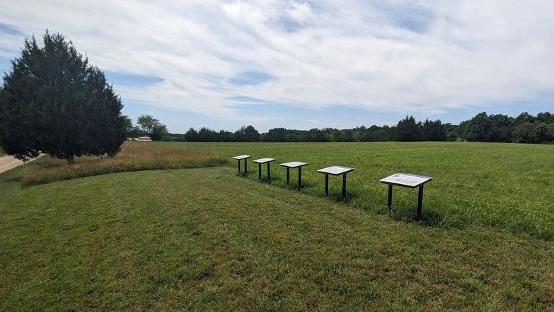
2. The Battle of Dinwiddie Court House Markers
Original location. Later moved to corresponding tour stops.

Regionally, this marker is in Virginia’s Piedmont, in Southside Virginia, and specifically in Central Virginia. It is also in the American South and specifically in the Upper South. Globally, it is in North America, the Western Hemisphere, the Western World, and the Anglosphere. Historically, it finds itself in what was once the territory of the Mississippian Culture, one of the original Thirteen Colonies, one of the Confederate States of America, and the Antebellum South.
Other nearby markers. At least 8 other markers are within 2 miles of this marker, measured as the crow flies: A different marker also named The Battle of Dinwiddie Court House (approx. 1.1 miles away); a different
Photographed by Evan Dwyer, November 28, 2025
3. The Battle of Dinwiddie Court House Marker
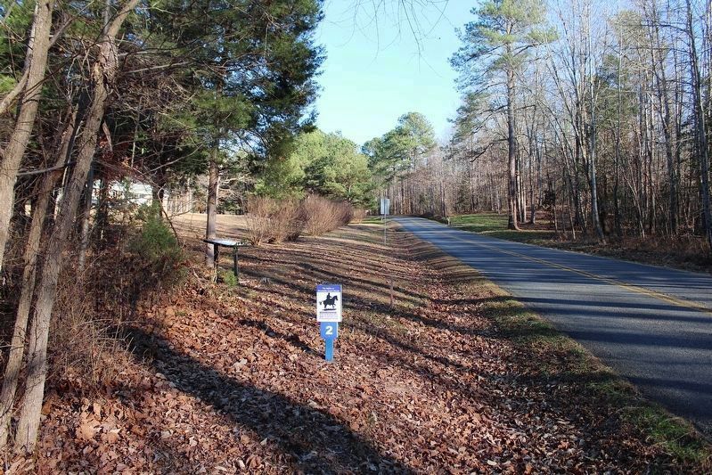
View facing east up Wilkinson Road from the small parking pull-off.
Another marker is no longer nearby. Early Education in Dinwiddie County (was approx. 1.6 miles away but has been replaced with another marker now near it).
More about this marker. Originally placed at Bonneville Farm in 2024, this marker moved to Fitzgerald's Ford in 2025. Warning: The location is highly hazardous due to limited visibility on a steep curve. There is a one-car gravel pull-off; it is recommended to back in so you can exit forward into traffic. Please use extreme caution when stopping here.
Related markers. Click here for a list of markers that are related to this marker. This marker is one of five that comprise the Battle
Photographed by Evan Dwyer, November 28, 2025
4. Fitzgerald's Ford
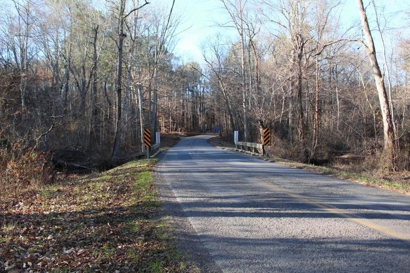
Ford is to the left of the bridge. The road shown is Wilkinson. The marker is on the opposite side of the road, to the right rear of the photographer.
Also see . . .
1. Petersburg Battlefields Foundation. (Submitted on June 8, 2024.)
2. Petersburg Battlefields Foundation Facebook Page. (Submitted on June 8, 2024.)
3. Petersburg National Battlefield. National Park Service (Submitted on June 8, 2024.)
Photographed by Evan Dwyer, November 28, 2025
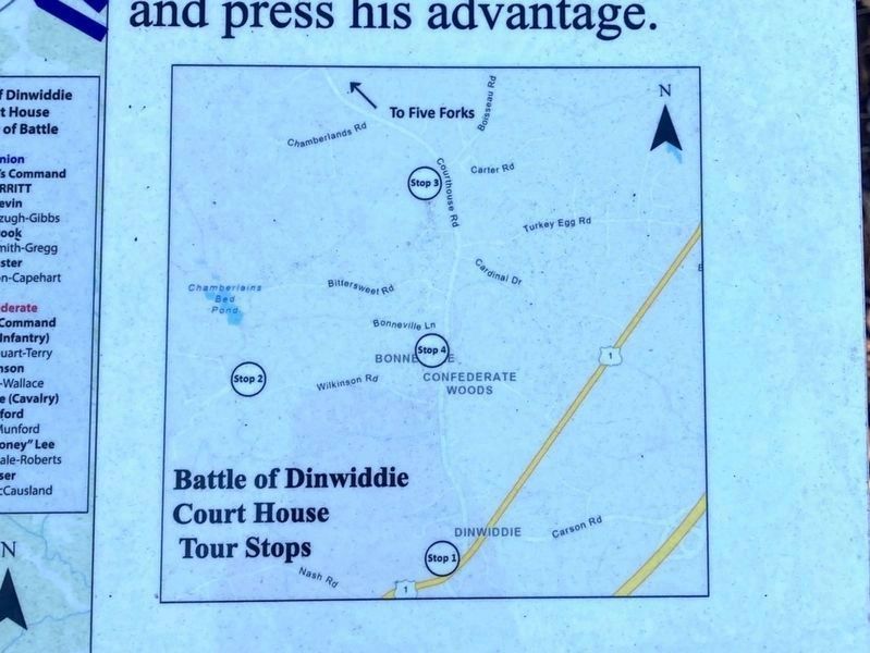
5. Battle of Dinwiddie Courthouse Driving Tour
This marker is Stop 2 of 4.
Credits. This page was last revised on January 19, 2026. It was originally submitted on June 8, 2024, by Bernard Fisher of Richmond, Virginia. This page has been viewed 345 times since then and 47 times this year. Last updated on January 9, 2026, by Evan Dwyer of Richmond, Virginia. Photos: 1, 2. submitted on June 8, 2024, by Bernard Fisher of Richmond, Virginia. 3, 4, 5. submitted on January 9, 2026, by Evan Dwyer of Richmond, Virginia. • Devry Becker Jones was the editor who published this page.
