Guilford Center in South Central Region, Connecticut — The American Northeast (New England)
Barn
Photographed by Conrad Ward, April 22, 2024
1. Barn Marker
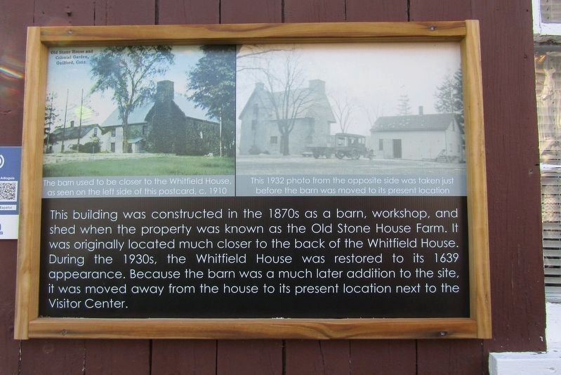
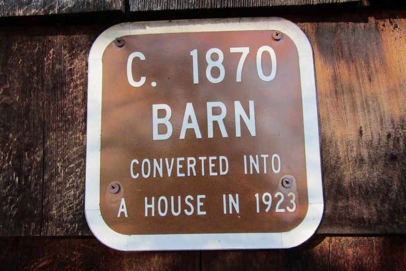
This building was constructed in the 1870s as a barn, workshop, and shed when the property was known as the Old Stone House Farm. It was originally located much closer to the back of the Whitfield House.
During the 1930s, the Whitfield House was restored to its 1639 appearance. Because the barn was a much later addition to the site, it was moved away from the house to its present location next to the Visitor Center.
Erected by Henry Whitfield State Museum.
Topics. This historical marker is listed in these topic lists: Agriculture • Notable Buildings. A significant historical year for this entry is 1870.
Location. 41° 16.697′ N, 72° 40.524′ W. Marker is in Guilford in South Central Region, Connecticut. It is in Guilford Center. It is on Stone House Lane north of Old Whitfield Street, on the left when traveling north. Located at the Henry Whitfield State Museum. Touch for map. Marker is at or near this postal address: 248 Old Whitfield Street, Guilford CT 06437, United States of America. Touch for directions.

Regionally, this marker is in the Connecticut River Valley, on the Connecticut Shoreline, and in Greater
this page online
Other nearby markers. At least 8 other markers are within walking distance of this marker: Outhouse Exhibit (here, next to this marker); War of 1812 Cannon (a few steps from this marker); Visitor Center (a few steps from this marker); Reverend Henry Whitfield (a few steps from this marker); Whitfield House (within shouting distance of this marker); Home of Rev. Henry Whitfield (within shouting distance of this marker); Covenant Stone (about 500 feet away, measured in a direct line); Made In Guilford (approx. 0.2 miles away). Touch for a list and map of all markers in Guilford.
Photographed by Conrad Ward, April 22, 2024
2. Barn Marker
Photographed by Conrad Ward, April 22, 2024
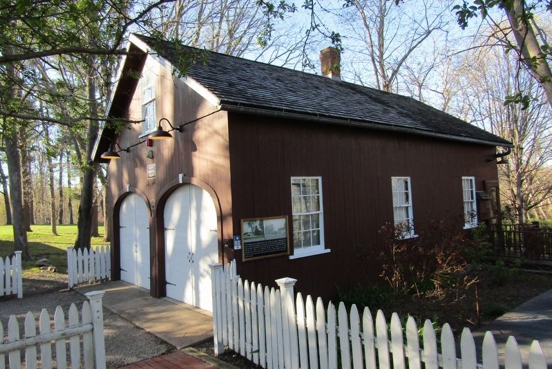
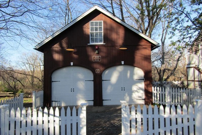
3. The Barn
Photographed by Conrad Ward, April 22, 2024
4. Barn Marker
Credits. This page was last revised on May 19, 2026. It was originally submitted on June 9, 2024, by Conrad Ward of Guilford, Connecticut. This page has been viewed 157 times since then and 18 times this year. Photos: 1, 2, 3, 4. submitted on June 9, 2024, by Conrad Ward of Guilford, Connecticut. • Michael Herrick was the editor who published this page.
