
St. Clair in Hamilton, Ontario — Central Canada (North America)
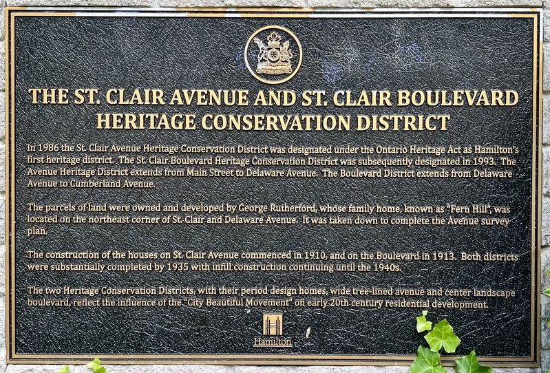
The St. Clair Avenue and St. Clair Boulevard Heritage Conservation District
Photographed by Tim Boyd, June 8, 2024
1. The St. Clair Avenue and St. Clair Boulevard Heritage Conservation District Marker
The parcels of land were owned and developed by George Rutherford, whose family home, known as “Fern Hill”, was located on the northeast corner of St. Clair and Delaware Avenue. It was taken down to complete the Avenue survey plan.
The construction of the houses on St. Clair Avenue commenced in 1910, and on the Boulevard in 1913. Both districts were substantially completed by 1935 with infill construction continuing until the 1940s.
The two Heritage Conservation Districts, with their period design homes, wide tree lined avenue and center landscape boulevard, reflect the influence of the City Beautiful Movement on early 20th century residential development.
Erected 1999 by The City Of Hamilton and the St. Clair Avenue / Boulevard
this page online
Topics. This historical marker is listed in these topic lists: Architecture • Roads & Vehicles. A significant historical year for this entry is 1986.
Location. 43° 14.757′ N, 79° 50.522′ W. Marker is in Hamilton, Ontario. It is in St. Clair. It is at the intersection of Delaware Avenue and St. Clair Boulevard, on the right when traveling east on Delaware Avenue. Touch for map. Marker is in this post office area: Hamilton ON L8M 2P1, Canada. Touch for directions.

Regionally, this marker is on Ontario’s Golden Horseshoe, in the Hamilton-Halton-Brant Area, and specifically in the Toronto Metropolitan Area. It is also in Central Canada. Globally, it is in North America, on the Great Lakes, in the Western Hemisphere, in the Western World, and in the Anglosphere. Historically, it finds itself in what was once a British colony, the Viceroyalty of New France, the Haudenosaunee (Iroquois) Confederacy, and Rupert’s Land.
Other nearby markers. At least 8 other markers are within walking distance of this marker: Nora Frances Henderson 1897-1949 (approx. 0.8 kilometers away); Horatio George Summers
Photographed by Tim Boyd, June 8, 2024
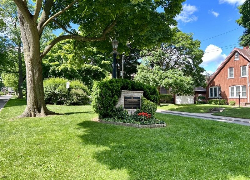
2. The St. Clair Avenue and St. Clair Boulevard Heritage Conservation District Marker
Also see . . . Skyrise Cities - Hamilton Part XIX: St. Clair Heritage Conservation District. Photo examples of the houses in the district (Submitted on June 9, 2024, by Tim Boyd of Hamilton, Ontario.)
Photographed by Tim Boyd, June 8, 2024
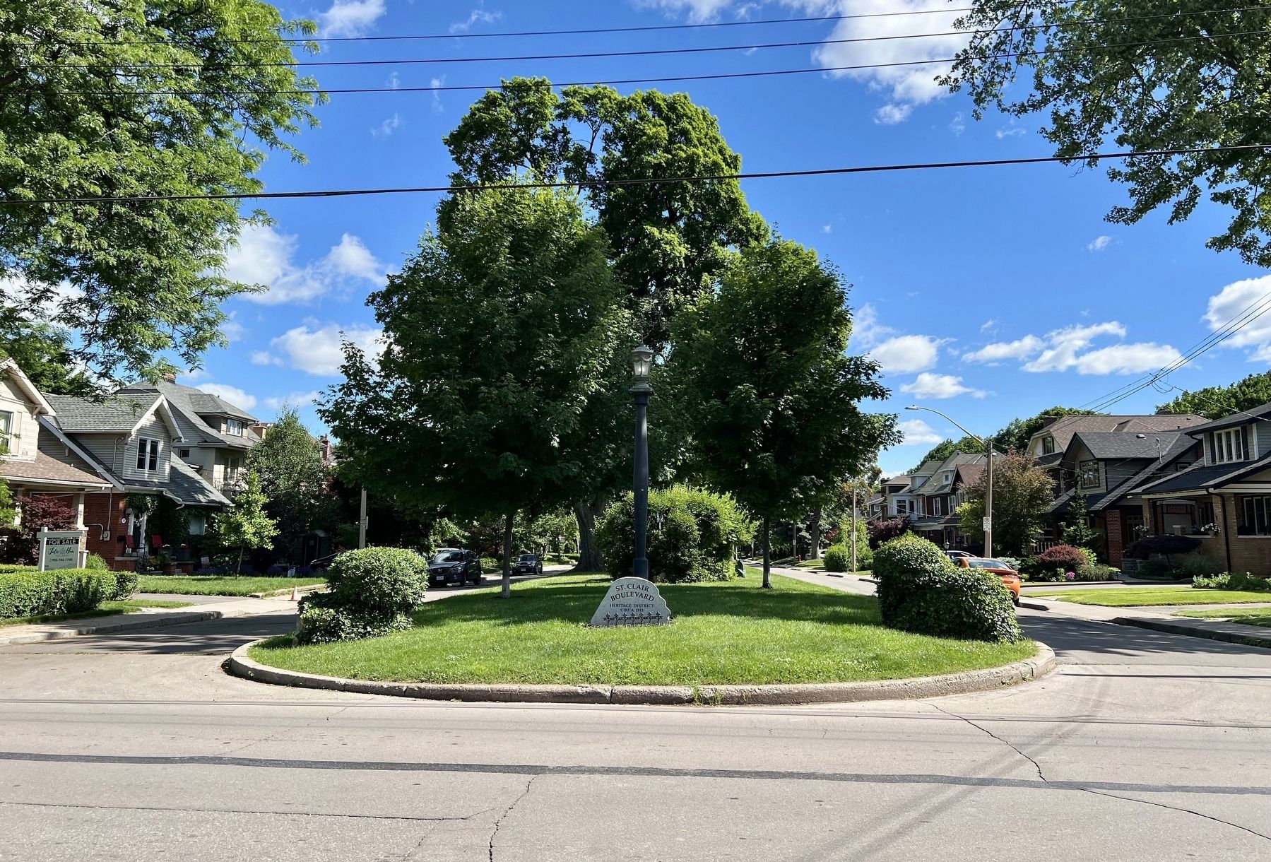
3. St. Clair Boulevard Heritage Conservation Disstrict, from Cumberland Avenue
Photographed by Tim Boyd, June 8, 2024
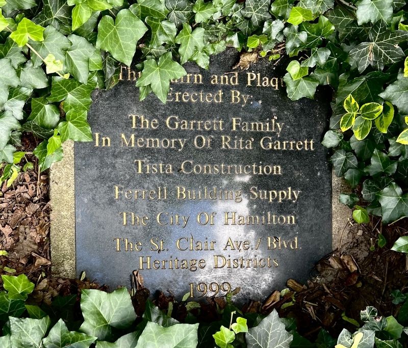
4. Dedication plaque for the St. Clair Conservation District Marker
Text: This Cairn and Plaque Erected By:
The Garrett Famil
In Memory Of Rita Garrett
Tista Construction
Ferrell Building Supply
The City Of Hamilton
The St. Clair Ave./ Blvd
Heritage Districts
1999
Credits. This page was last revised on June 19, 2024. It was originally submitted on June 9, 2024, by Tim Boyd of Hamilton, Ontario. This page has been viewed 440 times since then and 113 times this year. Photos: 1, 2, 3, 4. submitted on June 9, 2024, by Tim Boyd of Hamilton, Ontario. • Andrew Ruppenstein was the editor who published this page.
