
Winslow in Washington County, Arkansas — The American South (West South Central)
Downtown Winslow Commercial Historic District
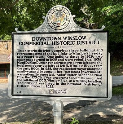
Photographed by Ann Malkie, May 24, 2024
1. Downtown Winslow Commercial Historic District Marker
Erected 2023 by Arkansas Heritage; City of Winslow. (Marker Number 40.)
Topics and series. This historical marker is listed in these topic lists: Government & Politics • Industry & Commerce • Settlements & Settlers • Women. In addition, it is included in the Arkansas Heritage series list. A significant historical year for this entry is 1929.
Location. 35° 48.035′ N, 94° 8.101′ W. Marker is in Winslow, Arkansas, in Washington County. It
this page online

Regionally, this marker is in Northwest Arkansas, on the Ozark Plateau, in the Cherokee Heritage Region, and in Osage Territory. It is also in the American South, specifically in the Upper South, and in the Ozarks. Globally, it is in North America, the Western Hemisphere, the Western World, and the Anglosphere. Historically, it finds itself in what was once the territory of the Mississippian Culture, the Louisiana Purchase, one of the Confederate States of America, and the Antebellum South.
Other nearby markers. At least 8 other markers are within 16 miles of this marker, measured as the crow flies: Helen Dunlap Memorial School for Mountain Girls (within shouting distance of this marker); Winslow Tunnel Date Stone (within shouting
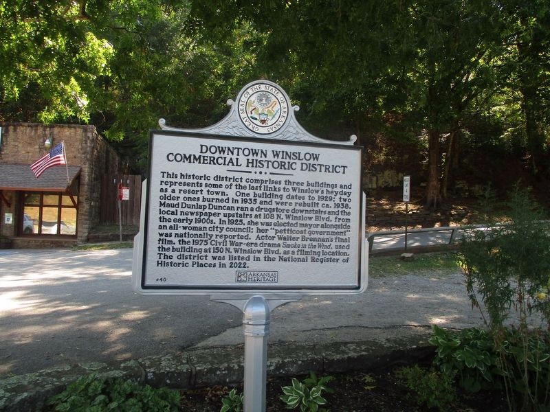
Photographed by Marc Hayot, August 29, 2026
2. Downtown Winslow Commercial Historic District Marker
Credits. This page was last revised on September 4, 2026. It was originally submitted on June 12, 2024, by Ashley Sides of Little Rock, Arkansas. This page has been viewed 616 times since then and 56 times this year. Photos: 1. submitted on June 12, 2024, by Ashley Sides of Little Rock, Arkansas. 2. submitted on August 30, 2026, by Marc Hayot of Siloam Springs, Arkansas. • Devry Becker Jones was the editor who published this page.
Editor’s want-list for this marker. A wide shot of the marker in context. • Can you help?
