Angeles National Forest in Los Angeles County, California — The American West (Pacific Coastal)
Ye Alpine Tavern Lobby
Mount Lowe Railway
| — | 1895 - 1936 | — |

Photographed by Craig Baker
1. Ye Alpine Tavern Lobby Marker
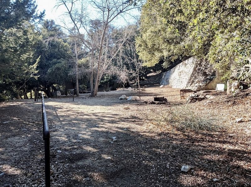
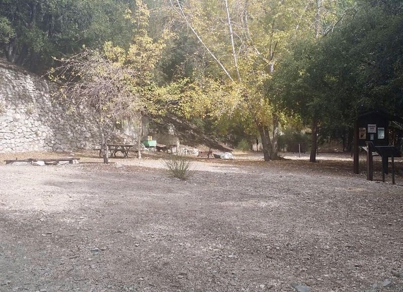
You are standing just above what was the basement below the lobby. However, if you were 10 feet higher, this is the a view you would have. The foundation for the wall at (Point "A") can be seen to your right, and small remains of the 12 foot wide fireplace can be seen to your left. (Point "B"). The red tiled area to the left is all that remains of the tavern's many rooms. The rest of the tavern is buried beneath where you are now standing.
Topics. This historical marker is listed in these topic lists: Parks & Recreational Areas • Railroads & Streetcars. A significant historical year for this entry is 1895.
Location. 34° 13.586′ N, 118° 6.628′ W. Marker is in Angeles National Forest, California, in Los Angeles County. It can be reached from the intersection of Mount Lowe Road and Mount Lowe Railroad Trail. Located at Mt Lowe Trail Camp. Hike 5 miles from the Cobb Estate trailhead with an altitude gain of 3,000 feet, or 2½ miles with a 1,200 foot gain from Eaton Saddle. Touch for map. Marker is in this post office area: Altadena CA 91001, United States of America. Touch for directions.

Regionally, this marker
this page online
Other nearby markers. At least 8 other markers are within walking distance of this marker: Cottages at Alpine Tavern (a few steps from this marker); Alpine Tavern (a few steps from this marker); The Bungalow (a few steps from this marker); End of the Line (Alpine Tavern) (a few steps from this marker); Ye Alpine Tavern (within shouting distance of this marker); Inspiration Point (approx. 0.3 miles away); One Man and Mule Railway (approx. 0.3 miles away); Easter Rock (approx. 0.4 miles away). Touch for a list and map of all markers in Angeles National Forest.
Photographed by Craig Baker
2. Ye Alpine Tavern Lobby Site and Marker
The marker is at the far end of the handrail.
Photographed by Craig Baker
3. Alpine Tavern Site
Credits. This page was last revised on January 9, 2025. It was originally submitted on June 15, 2024, by Craig Baker of Sylmar, California. This page has been viewed 200 times since then and 21 times this year. Photos: 1. submitted on June 15, 2024, by Craig Baker of Sylmar, California. 2, 3. submitted on May 30, 2024, by Craig Baker of Sylmar, California.
