Athens in Athens-Clarke County, Georgia — The American South (South Atlantic)
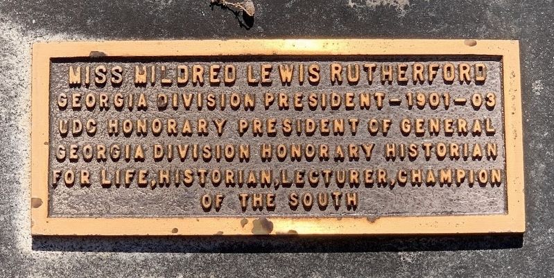
Miss Mildred Lewis Rutherford
Photographed by Darren Jefferson Clay, May 11, 2024
1. Miss Mildred Lewis Rutherford Marker
Topics. This historical marker is listed in this topic list: Cemeteries & Burial Sites.
Location. 33° 56.985′ N, 83° 22.109′ W. Marker is in Athens, Georgia, in Athens-Clarke County. It can be reached from Cemetery Street. Touch for map. Marker is at or near this postal address: 297 Cemetery St, Athens GA 30605, United States of America. Touch for directions.

Regionally, this marker is in the Classic City Area and in the Piedmont. It is also in the American South and specifically in the Deep South. Globally, it is in North America, the Western Hemisphere, the Western World, and the Anglosphere. Historically, it finds itself in what was once the territory of the Mississippian Culture, one of the original Thirteen Colonies, one of the Confederate States of America, and the Antebellum South.
Other nearby markers. At least 8 other markers are within walking distance of this marker: Lt. Col. Jefferson M. Lamar, C.S.A.
this page online
Also see . . . Mildred Lewis Rutherford. (Submitted on June 21, 2024, by Darren Jefferson Clay of Duluth, Georgia.)

Photographed by Darren Jefferson Clay, May 11, 2024
2. Miss Mildred Lewis Rutherford Marker

Photographed by Darren Jefferson Clay, May 11, 2024
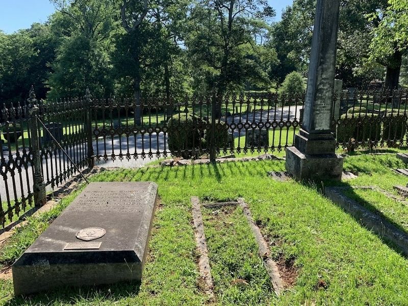
3. Miss Mildred Lewis Rutherford marker and gravesite
Photographed by Darren Jefferson Clay, May 11, 2024
4. Miss Mildred Lewis Rutherford marker and gravesite
Credits. This page was last revised on July 6, 2024. It was originally submitted on June 21, 2024, by Darren Jefferson Clay of Duluth, Georgia. This page has been viewed 158 times since then and 28 times this year. Photos: 1, 2, 3, 4. submitted on June 21, 2024, by Darren Jefferson Clay of Duluth, Georgia. • Bill Pfingsten was the editor who published this page.
