Loch Raven in Towson in Baltimore County, Maryland — The American Northeast (Mid-Atlantic)
Pioneer Walk
October 1999
Celebrating 50 Years of Service: 1949 to 1999
| — | Baltimore County Department of Recreation & Parks | — |
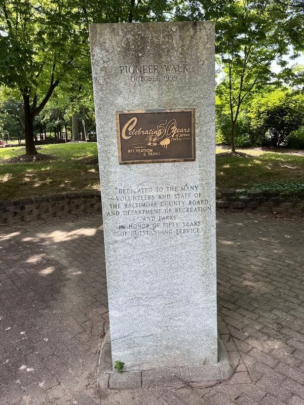
Dedicated to the many volunteers and staff of the Baltimore County Board and Department of Recreation and parks in honor of fifty years of outstanding service
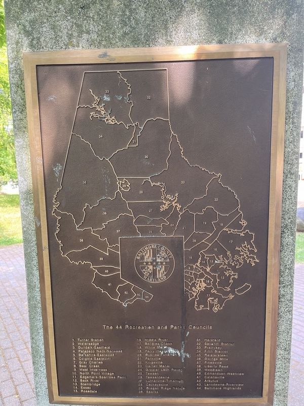
The 44 Recreation and Parks Councils 1. Turner Station
2. Watersedge
3. Dundalk-Eastfield
4. Patapsco Neck-Norwood
5. Berkshire-Eastwood
6. Colgate-Eastpoint
7. Gray Charles
8. Bear Creek
9. West Inverness
10. North Point Village
11. Edgemere-Sparrows Point
12. Back River
13. Stembridge
14. Essex
15. Rosedale
16. Middle River
17. Bengies-Chase
18. White Marsh
19. Perry Hall
20. Overlea-Fullerton
21. Parkville
22. Kingsville
23. Carroll Manor
24. Greater Loch Raven
25. Towson
26. Towsontowne
27. Lutherville-Timonium
28. Cockeysville
29. Oregon Ridge Nature
30. Sparks
31. Hereford
32. Seventh District
33. Prettyboy
34. Fifth District
35. Reisterstown
36. Owings Mills
37. PIkesville
38. Liberty Road
39. Woodlawn
40. Edmonson-Westview
41. Catonsville
42. Arbutus
43. Lansdowne-Riverview
44. Baltimore Highlands
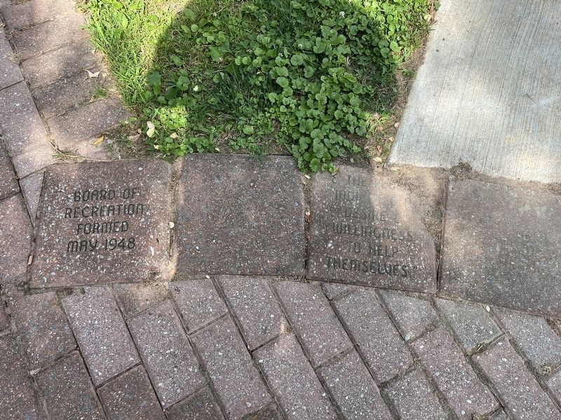
Board of Recreation formed May 1948 • "Ɛ The people indicated a desire Ɛ willingness to help themselves."
this page online
Towson Recreation Council serving Towson area residents since 1949 • Middle River Recreation Ɛ Parks Council providing "recreation for all" since 1953 • Celebrating Bengies-Chase Rec. Council programs Ɛ volunteers since 1978 • Baltimore Highlands Rec. Council 1st. President C.Z. Lohefer Jr. Founded 1954 • The Recreation Council of Owings Mills Md est. 1956 honor Betty Gusler Ɛ Ruth Leight • Parkville Recreation Council founded 1949 • The Greater Loch Raven Recreation Council est. 1949
Erected 1999
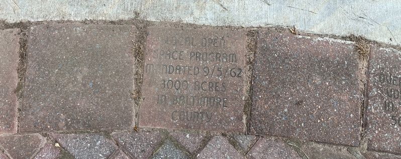
Topics. This historical marker is listed in this topic list: Parks & Recreational Areas. A significant historical date for this entry is September 5, 1962.
Location. 39° 23.903′ N, 76° 36.042′ W. Marker is in Towson, Maryland, in Baltimore County. It is in Loch Raven. It is at the intersection of Virginia Avenue and East Susquehanna Avenue, on the right when traveling south on Virginia Avenue. Touch for map. Marker is at or near this postal address: 28 E Susquehanna Ave, Towson MD 21286, United States of America. Touch for directions.

Regionally, this marker is in the Baltimore Metro Region and in Central Maryland. It is also in the American Mid-Atlantic, in the Chesapeake Bay Region, and on the Eastern Seaboard. Globally, it is in the North Atlantic Region, North America, the Western Hemisphere, the Western World, and the Anglosphere. Historically, it finds itself in what was once one of the original Thirteen Colonies and also the Antebellum South.
Other nearby markers. At least 8 other markers are within walking distance of this marker: Historic East Towson (within shouting distance
Credits. This page was last revised on June 23, 2024. It was originally submitted on June 23, 2024, by Devry Becker Jones of Washington, District of Columbia. This page has been viewed 226 times since then and 44 times this year. Photos: 1, 2, 3, 4, 5, 6. submitted on June 23, 2024, by Devry Becker Jones of Washington, District of Columbia.
