Near Schellbourne in White Pine County, Nevada — The American Mountains (Southwest)
Central Overland Trail - Rock Springs
Photographed by Jeremy Snow, June 23, 2024
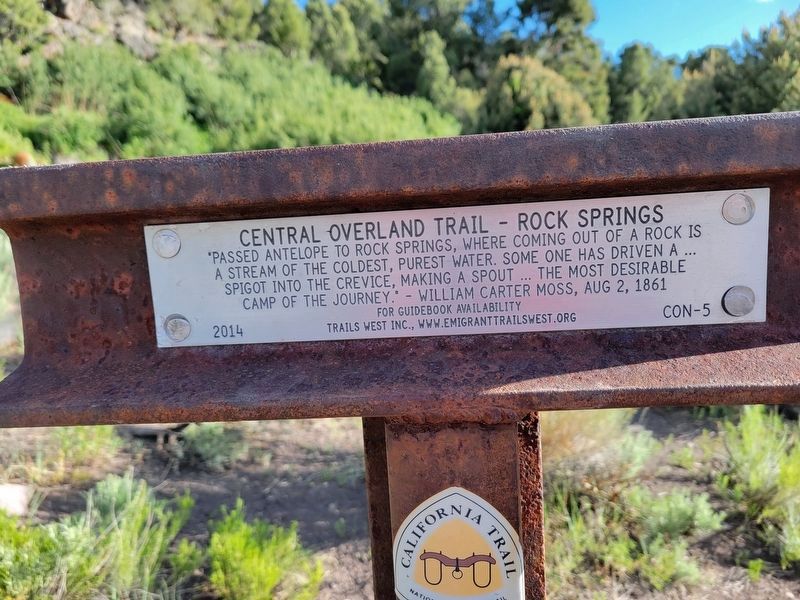
1. Central Overland Trail - Rock Springs Marker
Passed Antelope to Rock Springs, where coming out of a rock is a stream of the coldest, purest water. Some one has driven a spigot into the crevice, making a spout…the most desirable camp of the journey." - William Carter Moss, Aug 2, 1861
Erected 2014 by Trails West Inc. (Marker Number CON-5.)
Topics and series. This historical marker is listed in this topic list: Roads & Vehicles. In addition, it is included in the California Trail series list. A significant historical date for this entry is August 2, 1861.
Location. 39° 51.581′ N, 114° 28.316′ W. Marker is near Schellbourne, Nevada, in White Pine County. It is on an un-named road.. Touch for map. Marker is in this post office area: Ely NV 89301, United States of America. Touch for directions.

Regionally, this marker is in Central Nevada and in Elko Country. It is also in the American Mountain West. Globally, it is in North America, the Western Hemisphere, the Western World, and the Anglosphere. Historically, it finds itself in what was once New Spain and also Mexico’s Alta California.
this page online
Photographed by Jeremy Snow, June 23, 2024
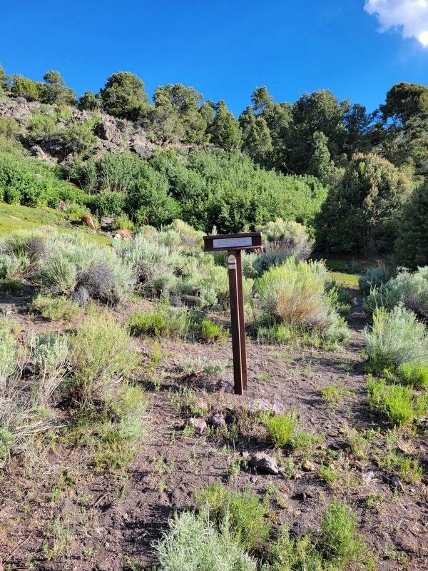
2. Central Overland Trail - Rock Springs Marker
Credits. This page was last revised on January 4, 2026. It was originally submitted on June 24, 2024, by Jeremy Snow of Cedar City, Utah. This page has been viewed 198 times since then and 22 times this year. Photos: 1, 2. submitted on June 24, 2024, by Jeremy Snow of Cedar City, Utah. • Andrew Ruppenstein was the editor who published this page.
