
Marker Logo
THE HISTORICAL
MARKER DATABASE
“Bite-Size Bits of Local, National, and Global History”
Jefferson City in Cole County, Missouri — The American Midwest (Upper Plains)
 

Adrian's Island

An Island Not Yet There
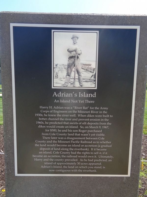
 
 
Adrian's Island Marker image. Click for full size.
Photographed by Jason Voigt, June 24, 2024
1. Adrian's Island Marker
Inscription. Harry H. Adrian was a "River Rat" for the Army Corps of Engineers on the Missouri River in the 1930s; he knew the river well. When dikes were built to better channel the river and prevent erosion in the 1960s, he predicted that swirls of silt deposits from the dikes would create an island. So, on March 9, 1967, for $500, he and his son Roger purchased from Cole County land that wasn't yet visible. There later was a disagreement between Cole County and the Missouri Pacific Railroad as to whether the land would become an island or accretion (a gradual deposit of land along the riverbank). If it became an island, Cole County had the rights to sell it; if it became an accretion, the railroad would own it. Ultimately, Harry and the county prevailed. As he had predicted, an island of approximately 30 acres appeared. Adrian's Island, the land on which you stand, is now contiguous with the riverbank.
 
Topics. This historical marker is listed in this topic list: Waterways & Vessels. A significant historical date for this entry is March 9, 1967.
 
Location. 38° 34.756′ N, 92° 10.092′ W. Marker is in Jefferson City, Missouri, in Cole County. It
Paid Advertisement
Click or scan to see
this page online
can be reached from West Capitol Avenue. Marker is at Deborah Cooper Park at Adrian's Island. To access the park, you must take the Missouri Bicentennial Bridge, which starts near the Veterans Memorial area. Touch for map. Marker is at or near this postal address: 130 W Capitol Ave, Jefferson City MO 65101, United States of America. Touch for directions.

Regionally, this marker is in the Missouri River Corridor. It is also in the American Midwest, in the Lewis & Clark Corridor, and in the Corn Belt. Globally, it is in North America, the Western Hemisphere, the Western World, and the Anglosphere. Historically, it finds itself in what was once the territory of the Mississippian Culture, the Louisiana Purchase, and the Antebellum South.

Other nearby markers. At least 8 other markers are within walking distance of this marker: The Gift (here, next to this marker); Lewis and Clark Expedition (about 500 feet away, measured in a direct line); Missouri Governor's Mansion (about 800 feet away); Missouri Petroleum Marketers and Convenience Store Association (approx. 0.2 miles away); The Corps of Discovery in the Jefferson City Area
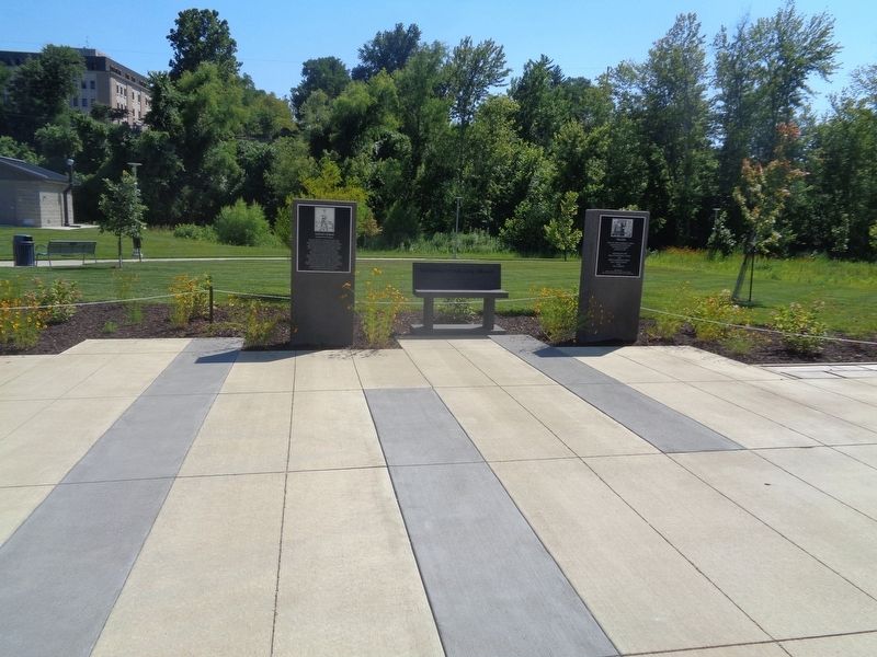
Adrian's Island Marker image. Click for full size.
Photographed by Jason Voigt, June 24, 2024
2. Adrian's Island Marker
Marker is at Deborah Cooper Park at Adrian's Island.
(approx. 0.2 miles away); The Missouri River Valley as a Transportation Corridor (approx. 0.2 miles away); Corps of Discovery (approx. 0.2 miles away); Jefferson City Greenway: (approx. 0.2 miles away). Touch for a list and map of all markers in Jefferson City.
 
 
Credits. This page was last revised on June 27, 2024. It was originally submitted on June 27, 2024, by Jason Voigt of Glen Carbon, Illinois. This page has been viewed 1,227 times since then and 112 times this year. Photos:   1, 2. submitted on June 27, 2024, by Jason Voigt of Glen Carbon, Illinois.

m=249661

CeraNet Cloud Computing sponsors the Historical Marker Database.
This website earns income from purchases you make after using our links to Amazon.com. We appreciate your support.
Paid Advertisement
Jul. 12, 2026
