French Quarter in New Orleans in Orleans Parish, Louisiana — The American South (West South Central)
Calle Real
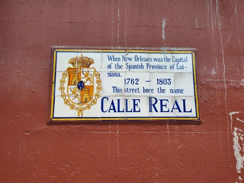
Photographed by Craig Doda, June 14, 2024
1. Calle Real Marker
1762 - 1803
This street bore the name Calle Real
Topics. This historical marker is listed in these topic lists: Notable Places • Roads & Vehicles. A significant historical year for this entry is 1762.
Location. 29° 57.535′ N, 90° 3.834′ W. Marker is in New Orleans, Louisiana, in Orleans Parish. It is in the French Quarter. It is on Royal Street north of Saint Ann Street, on the right when traveling east. Touch for map. Marker is at or near this postal address: 637 St Ann St, New Orleans LA 70116, United States of America. Touch for directions.

Regionally, this marker is in one of the River Parishes. It is also in the American South, specifically in the Deep South, on the Gulf Coast, and in the Great River Road Region. Globally, it is in North America, a Gulf of Mexico state, the Western Hemisphere, the Western World, and the Anglosphere. Historically, it finds itself in what was once New Spain, the Viceroyalty of New France, the territory of the Mississippian Culture, the Louisiana Purchase, one of the Confederate States of America,
this page online
Other nearby markers. At least 8 other markers are within walking distance of this marker: Calle de Santa Ana (a few steps from this marker); The Home of Mrs. Philip (Elizebeth) Werlin (within shouting distance of this marker); a different marker also named Calle Real (within shouting distance of this marker); Site of First Louisiana School (within shouting distance of this marker); Thomas Poree House (within shouting distance of this marker); Former site of Holy Family Sisters’ Convent (within shouting distance of this marker); Residence of Don Manuel Lanzos (about 300 feet away, measured in a direct line); a different marker also named Calle de Santa Ana (about 300 feet away). Touch for a list and map of all markers in New Orleans.
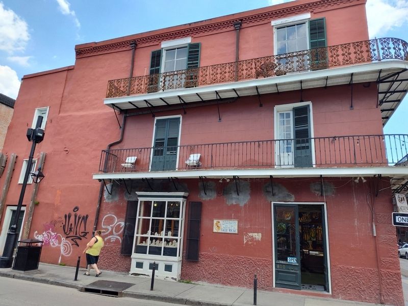
Photographed by Craig Doda, June 14, 2024
2. Calle Real Marker
Credits. This page was last revised on June 30, 2024. It was originally submitted on June 27, 2024, by Craig Doda of Napoleon, Ohio. This page has been viewed 160 times since then and 22 times this year. Photos: 1, 2. submitted on June 27, 2024, by Craig Doda of Napoleon, Ohio. • James Hulse was the editor who published this page.
