Manchester in Coffee County, Tennessee — The American South (East South Central)
Old Stone Fort
Photographed by Tom Gillard, November 29, 2009
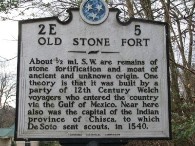
1. Old Stone Fort Marker
Erected by Tennessee Historical Commission. (Marker Number 2E 5.)
Topics and series. This historical marker is listed in these topic lists: Exploration • Forts and Castles • Indigenous Peoples and Communities. In addition, it is included in the Tennessee Historical Commission series list. A significant historical year for this entry is 1540.
Location. 35° 29.377′ N, 86° 5.7′ W. Marker is in Manchester, Tennessee, in Coffee County. It is on Murfreesboro Hwy (U.S. 41), on the left when traveling north. Touch for map. Marker is in this post office area: Manchester TN 37355, United States of America. Touch for directions.

Regionally, this marker is in Middle Tennessee and in the Highland Rim. It is also in the American South and specifically in the Upper South. Globally, it is in North America,
this page online
Other nearby markers. At least 8 other markers are within walking distance of this marker: Experiment in Armor (approx. 0.3 miles away); Manchester Powder Mill (approx. 0.4 miles away); “Jail Hill” (approx. half a mile away); Geographic Setting of The Old Stone Fort (approx. half a mile away); Little Duck River Greenway Overlook (approx. half a mile away); a different marker also named The Old Stone Fort (approx. half a mile away); a different marker also named Old Stone Fort (approx. half a mile away); The Eastern "Gateway" (approx. 0.6 miles away). Touch for a list and map of all markers in Manchester.
Also see . . . Old Stone Fort. (Submitted on November 29, 2009, by Tom Gillard of Tullahoma, Tennessee.)
Photographed by Tom Gillard, November 29, 2009
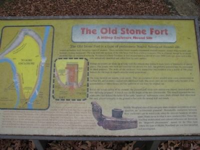
2. Mound Site explanation
Photographed by Tom Gillard, November 29, 2009
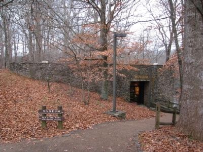
3. Old Stone Fort Museum
Coordinates: N35 29.169 W86 06.159
Photographed by Tom Gillard, November 29, 2009
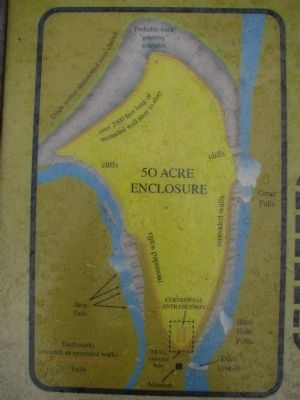
4. Old Stone Fort enclosure detail
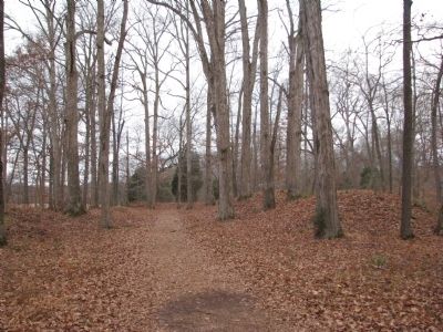
Photographed by Tom Gillard, November 29, 2009
5. Old Stone Fort Walls
This is the entrance to the 50 acre field
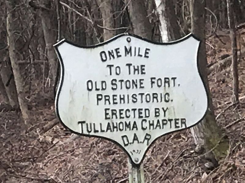
Photographed by Duane and Tracy Marsteller, February 13, 2021
6. Secondary Old Stone Fort Marker
Located on Murfreesboro Highway (U.S. 41) near Country Club Drive.
Credits. This page was last revised on February 18, 2021. It was originally submitted on November 29, 2009, by Tom Gillard of Tullahoma, Tennessee. This page has been viewed 2,046 times since then and 36 times this year. Photos: 1, 2, 3, 4, 5. submitted on November 29, 2009, by Tom Gillard of Tullahoma, Tennessee. 6. submitted on February 15, 2021, by Duane and Tracy Marsteller of Murfreesboro, Tennessee. • Kevin W. was the editor who published this page.
