Near Columbia in Boone County, Missouri — The American Midwest (Upper Plains)
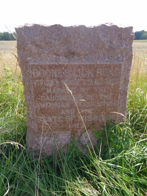
Vivion's Stage Stand - 1827
Boone's Lick Road
Photographed by Jason Voigt, June 25, 2024
1. Vivion's Stage Stand - 1827 Marker
Marked by the
Daughters of the
American Revolution
and the
State of Missouri
Erected 1913 by Daughters of the American Revolution and the State of Missouri.
Topics and series. This historical marker is listed in this topic list: Roads & Vehicles. In addition, it is included in the Daughters of the American Revolution (DAR) series list.
Location. 38° 54.801′ N, 92° 9.796′ W. Marker is near Columbia, Missouri, in Boone County. It is on Missouri Route WW, on the right when traveling east. Touch for map. Marker is at or near this postal address: 11395 State Hwy WW, Columbia MO 65201, United States of America. Touch for directions.

Regionally, this marker is in Little Dixie and in the Missouri River Corridor. It is also in the American Midwest, in the Lewis & Clark Corridor, and in the Corn Belt. Globally, it is in North America, the Western Hemisphere, the Western World, and the Anglosphere. Historically, it finds itself in what was once the territory of the Mississippian Culture, the Louisiana Purchase, and the Antebellum South.
Other nearby markers. At
this page online
Regarding Vivion's Stage Stand - 1827. Marker was placed on what what once property owned by John G. Vivion in 1825, according to the Boone's Lick Road Association website.
Also see . . . Boone's Lick Road Association. (Submitted on July 2, 2024, by Jason Voigt of Glen Carbon, Illinois.)
Photographed by Jason Voigt, June 25, 2024
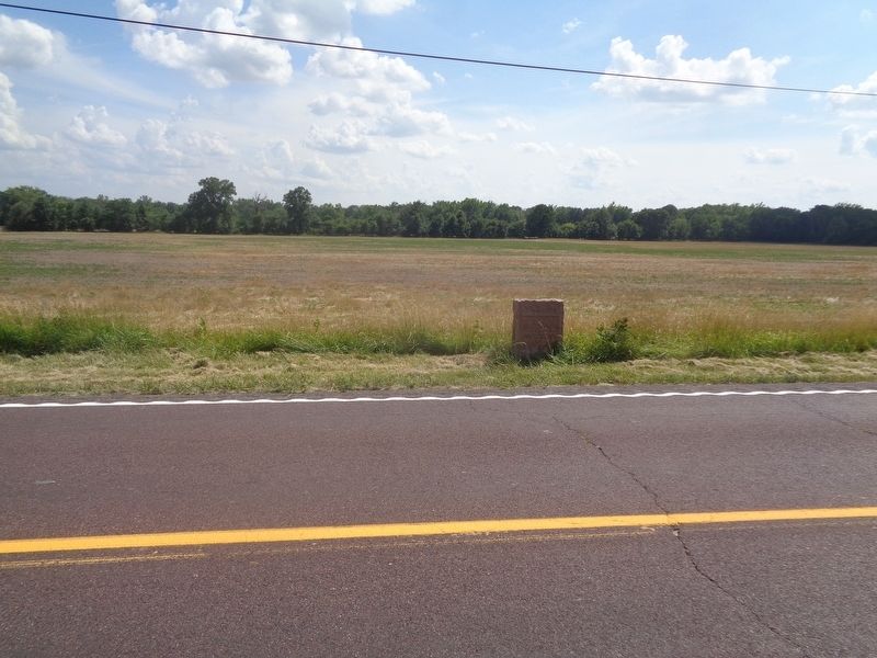
2. Vivion's Stage Stand - 1827 Marker
Photographed by Jason Voigt, June 25, 2024
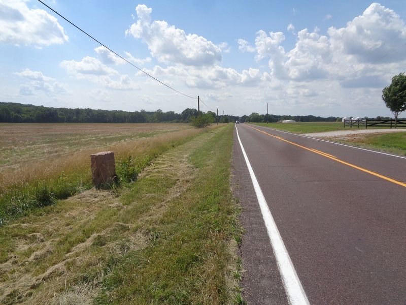
3. Vivion's Stage Stand - 1827 Marker
Looking west on Highway WW
Credits. This page was last revised on February 23, 2026. It was originally submitted on July 2, 2024, by Jason Voigt of Glen Carbon, Illinois. This page has been viewed 211 times since then and 23 times this year. Photos: 1, 2, 3. submitted on July 2, 2024, by Jason Voigt of Glen Carbon, Illinois.
