Hurricane in Washington County, Utah — The American Mountains (Southwest)
Dixie Sorghum (Molasses) Mill
Photographed by Jeremy Snow, June 28, 2024
1. Dixie Sorghum (Molasses) Mill Marker
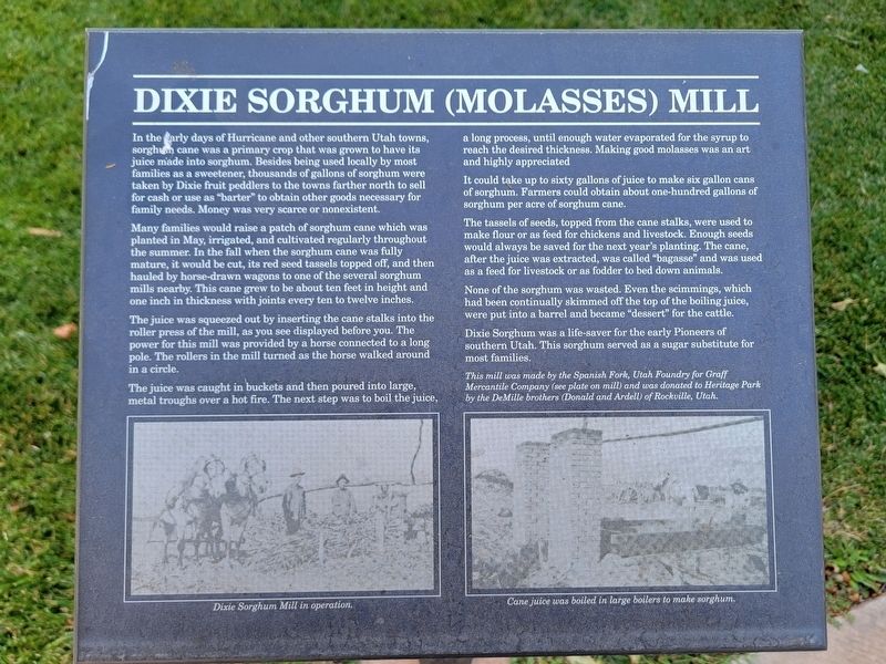
Many families would raise a patch of sorghum cane which was planted in May, irrigated, and cultivated regularly throughout the summer. In the fall when the sorghum cane was fully mature, it would be cut, its red seed tassels topped off, and then hauled by horse-drawn wagons to one of the several sorghum mills nearby. This cane grew to be about ten feet in height and one inch in thickness with joints every ten to twelve inches.
The juice was squeezed out by inserting the cane stalks into the roller press of the mill, as you see displayed before you. The power for this mill was provided by a horse connected to a long pole. The rollers in the mill turned as the horse walked around in a circle.
The
this page online
It could take up to sixty gallons of juice to make six gallon cans of sorghum. Farmers could obtain about one-hundred gallons of sorghum per acre of sorghum cane.
The tassels of seeds, topped from the cane stalks, were used to make flour or as feed for chickens and livestock. Enough seeds would always be saved for the next year's planting. The cane, after the juice was extracted, was called "bagasse" and was used as a feed for livestock or as fodder to bed down animals.
None of the sorghum was wasted. Even the scimmings, which had been continually skimmed off the top of the boiling juice, were put into a barrel and became "dessert" for the cattle.
Dixie Sorghum was a life-saver for the early Pioneers of southern Utah. This sorghum served as a sugar substitute for most families.
This mill was made by the Spanish Fork, Utah Foundry for Graff Mercantile

Photographed by Jeremy Snow, June 28, 2024
2. Dixie Sorghum (Molasses) Mill Marker
(photo caption) Dixie Sorghum Mill in operation. (photo caption) Cane juice was boiled in large boilers to make sorghum
Topics. This historical marker is listed in these topic lists: Agriculture • Industry & Commerce.
Location. 37° 10.519′ N, 113° 17.258′ W. Marker is in Hurricane, Utah, in Washington County. It can be reached from Main Street. The marker is on the grounds of the Pioneer Corner Museum. Touch for map. Marker is at or near this postal address: 95 Main Street, Hurricane UT 84737, United States of America. Touch for directions.

Regionally, this marker is in Color Country. It is also in the American Southwest, in the Mountain West, and on the Colorado Plateau. Globally, it is in North America, the Rocky Mountains, the Western Hemisphere, the Western World, and the Anglosphere. Historically, it finds itself in what was once New Spain and also Mexico’s Alta California.
Other nearby markers. At least 8 other markers are within walking distance of this marker: Grain Reaper (here, next to this marker); Shetlar Wagon (a few steps from this marker); Spencer and Helen Isom "Home" (a few steps from this marker); Pioneer Doctor's Office (a few steps from this marker); Bradshaw House/Hotel (a few steps from this marker); Pioneer Hay Barn, Manger, and Corral (within shouting distance of this marker); Threshing Machine (within shouting distance of this marker); Early Pioneer Granary and Home (within shouting distance of this marker). Touch for a list and map of all markers in Hurricane.
Credits. This page was last revised on July 3, 2024. It was originally submitted on July 2, 2024, by Jeremy Snow of Cedar City, Utah. This page has been viewed 486 times since then and 59 times this year. Photos: 1, 2. submitted on July 2, 2024, by Jeremy Snow of Cedar City, Utah. • Andrew Ruppenstein was the editor who published this page.
