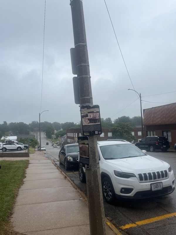
Salem in Dent County, Missouri — The American Midwest (Upper Plains)
City of Salem Administrative Offices - Block 2
—
Salem's Historical Walking Tour
—
Photographed by Thomas Smith
1. City of Salem Administrative offices Marker
Inscription.
On this site during the Civil War a brick building was being erected, but was confiscated by the Union Forces. It was torn down to one level and converted to a Federal Fort during the Civil War, under the command of Colonel Moses Whybark. It was visited by General Sherman and General Phil Sheridan, it also had an underground prison. The fort burned, and later, Louis Hoffmeister built a frame building on this site, which also burned. T. J. Lewis built a store on this site and it also burned. E. B. and F W. Smith bought the land and built a wagon shop. They sold it to C. J. McMurtrey and M. L. Clark, who ran the Salem Roller Mill in it. The Salem Roller Mill was destroyed by fire. Ken and Olive Mae Preston had a theater built on this site, which opened in 1941 and closed in the early 1960's. It was vacant until the late 1980's. The property was then purchased by Ozark Rivers Savings and Loan Association. The building was torn down by Apperson Excavating and Bill Jadwin. The Ozark Rivers Savings and Loan hired Gromer Construction to build a new facility in November, 1987. They eventually transitioned into Progressive Ozark
Click or scan to see this page online
Bank, and occupied this building until 2000. The City of Salem purchased the property in April, 2001, and moved the city offices to this location, where they remain today.
Location. 37° 38.729′ N, 91° 32.107′ W. Marker is in Salem, Missouri, in Dent County. It is at the intersection of North Iron Street and East Fourth Street, on the right when traveling north on North Iron Street. Touch for map. Marker is at or near this postal address: 400 N Iron St, Salem MO 65560, United States of America. Touch for directions.
Regionally, this marker is in South-Central Missouri. It is also in the American Ozarks, in the Lewis & Clark Corridor, and in the Corn Belt. Globally, it is in North America, the Western Hemisphere, the Western World, and the Anglosphere. Historically, it finds itself in what was once the territory of the Mississippian Culture, the Louisiana Purchase, and the Antebellum South.
Credits. This page was last revised on July 3, 2024. It was originally submitted on July 2, 2024, by Thomas Smith of Waterloo, Ill. This page has been viewed 148 times since then and 21 times this year. Photos:1, 2. submitted on July 2, 2024, by Thomas Smith of Waterloo, Ill. • Bernard Fisher was the editor who published this page.