Madison Township near Ashville in Pickaway County, Ohio — The American Midwest (Great Lakes)
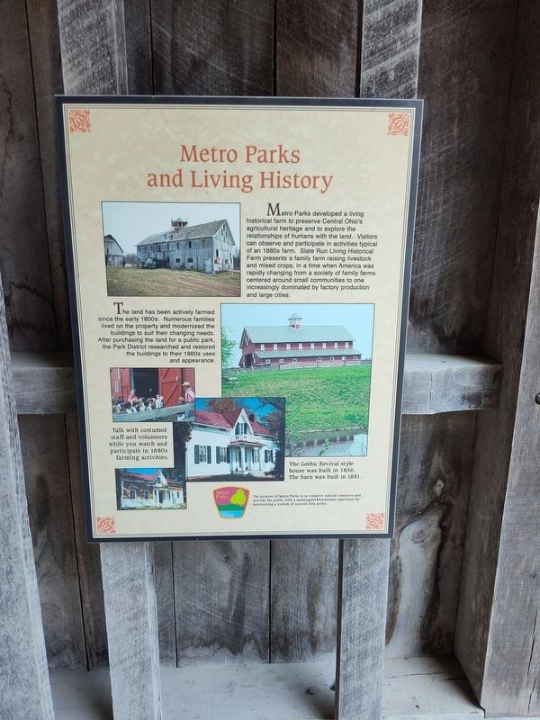
Metro Parks and Living History
Photographed by Craig Doda, June 22, 2024
1. Metro Parks and Living History Marker
The land has been actively farmed since the early 1800s. Numerous families lived on the property and modernized the buildings to suit their changing needs. After purchasing the land for a public park, the Park District researched and restored the buildings to their 1880s uses and appearance.
Photo Captions:
The Gothic Revival style house was built in 1856. The barn was built in 1881.
Erected by Metro Parks.
Topics. This historical marker is listed in this topic list: Agriculture. A significant historical year for this entry is 1856.
Location. 39° 45.227′ N, 82° 50.854′ W. Marker is near Ashville, Ohio, in Pickaway County.
this page online

Regionally, this marker is in the Scioto Valley and in the Columbus Metropolitan Area. It is also in the American Midwest and in the Corn Belt. Globally, it is in North America, the Western Hemisphere, the Western World, and the Anglosphere. Historically, it finds itself in what was once the Haudenosaunee (Iroquois) Confederacy, the territory of the Mississippian Culture, and the Northwest Territory.
Other nearby markers. At least 8 other markers are within 2 miles of this marker, measured as the crow flies: Compare 1880s Farm and Family Life With Yours (here, next to this marker); Community Ties (here, next to this marker); Changes for a Better Life (here, next to this marker); Timber Farming (here, next to this marker); Slate Run, Ohio & US Events (here, next to this marker); Blackburn / Wesner Bridge (approx. 0.6 miles away); a different marker also named Blackburn / Wesner Bridge (approx.
Photographed by Craig Doda, June 22, 2024
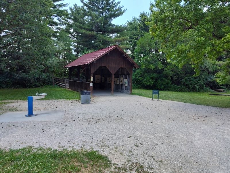
2. Metro Parks and Living History Kiosk
Photographed by Craig Doda, June 22, 2024
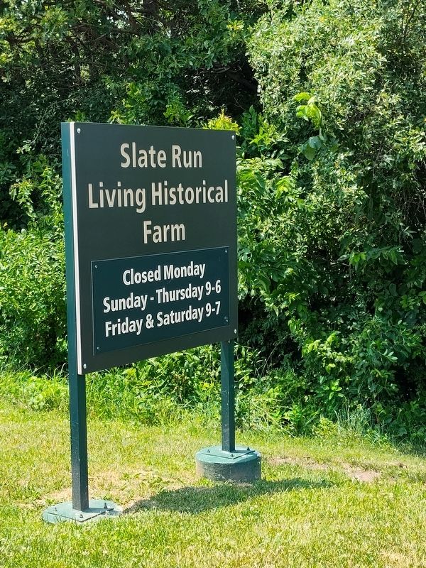
3. Slate Run Living Historical Farm Sign
Photographed by Craig Doda, June 22, 2024
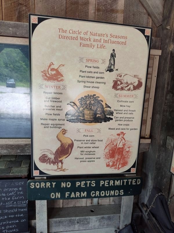
4. The Circle of Nature's Seasons Sign
Credits. This page was last revised on July 9, 2024. It was originally submitted on July 3, 2024, by Craig Doda of Napoleon, Ohio. This page has been viewed 137 times since then and 14 times this year. Photos: 1, 2, 3, 4. submitted on July 3, 2024, by Craig Doda of Napoleon, Ohio. • J. Makali Bruton was the editor who published this page.
