
Madison Township near Ashville in Pickaway County, Ohio — The American Midwest (Great Lakes)
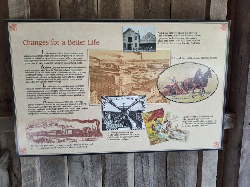
Changes for a Better Life
Photographed by Craig Doda, June 22, 2024
1. Changes for a Better Life Marker
After the Civil War, technological improvements and a less costly labor force let American industry manufacture consumer goods that eased the workload and contributed to a more comfortable lifestyle. Newspaper and magazine advertisements along with colorful trade cards attracted families to these products. Families could easily purchase factory-produced goods at area stores and through mail-order catalogs.
Local families depended on area merchants for items not raised on the farm including coffee, spices, tea, and foods produced more economically elsewhere and shipped. Meal preparation became easier and the diet less monotonous with the availability of luxury items such as canned fruits and vegetables, oysters and tinned meats.
Advances in transportation and technology allowed farmers to sell their excess crops and livestock
this page online
Photo Captions:
The railroad gave farmers a way to market their products, and to receive merchandise and equipment cheaply and easily.
Ambitious farmers, seeking to improve their business, purchased the most modern equipment and agricultural implements from area manufacturers as well as local distributors of national brands. Circleville
McCormick Harvesting Machine Company, Chicago
A seemingly endless variety of goods were available in local stores and through the growing business of mail-order catalogs.
Lured by colorful trade cards and advertising in newspapers and magazines, families bought goods that promised to be the best and cheapest, as well as to make life easier.
Erected by Metro Parks.
Topics. This historical marker is listed in these topic lists: Agriculture • Industry & Commerce.
Location. 39° 45.225′ N, 82° 50.856′ W.
Photographed by Craig Doda, June 22, 2024
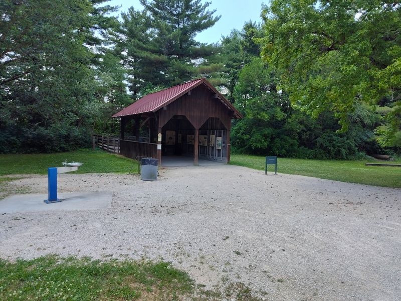
2. Metro Parks and Living History Kiosk

Regionally, this marker is in the Scioto Valley and in the Columbus Metropolitan Area. It is also in the American Midwest and in the Corn Belt. Globally, it is in North America, the Western Hemisphere, the Western World, and the Anglosphere. Historically, it finds itself in what was once the Haudenosaunee (Iroquois) Confederacy, the territory of the Mississippian Culture, and the Northwest Territory.
Other nearby markers. At least 8 other markers are within 2 miles of this marker, measured as the crow flies: Community Ties (here, next to this marker); Timber Farming (here, next to this marker); Compare 1880s Farm and Family Life With Yours (here, next to this marker); Metro Parks and Living History (here, next to this marker); Slate Run, Ohio & US Events (here, next to this marker); Blackburn / Wesner Bridge (approx. 0.6 miles away); a different
Photographed by Craig Doda, June 22, 2024
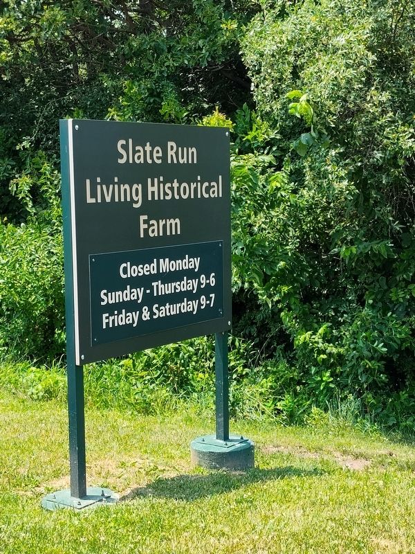
3. Slate Run Living Historical Farm Sign
Credits. This page was last revised on July 9, 2024. It was originally submitted on July 3, 2024, by Craig Doda of Napoleon, Ohio. This page has been viewed 149 times since then and 15 times this year. Photos: 1, 2, 3. submitted on July 3, 2024, by Craig Doda of Napoleon, Ohio. • J. Makali Bruton was the editor who published this page.
