Near Munfordville in Hart County, Kentucky — The American South (East South Central)
Fort Craig
Battle and Siege of Munfordville
| — | September 14-17, 1862 | — |
Photographed by Duane Hall, August 9, 2015
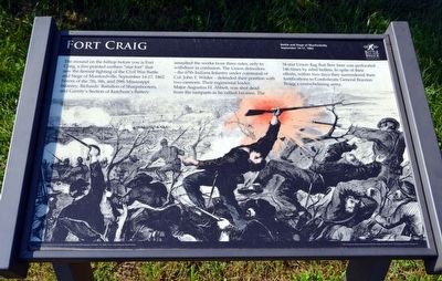
1. Fort Craig Marker
(caption) Wood engraving from Frank Leslie's Illustrated Newspaper, October 15, 1862, from a drawing by Henri Lovie.
Fort Craig has been preserved with the help of Green River Cemetery and Fort Craig, Inc.
Erected by Battle for the Bridge Historic Preserve.
Topics. This historical
this page online
Location. 37° 15.553′ N, 85° 53.321′ W. Marker is near Munfordville, Kentucky, in Hart County. It can be reached from Charlie Dowling Road 0.3 miles north of South Dixie Highway (U.S. 31W), on the left when traveling south. This marker is no longer accessible.. Touch for map. Marker is at or near this postal address: 370 Charlie Dowling Rd, Munfordville KY 42765, United States of America. Touch for directions.

Regionally, this marker is in Mammoth Cave Country and in the Pennyroyal Region. It is also in the American South and specifically in the Upper South. Globally, it is in North America, the Western Hemisphere, the Western World, and the Anglosphere. Historically, it finds itself in what was once the territory of the Mississippian Culture and also the Antebellum South.
Other nearby markers. At least 8 other markers are within walking distance of this marker: Battle of Munfordville (about 500 feet away, measured in a direct line); The Raider (about 700 feet away); L&N Railroad Bridge (about 700
Photographed by Duane Hall, August 9, 2015
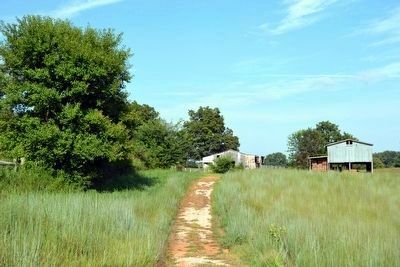
2. Battlefield Loop Trail to Stop 5
More about this marker. This marker is no longer accessible. It is on private property. Please do not attempt to access it without permission of the property owner. According to a Google Review by Patrica Chapman, "We drove out to the site and all that was there were signs saying 'trails closed'. The stands where you would normally find information and maps were empty and behind a fence with a 'no trespassing' sign."
Also see . . . Battle for the Bridge Historic Preserve. Official website of the preserve. (Submitted on September 9, 2015.)
Photographed by Lee Hattabaugh, April 6, 2011
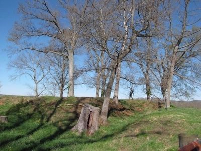
3. Battle of Munfordville Marker
Photo courtesy of Contributor Lee Hattabaugh from previous visit
Photographed by Duane Hall, August 9, 2015
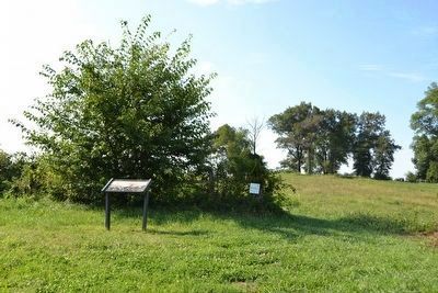
4. Fort Craig Marker
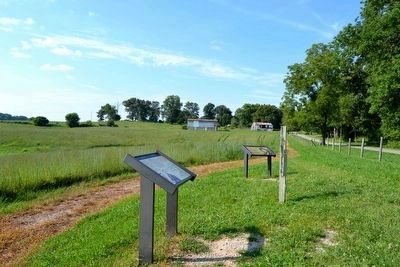
Photographed by Duane Hall, August 9, 2015
5. Fort Craig as viewed from Trailhead
Fort Craig in left center background
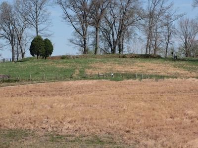
Photographed by Lee Hattabaugh, April 6, 2011
6. Marker and Fort Craig
Photo courtesy of Contributor Lee Hattabaugh from previous visit
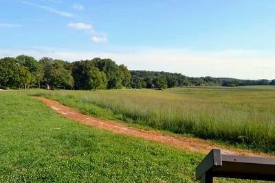
Photographed by Duane Hall, August 9, 2015
7. Battlefield Loop Trail Headed Towards Trailhead
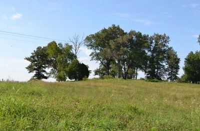
Photographed by Duane Hall, August 9, 2015
8. Fort Craig
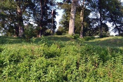
Photographed by Duane Hall, August 9, 2015
9. Walls of Fort Craig
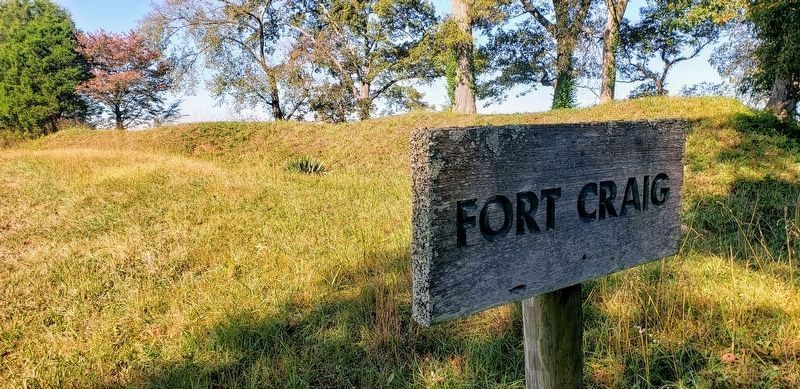
Photographed by Bradley Owen, October 13, 2019
10. Fort Craig
Credits. This page was last revised on July 4, 2024. It was originally submitted on September 9, 2015, by Duane Hall of Abilene, Texas. This page has been viewed 2,311 times since then and 99 times this year. Last updated on July 3, 2024. Photos: 1, 2. submitted on September 9, 2015, by Duane Hall of Abilene, Texas. 3. submitted on April 20, 2011, by Lee Hattabaugh of Capshaw, Alabama. 4, 5. submitted on September 9, 2015, by Duane Hall of Abilene, Texas. 6. submitted on April 20, 2011, by Lee Hattabaugh of Capshaw, Alabama. 7, 8, 9. submitted on September 9, 2015, by Duane Hall of Abilene, Texas. 10. submitted on July 8, 2020, by Bradley Owen of Morgantown, West Virginia. • Bernard Fisher was the editor who published this page.
