Near Munfordville in Hart County, Kentucky — The American South (East South Central)
Battle of Munfordville: Day 1
Battle and Siege of Munfordville
| — | Sunday, September 14, 1862 | — |
Photographed by Duane Hall, August 9, 2015
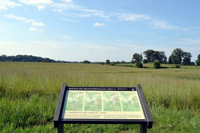
1. Battle of Munfordville: Day 1 Marker
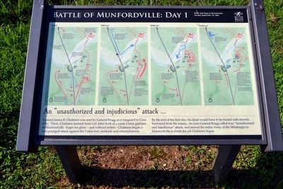
An “unauthorized and injudicious” attack …
General James R. Chalmers was sent by General Bragg as a vanguard to Cave City. There, Chalmers learned from Col. John Scott of a weak Union garrison at Munfordville. Eager for glory—and without orders—Chalmers began a two-pronged attack against the Union fort, stockade and entrenchments.
By the end of the first day, his dead would have to be buried with shovels borrowed from the enemy. An irate General Bragg called it an “unauthorized and injudicious” attack, and moved the entire Army of the Mississippi to Munfordville to finish the job Chalmers began.
Erected by Battle for the Bridge Historic Preserve.
Topics. This historical marker is listed in this topic list: War, US Civil. A significant historical date for this entry is September 14, 1862.
Location. 37° 15.406′ N, 85° 53.368′ W. Marker is near Munfordville, Kentucky, in Hart County. It can be reached from Charlie Dowling Road 0.3 miles north of South Dixie Highway (U.S. 31W), on the left when traveling north. This marker is no longer accessible.. Touch for map. Marker is in this post office area: Munfordville KY 42765, United
this page online

Regionally, this marker is in Mammoth Cave Country and in the Pennyroyal Region. It is also in the American South and specifically in the Upper South. Globally, it is in North America, the Western Hemisphere, the Western World, and the Anglosphere. Historically, it finds itself in what was once the territory of the Mississippian Culture and also the Antebellum South.
Other nearby markers. At least 8 other markers are within walking distance of this marker: Battle of Munfordville: Siege (about 500 feet away, measured in a direct line); Kentucky and the Western War (about 500 feet away); The Raider (about 500 feet away); Anthony Woodson Farm (about 500 feet away); The Woodson Farm/The Preserve (about 700 feet away); L&N Railroad Bridge (approx. 0.2 miles away); Fort Craig (approx. 0.2 miles away); Battle of Munfordville (approx. ¼ mile away). Touch for a list and map of all markers in Munfordville.
More about this marker. This marker is no longer accessible. It is on private property. Please do not attempt to access it without permission of the property owner. According to a
Photographed by Duane Hall, August 9, 2015
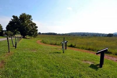
2. The Beginning of the Battlefield Loop Trail
Also see . . . Battle for the Bridge Historic Preserve. Official website of the preserve. (Submitted on September 6, 2015.)
Photographed by Duane Hall, August 9, 2015
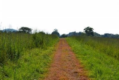
3. Battle of Munfordville: Day 1 Marker
on the Battlefield Loop Trail
on the Battlefield Loop Trail
at the top of the rise
Photographed by Duane Hall, August 9, 2015
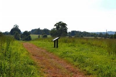
4. Battle of Munfordville: Day 1 Marker
Photographed by Duane Hall, August 9, 2015
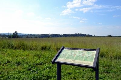
5. Fort Craig and the East End of the Union Line
Fort Craig is in the grove of trees to the right of the marker
Photographed by Duane Hall, August 9, 2015
6. West End of Union Line
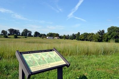
Photographed by Duane Hall, August 9, 2015
7. Fort Craig and the Confederate Right Flank
Fort Craig is in the grove of trees on the far left
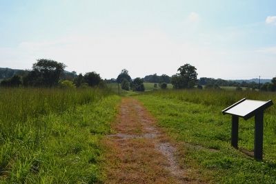
Photographed by Duane Hall, August 9, 2015
8. Battle Loop Trail Continuing to Stop 3
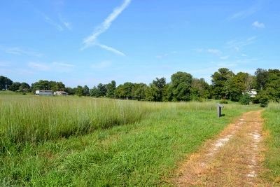
Photographed by Duane Hall, August 9, 2015
9. View to East from Battlefield Loop Trail
Credits. This page was last revised on July 5, 2024. It was originally submitted on September 6, 2015. This page has been viewed 1,496 times since then and 57 times this year. Last updated on July 3, 2024. Photos: 1, 2, 3, 4, 5, 6, 7, 8, 9. submitted on September 6, 2015, by Duane Hall of Abilene, Texas. • Bernard Fisher was the editor who published this page.
