Near Munfordville in Hart County, Kentucky — The American South (East South Central)
Anthony Woodson Farm
Battle of Munfordville
| — | September 14-17, 1862 | — |
Photographed by Lee Hattabaugh, January 25, 2011
1. Anthony Woodson Farm Marker
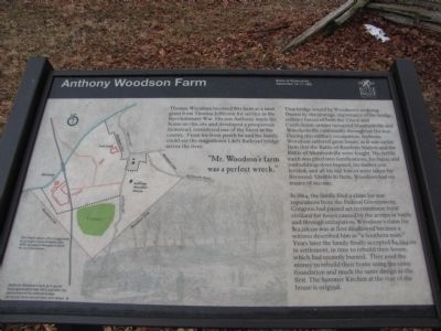
Thomas Woodson received this farm as a land grant from Thomas Jefferson for service in the Revolutionary War. His son Anthony made his home on this site and developed a prosperous farmstead, considered one of the finest in the county. From his front porch he and his family could see the magnificent L&N Railroad bridge across the river.
That bridge would be Woodson's undoing. Drawn by the strategic importance of the bridge, military forces of both the Union and Confederate armies occupied Munfordville and Woodsonville continually throughout the war. During this military occupation, Anthony Woodson suffered great losses, as it was on his farm that the Battle of Rowlett's Station and the Battle of Munfordville were fought. His fertile earth was piled into fortifications, his barns and outbuildings were burned, his timber was leveled, and all his rail fences were taken for firewood. Unable to farm, Woodson had no means of income.
In 1864, the family filed a claim for war reparations from the Federal Government. Congress had passed act to reimburse loyal civilians for losses caused by the armies in battle and through
this page online
"Mr. Woodson's farm was a perfect wreck."
(captions)
This map is drawn after a map made by surveyor Cyrus Edwards, circa 1870, to support Woodson's claim for war reparations.
Anthony Woodson's farm as it would have appeared in late 1861, just after the destruction of the railroad bridge. His fences have not yet been torn down.
Erected by Battle for the Bridge Historic Preserve.
Topics and series. This historical marker is listed in these topic lists: Horticulture & Forestry • Settlements & Settlers • War, US Civil. In addition, it is included in the Former U.S. Presidents: #03 Thomas Jefferson series list. A significant historical year for this entry is 1864.
Location. 37° 15.422′ N, 85° 53.257′ W. Marker is near
Photographed by Lee Hattabaugh, January 25, 2011
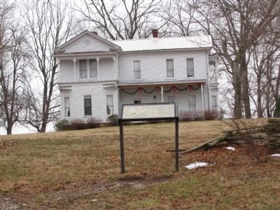
2. Anthony Woodson Farm Marker

Regionally, this marker is in Mammoth Cave Country and in the Pennyroyal Region. It is also in the American South and specifically in the Upper South. Globally, it is in North America, the Western Hemisphere, the Western World, and the Anglosphere. Historically, it finds itself in what was once the territory of the Mississippian Culture and also the Antebellum South.
Other nearby markers. At least 8 other markers are within walking distance of this marker: Kentucky and the Western War (within shouting distance of this marker); The Raider (within shouting distance of this marker); The Woodson Farm/The Preserve (within shouting distance of this marker); Battle of Munfordville: Day 1 (about 500 feet away, measured in a direct line); Fort Craig (approx. 0.2 miles away); Battle of Munfordville: Siege (approx. 0.2 miles away); L&N Railroad Bridge (approx. ¼ mile away); Battle of Munfordville
Photographed by Duane Hall, August 9, 2015
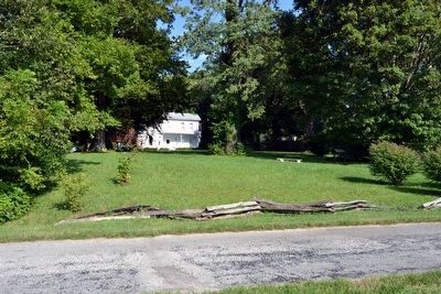
3. Anthony Woodson Farm
Marker is at center right in the image
Also see . . . Battle for the Bridge Historic Preserve. (Submitted on February 2, 2011, by Lee Hattabaugh of Capshaw, Alabama.)
Credits. This page was last revised on July 4, 2024. It was originally submitted on February 2, 2011. This page has been viewed 2,043 times since then and 52 times this year. Last updated on July 3, 2024. Photos: 1, 2. submitted on February 2, 2011, by Lee Hattabaugh of Capshaw, Alabama. 3. submitted on September 5, 2015, by Duane Hall of Abilene, Texas. • Bernard Fisher was the editor who published this page.
