Near Munfordville in Hart County, Kentucky — The American South (East South Central)
L&N Railroad Bridge
Constructed 1857-1859
Photographed by Duane Hall, August 9, 2015
1. L&N Railroad Bridge Marker
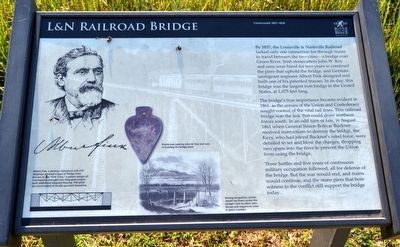
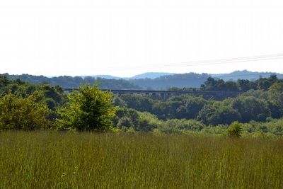
By 1857, the Louisville & Nashville Railroad lacked only one connection for through trains to travel between the two cities—a bridge over Green River. Irish stonecutters John W. Key and sons were hired for two years to construct the piers that uphold the bridge, and German immigrant engineer Albert Fink designed and built one of his patented trusses. In its day, this bridge was the largest iron bridge in the United States, at 1,075 feet long.
The bridge’s true importance became evident in 1861, as the armies of the Union and Confederacy sought control of the vital rail lines. This railroad bridge was the link that could draw northern forces south. In an odd turn of fate, in August 1861 when General Simon Bolivar Buckner received instructions to destroy the bridge, the Keys, who had joined Buckner’s rebel force, were detailed to set and blow the charges, dropping two spans into the river to prevent the Union from using the bridge.
Three battles and five years of continuous military occupation followed, all for defense of the bridge. But the war would end, and trains would continue, and the stone piers that bore witness
this page online
(captions)
Albert Fink, a German immigrant and civil engineer, devised a type of bridge truss known as the “Fink Truss,” a patent design of overlapping wrought-iron king-post trusses with additional diagonal bracing. The piers are constructed of locally quarried limestone.
Plumb-bob used by John W. Keys and sons in building the bridge piers.
During occupation, armies would lay floors across the bridge’s rails to allow men, horses and wagons to cross in great numbers.
Erected by Battle for the Bridge Historic Preserve.
Topics. This historical marker is listed in these topic lists: Bridges & Viaducts • Railroads & Streetcars • War, US Civil. A significant historical year for this entry is 1857.
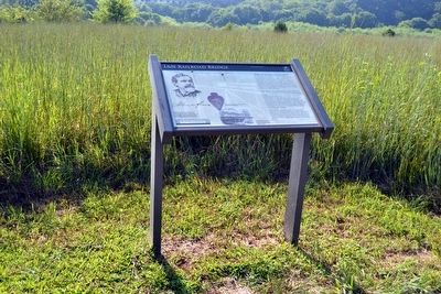
Location. 37° 15.519′ N, 85° 53.465′ W. Marker is near Munfordville, Kentucky, in Hart County. It can be reached from Charlie Dowling Road 0.3 miles north of South Dixie Highway (U.S. 31W), on the left when traveling north. This marker is no longer accessible.. Touch for map. Marker is at or near this postal address: 366 Charlie Dowling Rd, Munfordville KY 42765, United States
Photographed by Duane Hall, August 9, 2015
2. L&N Railroad Bridge Marker

Regionally, this marker is in Mammoth Cave Country and in the Pennyroyal Region. It is also in the American South and specifically in the Upper South. Globally, it is in North America, the Western Hemisphere, the Western World, and the Anglosphere. Historically, it finds itself in what was once the territory of the Mississippian Culture and also the Antebellum South.
Other nearby markers. At least 8 other markers are within walking distance of this marker: Battle of Munfordville: Siege (about 600 feet away, measured in a direct line); Fort Craig (about 700 feet away); Battle of Munfordville: Day 1 (approx. 0.2 miles away); Battle of Munfordville (approx. 0.2 miles away); The Raider (approx. 0.2 miles away); Kentucky and the Western War (approx. 0.2 miles away); Anthony Woodson Farm (approx. ¼ mile away); The Woodson Farm/The Preserve (approx. ¼ mile away). Touch for a list and map of all markers in Munfordville.
More about this marker. This marker is no longer accessible. It is on private property. Please do not attempt to access it without permission of the property owner. According
Photographed by Duane Hall, August 9, 2015
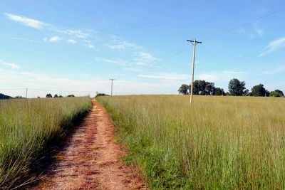
3. Battlefield Loop Trail between Stop 3 and Stop 4
is at top of the rise
Also see . . . Battle for the Bridge Historic Preserve. Official website for the preserve. (Submitted on September 8, 2015.)
Photographed by Duane Hall, August 9, 2015
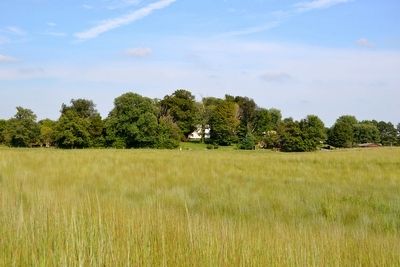
4. View to East from Battlefield Loop Trail
Photographed by Duane Hall, August 9, 2015
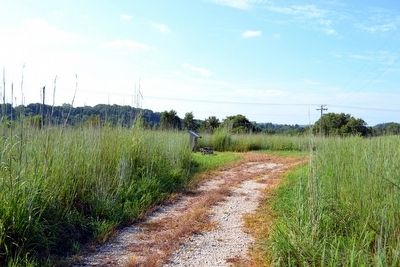
5. L&N Railroad Bridge Marker (Stop 4) at the Northwest Corner of the Battlefield Loop Trail
Photographed by Duane Hall, August 9, 2015
6. L&N Railroad Bridge as Viewed from Marker
Photographed by Duane Hall, August 9, 2015
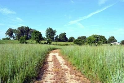
7. Continuing Along Battlefield Loop Trail to Stop 5
in the grove of trees on the left
Photographed by Duane Hall, August 9, 2015
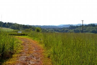
8. View to West from Battlefield Loop Trail
Credits. This page was last revised on July 4, 2024. It was originally submitted on September 8, 2015. This page has been viewed 1,418 times since then and 89 times this year. Last updated on July 3, 2024. Photos: 1, 2, 3, 4, 5, 6, 7, 8. submitted on September 8, 2015, by Duane Hall of Abilene, Texas. • Bernard Fisher was the editor who published this page.
