Cottonwood in Yavapai County, Arizona — The American Mountains (Southwest)
The Lime Kiln Historic Wagon Trail
Photographed by James Hulse, June 19, 2024
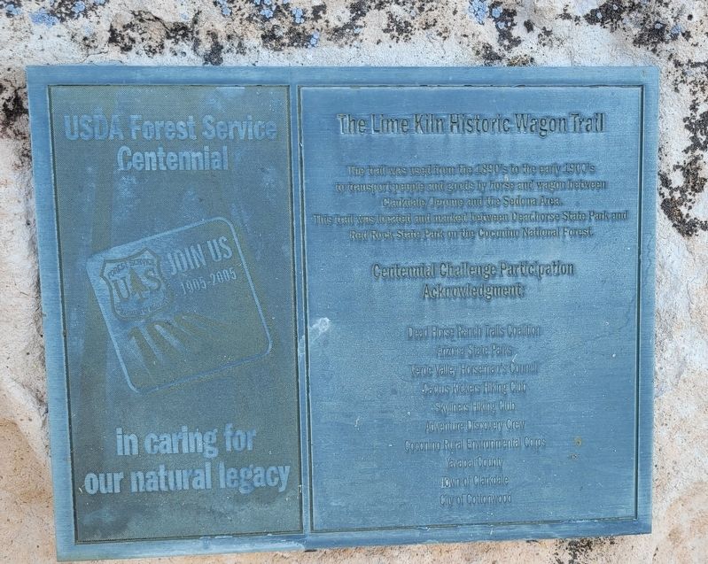
1. The Lime Kiln Historic Wagon Trail Marker
The trail was used from the 1890's to the early 1900's to transport people and goods by horse and wagon between Clarkdale, Jerome and the Sedona Area, This trail was located and marked between Deadhorse State Park and Red Rock State Park on the Coconino National Forest.
Centennial Challenge Participation Acknowledgment:
Dead Horse Ranch Trails Coalition • Enzona State Parks • Verde Valley Horseman's Council • Cactus Kickers Hiking Club • Skyliners Hiking Club • Adventure Discovery Crew • Coconino Rural Environmental Corps • Yavapal County • Town of Clarkdale • City of Cottonwood
Erected by U.S Forest Service.
Topics. This historical marker is listed in these topic lists: Industry & Commerce • Roads & Vehicles.
Location. 34° 45.236′ N, 112° 0.557′ W. Marker is in Cottonwood, Arizona, in Yavapai County. It is on Golden Eagle Road. The marker is located in the Dead Horse Ranch State Park. Touch for map. Marker is at or near this postal address: 1299 Golden Eagle Rd, Cottonwood AZ 86326, United States of America. Touch for directions.

Regionally, this
this page online
Other nearby markers. At least 8 other markers are within 2 miles of this marker, measured as the crow flies: The Hickey Ditch Diverts Water (approx. ¼ mile away); a different marker also named The Hickey Ditch Diverts Water (approx. 0.4 miles away); Caring for Traces of the Past (approx. 1.4 miles away); Clues From Life and Death (approx. 1.4 miles away); Clues in Architecture (approx. 1.4 miles away); Moving On (approx. 1.4 miles away); An Evolving Village (approx. 1.4 miles away); Rocks, Rituals, and Resources (approx. 1½ miles away). Touch for a list and map of all markers in Cottonwood.
Photographed by James Hulse, June 19, 2024
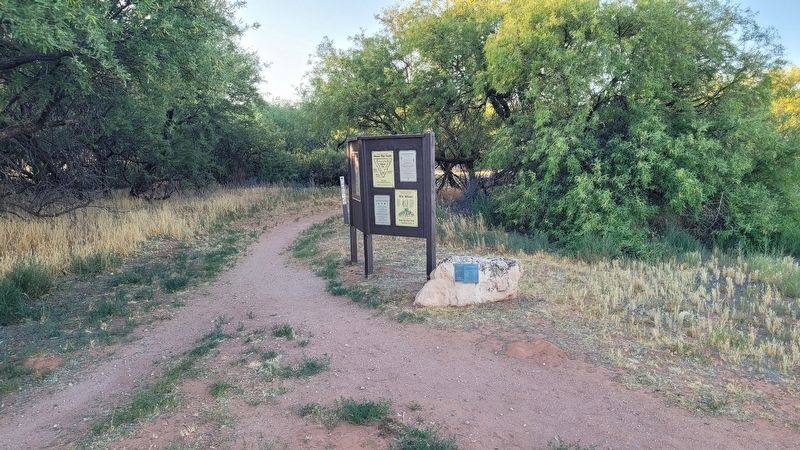
2. The Marker at the trail head
Photographed by James Hulse, June 19, 2024
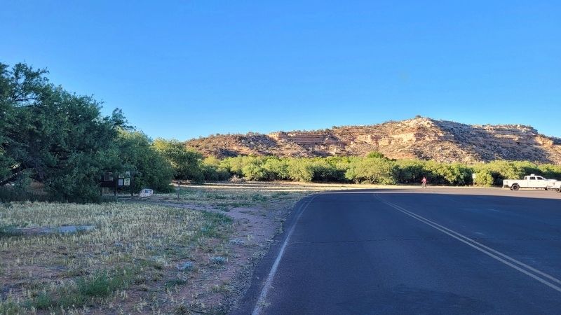
3. The view of the Marker along the street
Credits. This page was last revised on July 6, 2024. It was originally submitted on July 3, 2024, by James Hulse of Medina, Texas. This page has been viewed 207 times since then and 35 times this year. Photos: 1, 2, 3. submitted on July 4, 2024, by James Hulse of Medina, Texas.
