Downtown Los Angeles in Los Angeles County, California — The American West (Pacific Coastal)
Settlement of a City
The Los Angeles River
| — | La Placita Church | — |
Photographed by Craig Baker, September 10, 2023
1. Settlement of a City Marker
The Los Angeles River
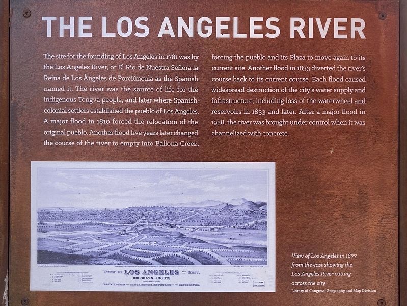
The site for the founding of Los Angeles in 1781 was by the Los Angeles River, or El Río de Nuestra Señora la Reina de Los Ángeles de Porciúncula as the Spanish named it. The river was the source of life for the indigenous Tongva people, and later where Spanish- colonial settlers established the pueblo of Los Angeles. A major flood in 1810 forced the relocation of the original pueblo. Another flood five years later changed the course of the river to empty into Ballona Creek, forcing the pueblo and its Plaza to move again to its current site. Another flood in 1833 diverted the river's course back to its current course. Each flood caused widespread destruction of the city's water supply and infrastructure, including loss of the waterwheel and reservoirs in 1833 and later. After a major flood in 1938, the river was brought under control when it was channelized with concrete.
Settlement of a City
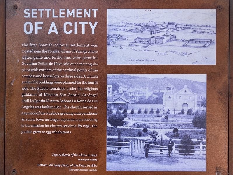
The first Spanish-colonial settlement was located near the Tongva village of Yaanga where water, game and fertile land were plentiful. Governor Felipe de Neve laid
this page online
La Placita Church & Cemetery
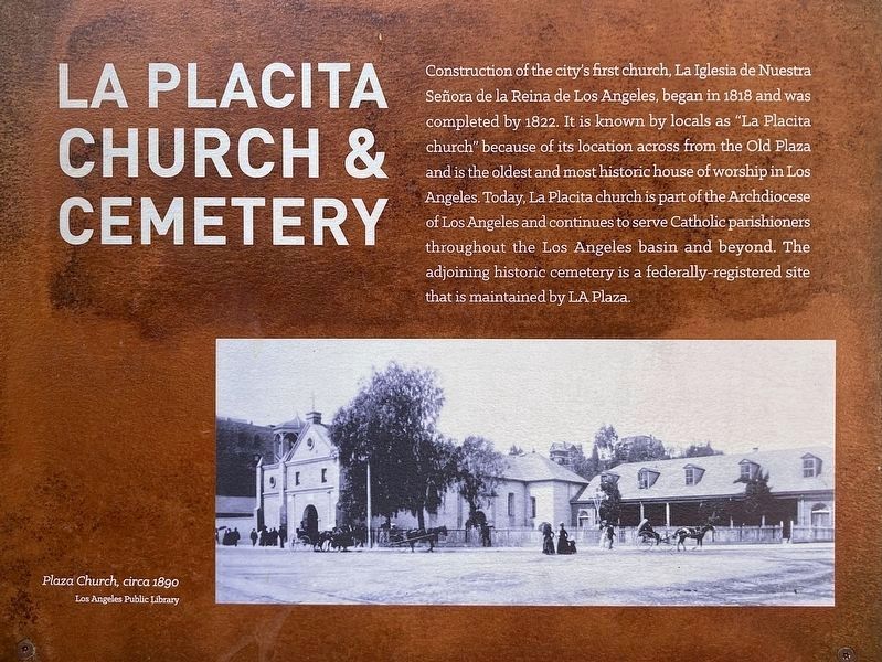
Construction of the city's first church, La Iglesia de Nuestra Señora de la Reina de Los Angeles, began in 1818 and was completed by 1822. It is known by locals as "La Placita church" because of its location across from the Old Plaza and is the oldest and most historic house of worship in Los Angeles. Today, La Placita church is part of the Archdiocese of Los Angeles and continues to serve Catholic parishioners throughout the Los Angeles basin and beyond. The adjoining historic cemetery is a federally-registered site that is maintained by LA Plaza.
Erected by County
Photographed by Craig Baker, September 10, 2023
2. Settlement of a City Marker
Topics. This historical marker is listed in these topic lists: Hispanic Americans • Settlements & Settlers.
Location. 34° 3.407′ N, 118° 14.378′ W. Marker is in Los Angeles, California, in Los Angeles County. It is in Downtown Los Angeles. It can be reached from Main Street north of the Hollywood Freeway (U.S. 101), on the left when traveling north. Touch for map. Marker is at or near this postal address: 513 N Main St, Los Angeles CA 90012, United States of America. Touch for directions.

Regionally, this marker is in the Transverse Ranges. It is also on the American Pacific Coast. Globally, it is in North America, on the Ring of Fire, on the Pacific Rim, in the Western Hemisphere, in the Western World, and in the Anglosphere. Historically, it finds itself in what was once New Spain and also Mexico’s Alta California.
Other nearby markers. At least 8 other markers are within walking distance of this marker: Los Angeles Under Spanish Rule (here, next to this marker); Land of the Tongva (here, next to this marker); The Aliso Tree (here, next to this
Photographed by Craig Baker, September 10, 2023
3. Settlement of a City Marker
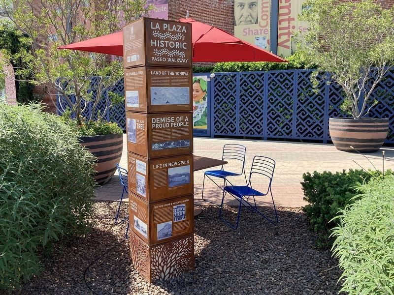
More about this marker. This marker has a dozen panels about local history, in random order. See nearby markers for more.
Photographed by Craig Baker, September 10, 2023
4. Settlement of a City Marker
Credits. This page was last revised on July 4, 2024. It was originally submitted on July 4, 2024, by Craig Baker of Sylmar, California. This page has been viewed 258 times since then and 37 times this year. Photos: 1, 2, 3, 4. submitted on July 4, 2024, by Craig Baker of Sylmar, California.
