
Brookview Civic in Fort Wayne in Allen County, Indiana — The American Midwest (Great Lakes)
Practical Planning: Arthur Shurcliff

Photographed by Duane and Tracy Marsteller, June 14, 2024
1. Practical Planning: Arthur Shurcliff Marker
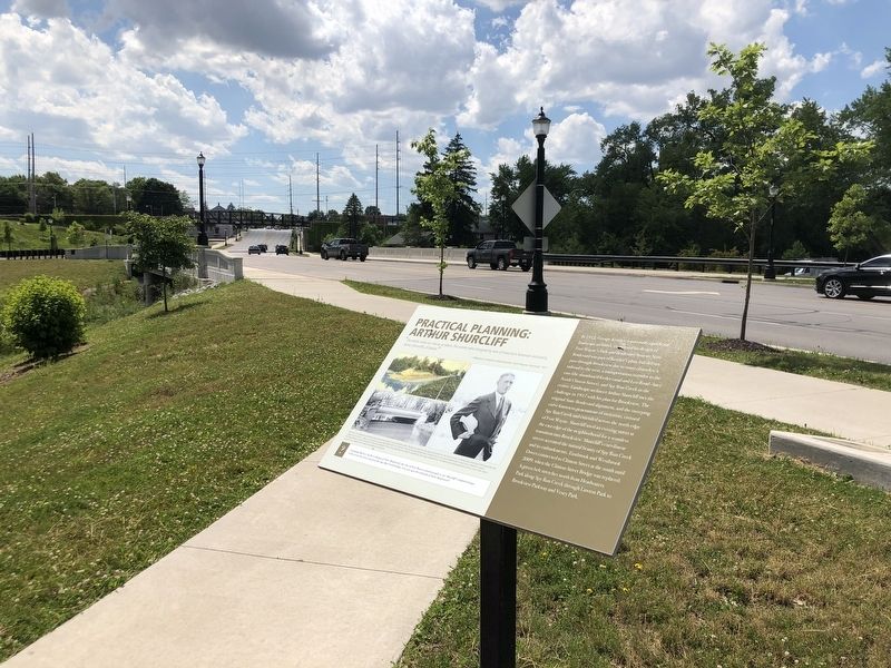
In 1912, George Kessler, a nationally significant landscape architect, completed his design of Fort Wayne's Park and Boulevard System. State Boulevard was part of Kessler's plan, but did not pass through Brookview due to many obstacles: a railroad to the west, a transportation corridor to the cast (the abandoned feeder canal and Leo Road – later North Clinton Street), and Spy Run Creek in the center. Landscape architect Arthur Shurcliff met the challenge in 1917 with his plan for Brookview. The original State Boulevard alignment, and the sweeping curve known to generations of motorists, crossed Spy Run Creek and extended across the north edge of Fort Wayne. Shurcliff used an existing street at the east edge of the neighborhood for a seamless transition into Brookview. Shurcliff's curvilinear streets accented the natural beauty of Spy Run Creek and its embankments. Eastbrook and Westbrook Drives connected
this page online
[Captions]
Top left: The remnants and resulting land-use influences of this feeder canal presented a design challenge for Shurcliff on the east side of Brookview, although the canal was no longer in use after c. 1880 (ACPL Community Album)
Bottom left: The historic State Boulevard bridge was constructed in 1927 and demolished in 2020 (ACPL Community Album)
Bottom right: Arthur Shurcliff of Boston designed State Boulevard and the streets, residential lots, and landscape of the Brookview neighborhood (Special Collections, John D. Rockefeller, Jr. Library, the Colonial Williamsburg Foundation)
Imagining History: In the re-design of State Boulevard, the City of Fort Wayne wanted people to see Shurcliff's original design. Look across the street and past the Spy Run Creek bridge. Can you spot the old path of State Boulevard?
Topics. This historical marker is listed in these topic lists: Architecture • Roads & Vehicles. A significant historical year for this entry is 1917.
Location. 41° 5.778′ N,
Photographed by Duane and Tracy Marsteller, June 14, 2024
2. Practical Planning: Arthur Shurcliff Marker

Regionally, this marker is in Northern Indiana. It is also in the American Midwest and in the Corn Belt. Globally, it is in North America, the Western Hemisphere, the Western World, and the Anglosphere. Historically, it finds itself in what was once the Viceroyalty of New France, the territory of the Mississippian Culture, and the Northwest Territory.
Other nearby markers. At least 8 other markers are within walking distance of this marker: Brookview-Irvington Park Historic District (within shouting distance of this marker); CCC Projects in Fort Wayne (approx. 0.2 miles away); Fort Wayne ~ Fort Dearborn Trail (approx. 0.3 miles away); Centlivre and Vesey Parks (approx. 0.4 miles away); Chief Little Turtle (approx. 0.6 miles away); Meshekinnoquah (approx. 0.6 miles away); Civil War Memorial (approx. 0.6 miles
Unknown via National Park Service (Public Domain)
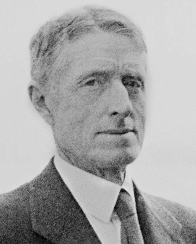
3. Arthur Asahel Shurcliff (1870-1957)
In 1928 he became Chief Landscape Architect for the restoration and recreation of the gardens, landscape, and town planning of Colonial Williamsburg, Virginia. The position, which he held until retiring in 1941, was the largest and most important commission of his career.
Also see . . . Arthur Asahel Shurcliff. Wikipedia entry on the noted landscape architect. (Submitted on July 5, 2024, by Duane and Tracy Marsteller of Murfreesboro, Tennessee.)
Credits. This page was last revised on July 5, 2024. It was originally submitted on July 5, 2024, by Duane and Tracy Marsteller of Murfreesboro, Tennessee. This page has been viewed 222 times since then and 38 times this year. Photos: 1, 2, 3. submitted on July 5, 2024, by Duane and Tracy Marsteller of Murfreesboro, Tennessee.
