Tumwater in Thurston County, Washington — The American West (Northwest)
Oregon Trail
1844
Photographed by Shirley A Stirling, July 8, 2017
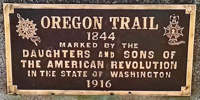
1. Oregon Trail 1844 Marker
Erected 1916 by Daughters of the American Revolution NSDAR and Sons of the American Revolution NSAR.
Topics and series. This historical marker is listed in these topic lists: Roads & Vehicles • Settlements & Settlers. In addition, it is included in the Daughters of the American Revolution (DAR), the Oregon Trail, and the Sons of the American Revolution (SAR) series lists. A significant historical year for this entry is 1844.
Location. 47° 0.931′ N, 122° 54.325′ W. Marker is in Tumwater, Washington, in Thurston County. It is at the intersection of Deschutes Way and Boston St SW, on the left when traveling south on Deschutes Way. The marker is at the corner of Deschutes Way SW and Boston St SW and within sight of the Falls Terrace Restaurant, Tumwater, Thurston County, WA. Touch for map. Marker is at or near this postal address: 106 Deschutes Way SW, Olympia WA 98501, United States of America. Touch for directions.

Regionally, this marker is in the Puget Sound Region and in Greater Seattle. It is also
this page online
Other nearby markers. At least 8 other markers are within walking distance of this marker: Tumwater (approx. 0.2 miles away); A house from the early 20th century (approx. 0.3 miles away); The Port Townsend Southern Railroad (approx. 0.3 miles away); Soldiers' Monument (approx. 0.3 miles away); A House from the Pioneer Era (approx. 0.3 miles away); Crosby House (approx. 0.4 miles away); Historic Tumwater (approx. 0.4 miles away); Ancient Trading Path (approx. 0.4 miles away). Touch for a list and map of all markers in Tumwater.
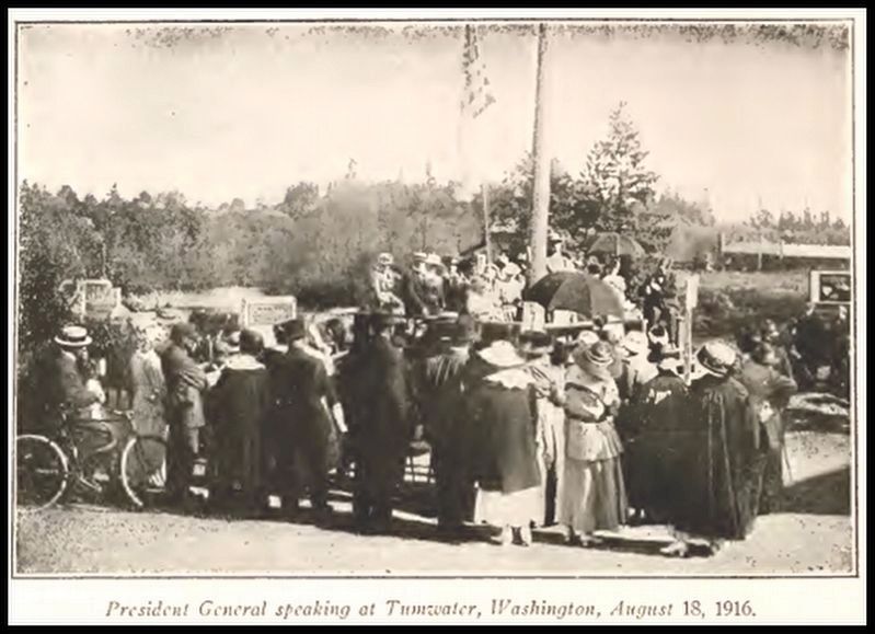
Regarding Oregon Trail. The original unveiling was hosted by the Sacajawea Chapter DAR. Derived from the 1924 History and Register Washington State Society DAR: “On Friday August 18, 1916 this Oregon Trail marker was unveiled in Tumwater at the falls of the Deschutes River on the site of the first house built when the white settlement
Photographed by Shirley A Stirling, July 8, 2017
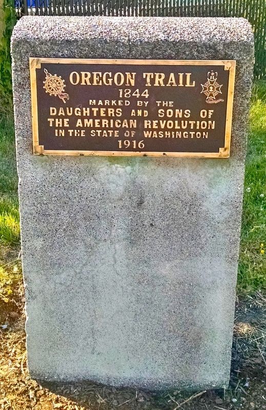
2. 2016 Oregon Trail 1844 Marker in Tumwater, WA restored.
On July 9, 2016, SAR member Mick Hersey, assisted by SAR member Art Dolan, cleaned and preserved the plaque as he gave a demonstration using traditional techniques, including a special brown dye for the plaque background, as used in the era of the original marker.
Reference: WISAARD Property ID #26078; DAR Magazine Nov 1916, Vol XLIX No. 5.
Additional keywords. Oregon Trail
Anonymous - DAR archives, 1916
3. DAR President General speaking at the OT marker dedication at Tumwater Falls, WA
circa 1916
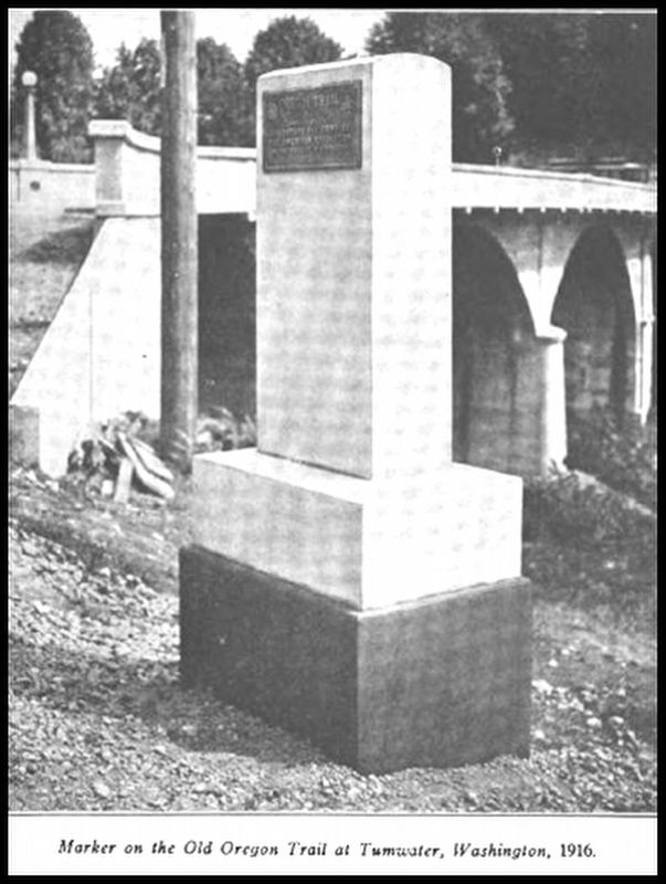
4. OT Marker-Tumwater Falls. Photo shows the original size. Now soil has filled in well over a foot.
July 23, 2016
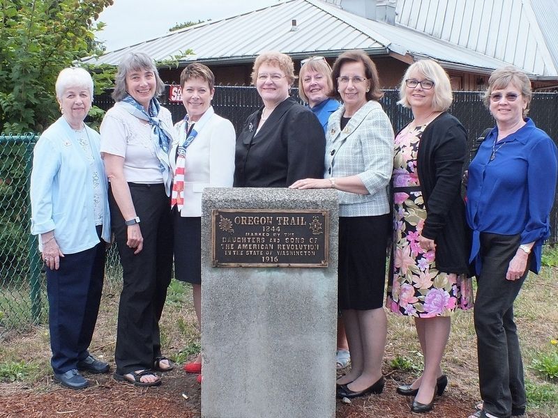
5. Group shot after the 2016 OT marker restoration near Tumwater Falls, WA
Credits. This page was last revised on July 8, 2024. It was originally submitted on July 6, 2024, by Shirley A Stirling of Lacey, Washington. This page has been viewed 466 times since then and 102 times this year. Photos: 1, 2, 3, 4, 5. submitted on July 6, 2024, by Shirley A Stirling of Lacey, Washington. • James Hulse was the editor who published this page.
