Natchitoches in Natchitoches Parish, Louisiana — The American South (West South Central)
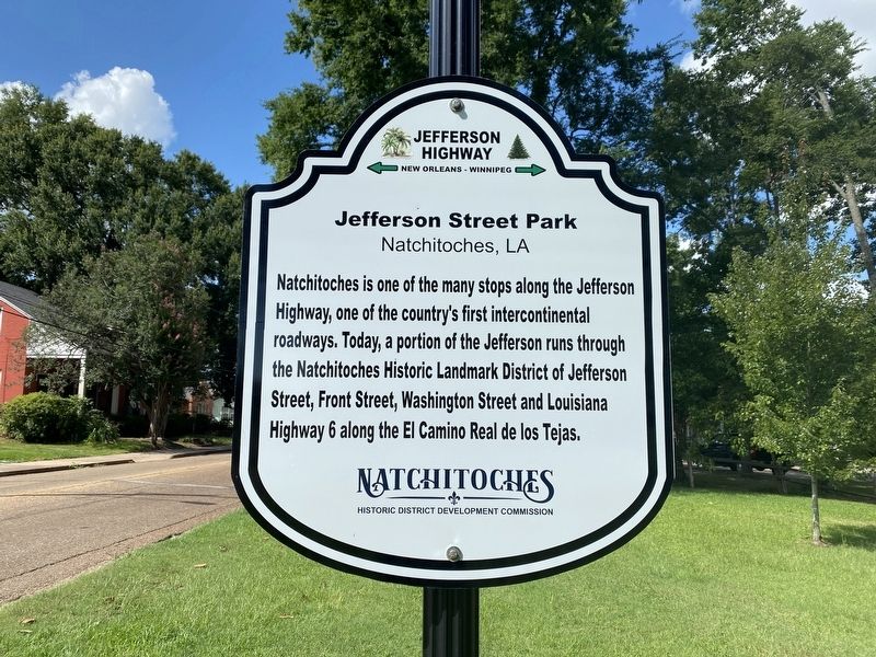
Jefferson Street Park
Natchitoches, LA
| — | Jefferson Highway | — |
Photographed by Cajun Scrambler, July 4, 2024
1. Jefferson Street Park Marker
Natchitoches is one of the many stops along the Jefferson Highway, one of the country's first intercontinental roadways. Today, a portion of the Jefferson runs through the Natchitoches Historic Landmark District of Jefferson Street, Front Street, Washington Street and Louisiana Highway 6 along the El Camino Real de los Tejas.
Erected by Natchitoches Historic District Development Commission.
Topics and series. This historical marker is listed in this topic list: Roads & Vehicles. In addition, it is included in the Jefferson Highway series list.
Location. 31° 45.123′ N, 93° 5.298′ W. Marker is in Natchitoches, Louisiana, in Natchitoches Parish. It is on Jefferson Street north of University Parkway (Louisiana Highway 6), on the right when traveling north. Touch for map. Marker is at or near this postal address: 131 Jefferson St, Natchitoches LA 71457, United States of America. Touch for directions.

Regionally, this marker is in Central Louisiana. It is also in the American South, specifically in the Deep South, and in the Piney Woods. Globally, it is in
this page online
Other nearby markers. At least 8 other markers are within walking distance of this marker: The Jefferson Highway (within shouting distance of this marker); Susan Harling Robinson Park (approx. 0.2 miles away); El Camino Real de los Tejas (approx. 0.2 miles away); Natchitoches and the Early American Period (approx. 0.2 miles away); Dr. John Sibley (approx. 0.2 miles away); Steel Magnolias (approx. 0.2 miles away); Colonel William Houston Jack (approx. 0.2 miles away); The American Cemetery (approx. ¼ mile away). Touch for a list and map of all markers in Natchitoches.
Photographed by Cajun Scrambler, July 4, 2024
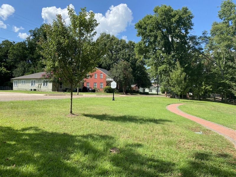
2. Jefferson Street Park Marker
Credits. This page was last revised on July 7, 2024. It was originally submitted on July 7, 2024, by Cajun Scrambler of Assumption, Louisiana. This page has been viewed 224 times since then and 26 times this year. Photos: 1, 2. submitted on July 7, 2024, by Cajun Scrambler of Assumption, Louisiana.
