Waterbury in Naugatuck Valley Region, Connecticut — The American Northeast (New England)
Waterbury
Photographed by Zachary Foti, July 2, 2024
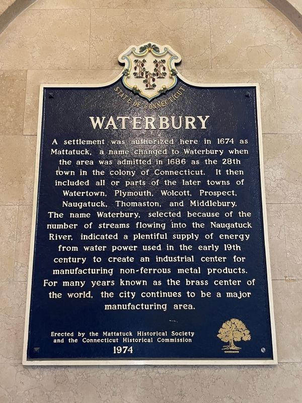
1. Waterbury Marker
A settlement was authorized here in 1674 as Mattatuck, a name changed to Waterbury when the area was admitted in 1686 as the 28th town in the Colony of Connecticut. It then included all or parts of the later towns of Watertown, Plymouth, Wolcott, Prospect, Naugatuck, Thomaston, and Middlebury. The name Waterbury, selected because of the number of streams flowing into the Naugatuck River, indicated a plentiful supply of energy from water power used in the early 19th century to create an industrial center for manufacturing non-ferrous metal products. For many years known as the brass center of the world, the city continues to be a major manufacturing area.
Erected 1974 by The Mattatuck Historical Society and the Connecticut Historical Commission.
Topics. This historical marker is listed in these topic lists: Colonial Era • Settlements & Settlers. A significant historical year for this entry is 1674.
Location. 41° 33.279′ N, 73° 2.6′ W. Marker is in Waterbury in Naugatuck Valley Region, Connecticut. It can be reached from the intersection of Grand Street and Church Street, on the right when traveling south. Touch for map.
this page online

Regionally, this marker is in the Connecticut River Valley, on the Connecticut Shoreline, and in Greater New Haven. It is also in the American Northeast and in New England. Globally, it is in North America, the Western Hemisphere, the Western World, and the Anglosphere. Historically, it finds itself in what was once New Haven County and also one of the original Thirteen Colonies.
Other nearby markers. At least 8 other markers are within walking distance of this marker: Cristoforo Colombo (within shouting distance of this marker); John Prince Elton (within shouting distance of this marker); Enoch Hibbard House (about 400 feet away, measured in a direct line); Fortified House lf Ensign Stanley (about 600 feet away); Waterbury Veteran’s Monument (about 700 feet away); Present Settlement of Waterbury (about 700 feet away); St. James Church (about 800 feet away); The Cemetery on Burying Ground Hill (about 800 feet away). Touch for a list and map of all markers in Waterbury.
More about this marker.
Photographed by Zachary Foti, June 28, 2024
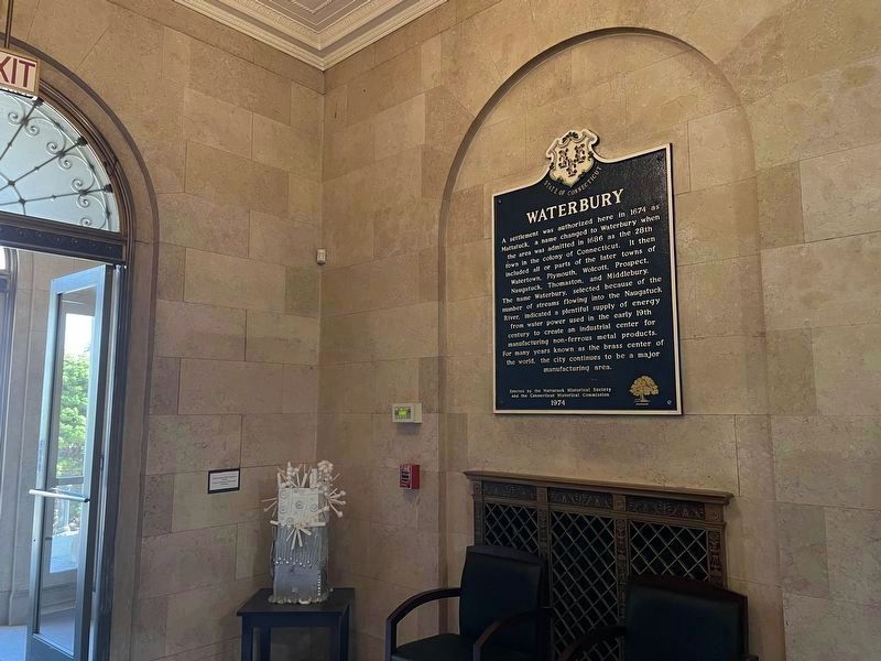
2. Waterbury Marker in the Chase Municipal Building.
Also see . . .
1. Welcome to Waterbury, CT. (Submitted on July 5, 2024, by Michael Herrick of Southbury, Connecticut.)
2. The Mattatuck Historical Society and Mattatuck Museum. (Submitted on July 5, 2024, by Michael Herrick of Southbury, Connecticut.)
3. Waterbury, Connecticut (Wikipedia). (Submitted on July 5, 2024, by Michael Herrick of Southbury, Connecticut.)
Credits. This page was last revised on May 19, 2026. It was originally submitted on July 4, 2024, by Zachary Foti of Southington, Connecticut. This page has been viewed 447 times since then and 33 times this year. Last updated on July 8, 2024, by Zachary Foti of Southington, Connecticut. Photos: 1, 2. submitted on July 4, 2024, by Zachary Foti of Southington, Connecticut. • J. Makali Bruton was the editor who published this page.
