Van Buren in Crawford County, Arkansas — The American South (West South Central)
Dripping Springs and the Federal Raid on Van Buren
Photographed by Ashley Sides, June 13, 2024
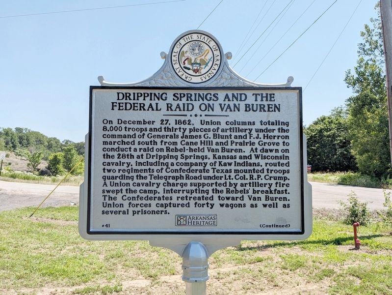
1. Dripping Springs and the Federal Raid on Van Buren Marker
On December 27, 1862, Union columns totaling 8,000 troops and thirty pieces of artillery under the command of Generals James G. Blunt and F.J. Herron marched south from Cane Hill and Prairie Grove to conduct a raid on Rebel-held Van Buren. At dawn on the 28th at Dripping Springs, Kansas and Wisconsin cavalry, including a company of Kaw Indians, routed two regiments of Confederate Texas mounted troops guarding the Telegraph Road under Lt. Col. R.P. Crump. A Union cavalry charge supported by artillery fire swept the camp, interrupting the Rebels’ breakfast. The Confederates retreated toward Van Buren. Union forces captured forty wagons as well as several prisoners.
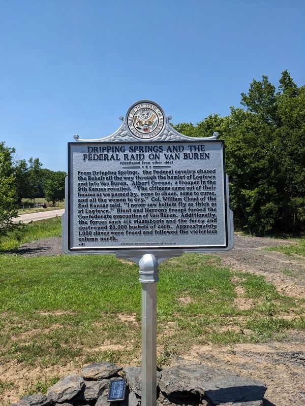
From Dripping Springs, the Federal cavalry chased the Rebels all the way through the hamlet of Logtown and into Van Buren. Albert Greene, a trooper in the 9th Kansas recalled, “The citizens came out of their houses as we passed by, some to cheer, some to curse, and all the women to cry.” Col. William Cloud of the 2nd Kansas said, “I never saw bullets fly as thick as at Logtown.” Blunt and Herron’s troops forced the Confederate evacuation of Van Buren. Additionally,
this page online
Erected 2024 by Arkansas Heritage; Arkansas Historic Preservation Program. (Marker Number 41.)
Topics and series. This historical marker is listed in this topic list: War, US Civil. In addition, it is included in the Arkansas Heritage series list. A significant historical date for this entry is December 28, 1862.
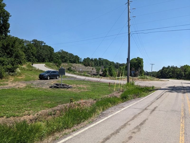
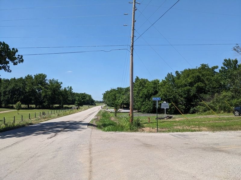
Location. 35° 31.627′ N, 94° 23.194′ W. Marker is in Van Buren, Arkansas, in Crawford County. It is at the intersection of Dripping Springs Road and Beverly Hills Drive, on the right when traveling north on Dripping Springs Road. Touch for map. Marker is at or near this postal address: 6138 Dripping Springs Rd, Van Buren AR 72956, United States of America. Touch for directions.

Regionally, this marker is in the Arkansas River Valley, in the Cherokee Heritage Region, and in Osage Territory. It is also in the American South, specifically in the Upper South, and in the Ozarks. Globally, it is in North America, the Western Hemisphere, the Western World, and the Anglosphere.
Photographed by Ashley Sides, June 13, 2024
2. Side 2
Other nearby markers. At least 8 other markers are within 7 miles of this marker, measured as the crow flies: Log Town Hill (approx. 6.1 miles away); Fairview Cemetery (approx. 6.3 miles away); Fairview Cemetery Confederate Memorial (approx. 6.3 miles away); CSI: Van Buren (approx. 6½ miles away); Gone but not forgotten (approx. 6½ miles away); Overlooking His Domain (approx. 6½ miles away); Web of Enterprise (approx. 6½ miles away); Van Buren Raid (approx. 6½ miles away). Touch for a list and map of all markers in Van Buren.
Photographed by Ashley Sides, June 13, 2024
3. Marker as seen from Dripping Springs Road heading south
Photographed by Ashley Sides, June 13, 2024
4. Marker as seen from Dripping Springs Road and Beverly Hills Drive looking north
Credits. This page was last revised on July 19, 2024. It was originally submitted on July 9, 2024, by Ashley Sides of Little Rock, Arkansas. This page has been viewed 559 times since then and 96 times this year. Photos: 1, 2, 3, 4. submitted on July 9, 2024, by Ashley Sides of Little Rock, Arkansas. • Bernard Fisher was the editor who published this page.
