Port Aransas in Nueces County, Texas — The American South (West South Central)
Oil Storage Facility
German Target
Photographed by Adam Margolis, April 7, 2024
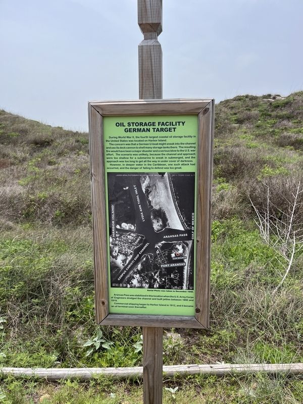
1. Oil Storage Facility German Target Marker
The concern was that a German U-boat might sneak into the channel and use its deck cannon to shell many storage tanks there. The resulting fire would have been a major disaster and a serious blow to the U.S. war effort. The scenario was unlikley, because the channel and approach were too shallow for a submarine to sneak in submerged, and the approach was too long to get all the way in under the cover of darkness.
However, in deeper water in the Caribbean, one such attack had occurred, and the danger of failing to defend was too great.
Arnasas Pass was stabilized in this location when the U.S. Army Corps of Engineers dredged the channel and built jetties between 1890 and 1919.
Commercial shipping began to Harbor Island in 1912, and it became an oil terminal soon thereafter.
Caption
Aerial Photo was taken December 1948.
Topics. This historical marker is listed in these topic lists: War, World II • Waterways & Vessels. A significant historical year for this entry is 1890.
Location. 27° 50.099′ N, 97° 3.195′ W.
this page online

Regionally, this marker is in the American South and on the Gulf Coast. Globally, it is in North America, a Gulf of Mexico state, the Western Hemisphere, the Western World, and the Anglosphere. Historically, it finds itself in what was once New Spain, the Republic of Texas, and one of the Confederate States of America.
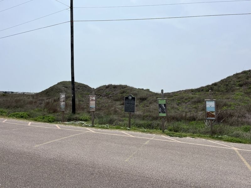
Other nearby markers. At least 8 other markers are within walking distance of this marker: 155 MM Cannon* (here, next to this marker); World War II Coastal Defenses at the Aransas Pass (here, next to this marker); Sub Seen off Port Aransas (here, next to this marker); Gun Locations (here, next to this marker); Tarpon Inn (approx. half a mile away); Mustang Island (approx. half a mile away); The Mercer Family on Mustang Island (approx. half a mile away); U.S. Coast Guard on Mustang Island (approx. 0.7 miles away). Touch for a list and map
Photographed by Adam Margolis, April 7, 2024
2. Oil Storage Facility Marker
Credits. This page was last revised on July 10, 2024. It was originally submitted on July 9, 2024, by Adam Margolis of Mission Viejo, California. This page has been viewed 188 times since then and 22 times this year. Photos: 1, 2. submitted on July 9, 2024, by Adam Margolis of Mission Viejo, California. • James Hulse was the editor who published this page.
