Near San Antonio in Socorro County, New Mexico — The American Mountains (Southwest)
Guarding the Trail

Photographed by James Hulse, June 24, 2024
1. Guarding the Trail Marker
In 1854, the US built Fort Craig to protect this area. It became known as the starting point for campaigns against the Apaches, Navajos, and Comanches. The garrison battled raiding parties in the Jornada del Muerto, and rescued stolen livestock. The settlements of San Marcial to the north and Paraje to the south flourished as trade centers under the fort's protection.
Captions
Officers, 50th Pennsylvania Infantry, Fort Craig, July 1865. Col. William H. Telford Civil War photographs, 1861-1865, Library of Congress, Prints and Photographs Division
United States Military Installations - 1855
Erected by National Conservation Lands, El Camino Real de Tierra Adentro National Historic Trail and Fort Craig Historic Site.
Topics. This historical
this page online
Location. 33° 39.848′ N, 107° 4.772′ W. Marker is near San Antonio, New Mexico, in Socorro County. It is on Fort Craig Road 0.3 miles east of Old US Hwy 25, on the right when traveling east. The marker is located along the road on the way to Fort Craig. Touch for map. Marker is at or near this postal address: 12 Fort Craig Road, San Antonio NM 87832, United States of America. Touch for directions.

Regionally, this marker is in Southwest New Mexico and in the Rio Grande Valley. It is also in the American Southwest. Globally, it is in North America, the Western Hemisphere, the Western World, and the Anglosphere. Historically, it finds itself in what was once New Spain and also the Republic of Texas.
Other nearby markers. At least 8 other markers are within 5 miles of this marker, measured as the crow flies: Journey of the Dead Man (here, next to this marker); Time & Perspective (here, next to this marker); The Royal Road (a few steps from this

Photographed by James Hulse, June 24, 2024
2. The Guarding the Trail Marker is the left marker of the two markers
Photographed by James Hulse, June 24, 2024
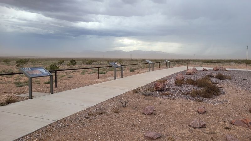
3. The Guarding the Trail Marker is the second marker from the right side
Credits. This page was last revised on July 12, 2024. It was originally submitted on July 10, 2024, by James Hulse of Medina, Texas. This page has been viewed 208 times since then and 15 times this year. Photos: 1, 2, 3. submitted on July 12, 2024, by James Hulse of Medina, Texas.
