Puyallup in Pierce County, Washington — The American West (Northwest)
Puyallup River Crossing
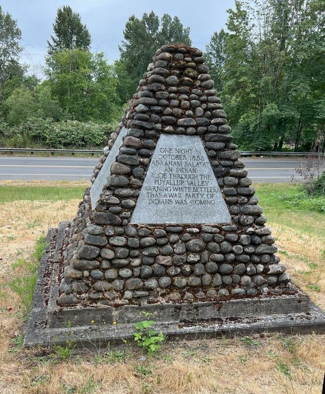
Photographed by Michael Dryfoos
1. Puyallup River Crossing Marker
[North Side] "One night in Octber 1855, Abraham Salatat, an Indian, rode through the Puyallup Valley warning white settlers that a war party of Indians was coming."
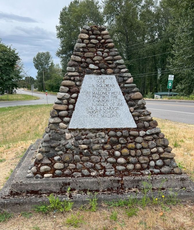
[East Side] "In February 1856, U.S. soldiers erected Fort Maloney here to protect the John Carson ferry. The summer of 1861 Mrs. E.L. Carson taught school at Fort Maloney"
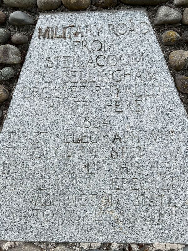
[South Side] "Military Road from Steilacoom to Bellingham crossing Puyallup River here 1864. First telegraph wire through the state WA strung over this road.
Erected 1926 by Washington State Historical Society.
Topics. This historical marker is listed in these topic lists: Bridges & Viaducts • Communications • Forts and Castles • Wars, US Indian.
Location. 47° 12.217′ N, 122° 17.684′ W. Marker is in Puyallup, Washington, in Pierce County. It is at the intersection of N. Levee Road and N. Meridian Avenue, on the left when traveling west on N. Levee Road. Touch for map.
this page online

Regionally, this marker is in the Puget Sound Region and in Greater Seattle. It is also on the American Pacific Coast, in the Pacific Northwest, and in the Lewis & Clark Corridor. Globally, it is in North America, in the Cascade Range, in the Inside Passage, on the Ring of Fire, on the Pacific Rim, in the Western Hemisphere, in the Western World, and in the Anglosphere.
Other nearby markers. At least 8 other markers are within 8 miles of this marker, measured as the crow flies: Old Oregon Trail (approx. 0.9 miles away); McMillin Bridge (approx. 5.8 miles away); South Hill Heritage Corridor (approx. 6½ miles away); Then and Now: South End of the Thea Foss Waterway (approx. 7.2 miles away); Dedicated to You, a Free Citizen in a Free Land (approx. 7.2 miles away); Commemorating Nihongo Gakko 日本語学校 (approx. 7.3 miles away); Welcome Figure (approx. 7.4 miles away); Crow with Fries (approx. 7.4 miles away). Touch for a list and map of all markers in Puyallup.
More about this marker.
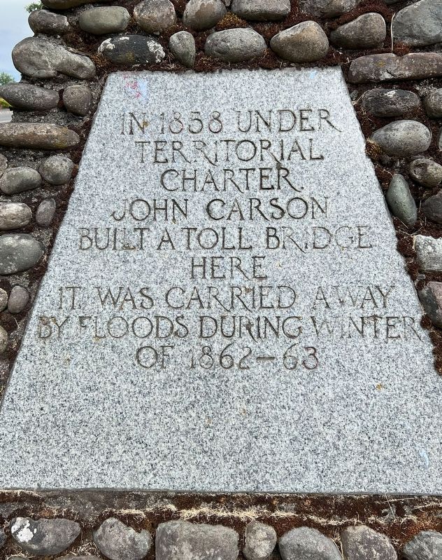
Photographed by Michael Dryfoos
2. Puyallup River Crossing Marker - West Side Plaque
Regarding Puyallup River Crossing. This monument concerns itself with this important crossing point over the Puyallup River, and important milestones related to this location from the time of white settlement in the area.
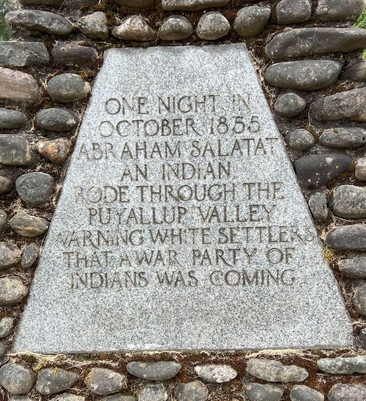
Photographed by Michael Dryfoos
3. Puyallup River Crossing Marker - North Side Plaque
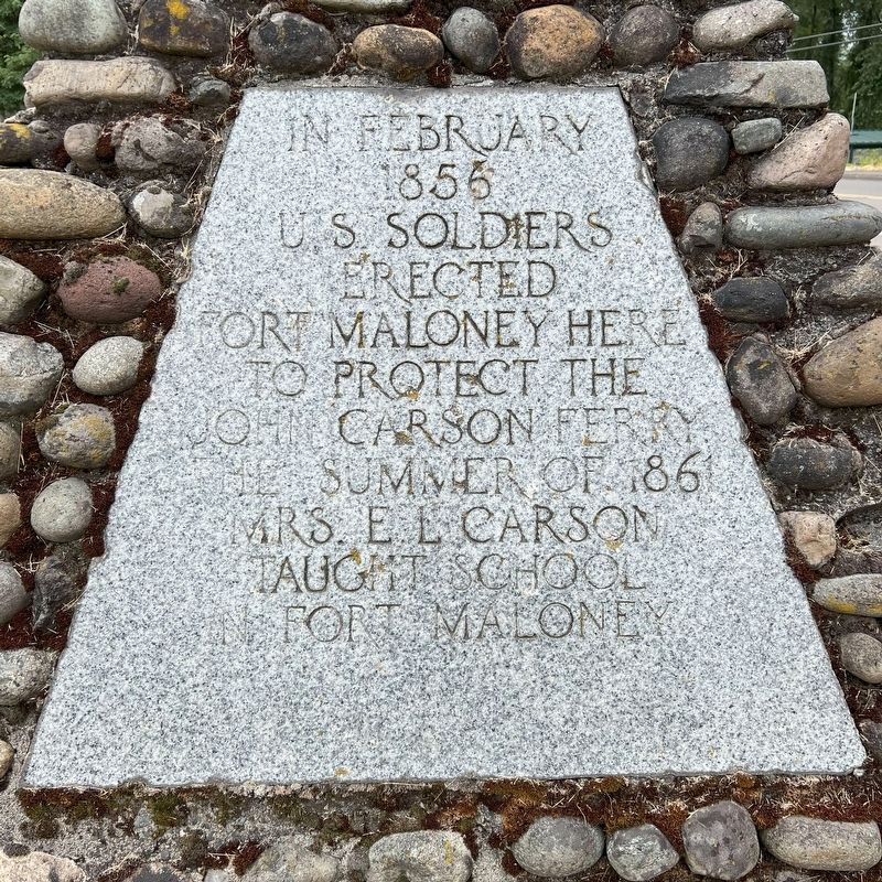
Photographed by Michael Dryfoos
4. Puyallup River Crossing Marker - East Side Plaque
Photographed by Michael Dryfoos
5. Puyallup River Crossing Marker - South Side Plaque
Photographed by Michael Dryfoos
6. Puyallup River Crossing Marker - View from east
Credits. This page was last revised on July 26, 2024. It was originally submitted on July 11, 2024, by Michael Dryfoos of Edgewood, Washington. This page has been viewed 690 times since then and 107 times this year. Photos: 1, 2, 3, 4, 5, 6. submitted on July 11, 2024, by Michael Dryfoos of Edgewood, Washington. • Bill Pfingsten was the editor who published this page.
