Natchez in Natchitoches Parish, Louisiana — The American South (West South Central)
Plantation to Park
Photographed by Cajun Scrambler, July 5, 2024
1. Plantation to Park Marker
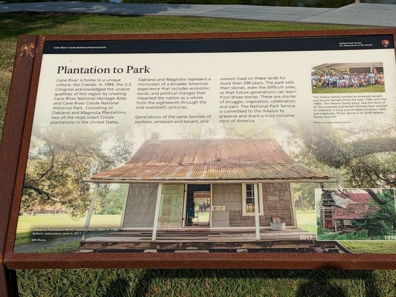
Cane River is home to a unique culture, the Creoles. In 1994, the U.S. Congress acknowledged the unique qualities of this region by creating Cane River National Heritage Area and Cane River Creole National Historical Park. Consisting of Oakland and Magnolia Plantations, two of the most intact Creole plantations in the United States, Oakland and Magnolia represent a microcosm of a broader American experience that includes economic, social, and political changes that impacted the nation as a whole from the eighteenth through the mid-twentieth centuries.
Generations of the same families of workers, enslaved and tenant, and owners lived on these lands for more than 200 years. The park tells their stories, even the difficult ones. so that future generations can learn from those stories. These are stories of struggle, inspiration, celebration, and pain. The National Park Service is committed to the mission to preserve and share a truly inclusive. story of America.
Photo Caption
The Helaire family worked as enslaved people and tenant farmers from the late 1700s until the 1960s The Helaire family story, like the story of all the enslaved and tenant families that worked on Oakland, is truly one of determination, faith and ingenuity. Photo above is of 2018 Helaire family reunion.
Erected by National
this page online
Topics. This historical marker is listed in these topic lists: Parks & Recreational Areas • Settlements & Settlers.
Location. 31° 39.772′ N, 93° 0.059′ W. Marker is in Natchez, Louisiana, in Natchitoches Parish. It is on Louisiana 119. Touch for map. Marker is at or near this postal address: 1401 LA-119, Natchez LA 71456, United States of America. Touch for directions.

Regionally, this marker is in Central Louisiana. It is also in the American South, specifically in the Deep South, and in the Piney Woods. Globally, it is in North America, a Gulf of Mexico state, the Western Hemisphere, the Western World, and the Anglosphere. Historically, it finds itself in what was once New Spain, the Viceroyalty of New France, the territory of the Mississippian Culture, the Louisiana Purchase, one of the Confederate States of America, and the Antebellum South.
Other nearby markers. At least 8 other markers are within walking distance of this marker: Plantation to Recreation (here, next to
Photographed by Cajun Scrambler, July 5, 2024
2. Plantation to Park Marker
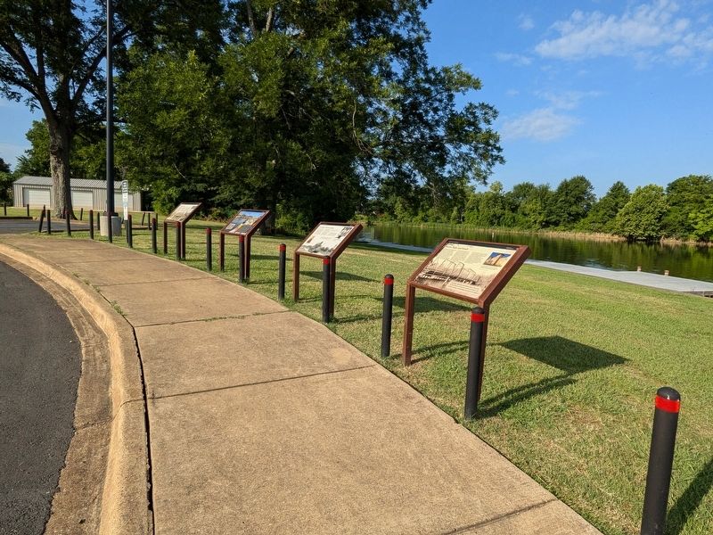
More about this marker. Located at the Shell Beach Boat Ramp
Credits. This page was last revised on July 12, 2024. It was originally submitted on July 12, 2024, by Cajun Scrambler of Assumption, Louisiana. This page has been viewed 149 times since then and 21 times this year. Photos: 1, 2. submitted on July 12, 2024, by Cajun Scrambler of Assumption, Louisiana.
