Natchez in Natchitoches Parish, Louisiana — The American South (West South Central)
Plantation to Recreation
Photographed by Cajun Scrambler, July 5, 2024
1. Plantation to Recreation Marker
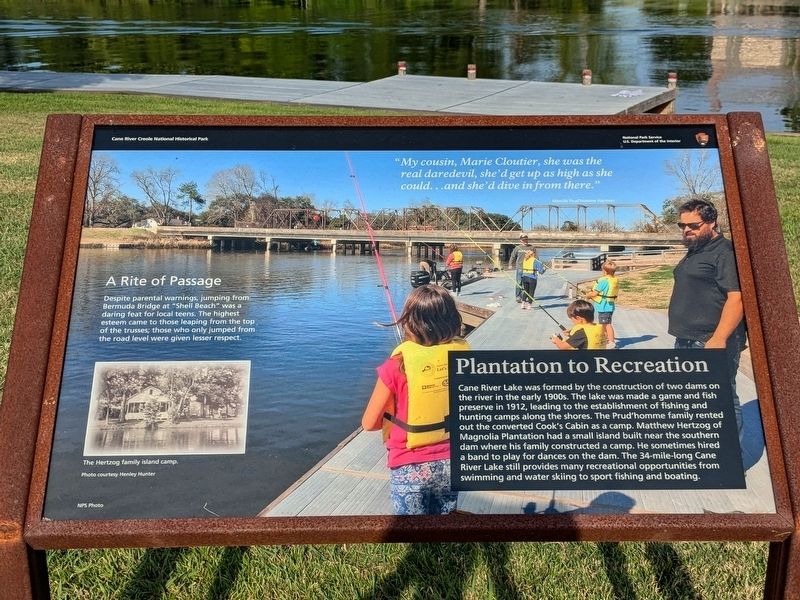
Cane River Lake was formed by the construction of two dams on the river in the early 1900s. The lake was made a game and fish preserve in 1912, leading to the establishment of fishing and hunting camps along the shores. The Prud'homme family rented out the converted Cook's Cabin as a camp. Matthew Hertzog of Magnolia Plantation had a small island built near the southern dam where his family constructed a camp. He sometimes hired a band to play for dances on the dam. The 34-mile-long Cane River Lake still provides many recreational opportunities from swimming and water skiing to sport fishing and boating.
Photo Captions
A Rite of Passage
Despite parental warnings, jumping from: Bermuda Bridge at "Shell Beach" was a daring feat for local teens. The highest esteem came to those leaping from the top of the trusses; those who only jumped from the road level were given lesser respect.
"My cousin, Marie Cloutier, she was the real daredevil, she'd get up as high as she could...and she'd dive in from there."
Erected by National Park Service, Department of the Interior, Cane River Creole National Historical Park.
this page online
Topics. This historical marker is listed in these topic lists: Parks & Recreational Areas • Settlements & Settlers.
Location. 31° 39.774′ N, 93° 0.059′ W. Marker is in Natchez, Louisiana, in Natchitoches Parish. It is on Louisiana 119. Touch for map. Marker is at or near this postal address: 1401 LA-119, Natchez LA 71456, United States of America. Touch for directions.

Regionally, this marker is in Central Louisiana. It is also in the American South, specifically in the Deep South, and in the Piney Woods. Globally, it is in North America, a Gulf of Mexico state, the Western Hemisphere, the Western World, and the Anglosphere. Historically, it finds itself in what was once New Spain, the Viceroyalty of New France, the territory of the Mississippian Culture, the Louisiana Purchase, one of the Confederate States of America, and the Antebellum South.
Other nearby markers. At least 8 other markers are within walking distance of this marker: Plantation to Park (here, next to this marker); Rivers, Rails and Roads (here, next to this marker); The Battle of Bermuda Bridge
Photographed by Cajun Scrambler, July 5, 2024
2. Plantation to Recreation Marker
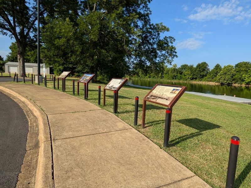
More about this marker. Located at the Shell Beach Boat Ramp
Credits. This page was last revised on July 12, 2024. It was originally submitted on July 12, 2024, by Cajun Scrambler of Assumption, Louisiana. This page has been viewed 156 times since then and 16 times this year. Photos: 1, 2. submitted on July 12, 2024, by Cajun Scrambler of Assumption, Louisiana.
