McLean Township in Fort Loramie in Shelby County, Ohio — The American Midwest (Great Lakes)
Buckeye Trail History
Photographed by Craig Doda, June 29, 2024
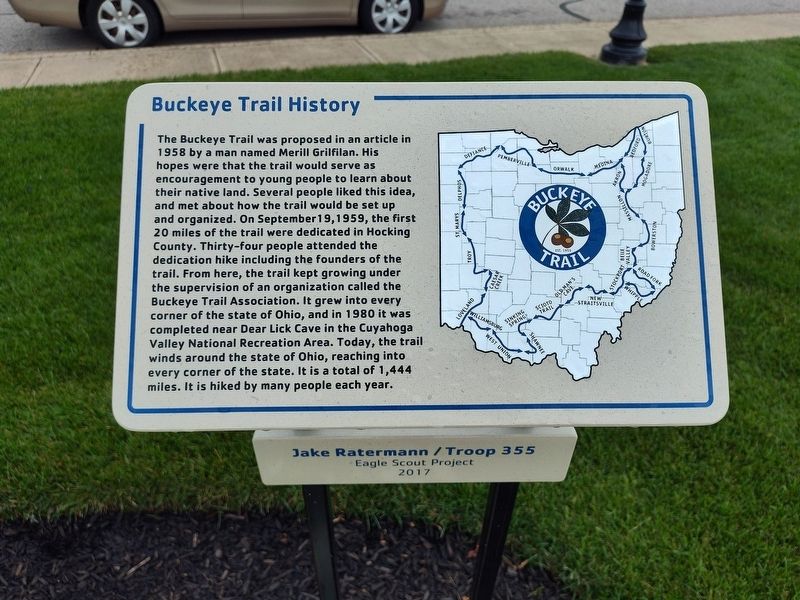
1. Buckeye Trail History Marker
Buckeye Trail was proposed in an article in 1958 by a man named Merill Grilfilan. His hopes were that the trail would serve as encouragement to young people to learn about their native land. Several people liked this idea, and met about how the trail would be set up and organized. On September 19, 1959, the first 20 miles of the trail were dedicated in Hocking County. Thirty-four people attended the dedication hike including the founders of the trail. From here, the trail kept growing under the supervision of an organization called the Buckeye Trail Association. It grew into every corner of the state of Ohio, and in 1980 it was completed near Dear Lick Cave in the Cuyahoga Valley National Recreation Area. Today, the trail winds around the state of Ohio, reaching into every corner of the state. It is a total of 1,444 miles. It is hiked by many people each year.
Erected 2017 by Jake Ratermann / Troop 355 Eagle Scout Project.
Topics. This historical marker is listed in this topic list: Parks & Recreational Areas. A significant historical date for this entry is September 19, 1959.
Location. 40° 21.059′ N, 84° 22.503′ W. Marker is in Fort
this page online

Regionally, this marker is in Ohio’s Till Plains. It is also in the American Midwest and in the Corn Belt. Globally, it is in North America, the Western Hemisphere, the Western World, and the Anglosphere. Historically, it finds itself in what was once the Haudenosaunee (Iroquois) Confederacy, the territory of the Mississippian Culture, and the Northwest Territory.
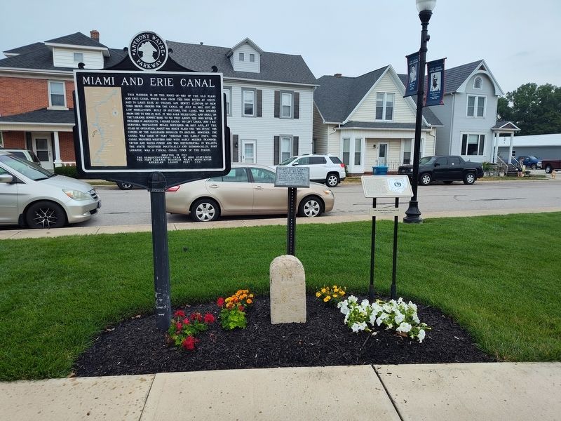
Other nearby markers. At least 8 other markers are within walking distance of this marker: On September 26, 1748 (here, next to this marker); Greene Ville Treaty Line / Miami and Erie Canal (here, next to this marker); The Frenchman’s Store (a few steps from this marker); Miami Erie Canal Mile Stone (a few steps from this marker); Fort Loramie Veterans Monument (a few steps from this marker); After the Destruction of his Trading Post (a few
Photographed by Craig Doda, June 29, 2024
2. Buckeye Trail History Marker
Credits. This page was last revised on July 12, 2024. It was originally submitted on July 12, 2024, by Craig Doda of Napoleon, Ohio. This page has been viewed 177 times since then and 33 times this year. Photos: 1, 2. submitted on July 12, 2024, by Craig Doda of Napoleon, Ohio. • J. Makali Bruton was the editor who published this page.
