Lebanon in Warren County, Ohio — The American Midwest (Great Lakes)
The Town Plat
⎯⎯⎯
The Tharp House
Photographed by William Fischer, Jr., August 3, 2009
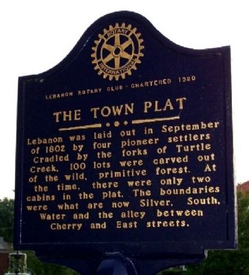
1. The Town Plat Marker (Side A)
Side A: The Town Plat
Lebanon was laid out in September of 1802 by four pioneer settler. Cradled by the forks of Turtle Creek, 100 lots were carved out of the wild, primitive forest. At the time, there were only two cabins in the plat. The boundaries were what are now Silver, South, Water and the alley between Cherry and East streets.
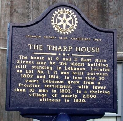
Side B: The Tharp House
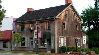
The house at 9 and 11 East Main Street may be the oldest building still standing in Lebanon. Located on Lot. No. 1, it was built between 1807 and 1814. In less than 20 years Lebanon grew from a frontier settlement, with fewer than 10 men in 1803, to a thriving village of nearly 2,000 citizens in 1820.
Erected by Lebanon Rotary Club.
Topics and series. This historical marker is listed in these topic lists: Exploration • Man-Made Features • Notable Buildings • Settlements & Settlers. In addition, it is included in the Rotary International series list. A significant historical month for this entry is September 1802.
Location. 39° 25.992′ N, 84° 12.479′ W. Marker is in Lebanon, Ohio, in Warren County. It is at the intersection of Main Street (Ohio Route 123) and
this page online

Regionally, this marker is in Greater Cincinnati and in the Miami Valley. It is also in the American Midwest and in the Corn Belt. Globally, it is in North America, the Western Hemisphere, the Western World, and the Anglosphere. Historically, it finds itself in what was once the Haudenosaunee (Iroquois) Confederacy, the territory of the Mississippian Culture, and the Northwest Territory.
Other nearby markers. At least 8 other markers are within walking distance of this marker: The Harner Sisters (a few steps from this marker); William E. Harmon (a few steps from this marker); The Golden Lamb (a few steps from this marker); Two Hollywood Movies (a few steps from this marker); The National Normal University (a few steps from this marker); Christmas Tree Park (a few steps from this marker); Tom Corwin (a few steps from this marker); Icabod Corwin (a few steps from this marker). Touch for a list and map of
Photographed by William Fischer, Jr., August 3, 2009
2. The Tharp House Marker (Side B)
Also see . . . Lebanon, Ohio. Wikipedia entry (Submitted on November 6, 2024, by Larry Gertner of New York, New York.)
Photographed by William Fischer, Jr., August 3, 2009
3. The Town Plat / The Tharp House Marker
View of Tharp House.
Photographed by Craig Doda, June 2, 2022
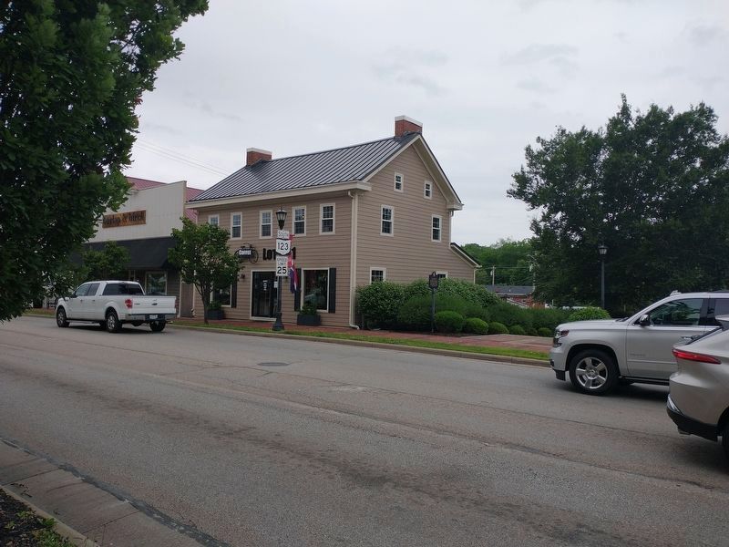
4. The Town Plat / The Tharp House Marker
Credits. This page was last revised on November 6, 2024. It was originally submitted on December 4, 2009, by William Fischer, Jr. of Reynoldsburg, Ohio. This page has been viewed 2,010 times since then and 83 times this year. Photos: 1, 2, 3. submitted on December 4, 2009, by William Fischer, Jr. of Reynoldsburg, Ohio. 4. submitted on June 5, 2022, by Craig Doda of Napoleon, Ohio.
