Helena in Lewis and Clark County, Montana — The American West (Mountains)
Silver City Cemetery
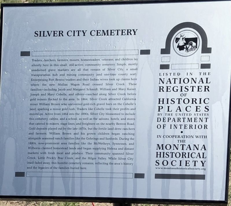
Photographed by Jake, June 25, 2022
1. Silver City Cemetery Marker, Side One
Erected 2022 by Four Georgians Chapter #4681, E Clampus Vitus; Montana Historical Society.
Topics and series. This historical marker is listed in these topic lists: Cemeteries & Burial Sites • Settlements & Settlers. In addition, it is included in the E Clampus Vitus, and the Montana National Register Sign Program series lists.
Location. 46° 44.137′ N, 112° 10.891′ W. Marker is in Helena, Montana, in Lewis and Clark County. It is on Franks-Ongoy
this page online

Regionally, this marker is in andspecifically entral Montana in Gold West Country. It is also in the American Mountain West and in the Lewis & Clark Corridor. Globally, it is in North America, the Rocky Mountains, the Western Hemisphere, the Western World, and the Anglosphere. Historically, it finds itself in what was once Rupert’s Land and also the Louisiana Purchase.
Other nearby markers. At least 8 other markers are within 10 miles of this marker, measured as the crow flies: A Booming Little Place (approx. 5.7 miles away); Marysville, Montana (approx. 5.7 miles away); Marysville School House (approx. 5.7 miles away); Marysville General Store (approx. 5.7 miles away); The Marysville House (approx. 5.7 miles away); Methodist Episcopal Church of Marysville (approx. 5.7 miles away); Marysville Shaffer House (approx. 5.7 miles away); Silver Creek School (approx. 9.7 miles away).
Also see . . . Silver City Cemetery (Historic Montana).
Excerpt: Traders, ranchers,(Submitted on July 13, 2024.)farmers, miners, homesteaders, veterans, and children lay silently here in this small, still-active, community cemetery. Simple, mostly unadorned grave markers are all that remain of Silver City, a small transportation hub and mining community (and one-time county seat)…Photographed by Jake, June 25, 20222. Silver City Cemetery Marker, Side Two
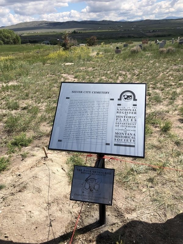
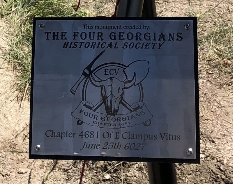
Photographed by Jake, June 25, 2022
3. Silver City Cemetery Marker
Credits. This page was last revised on December 27, 2024. It was originally submitted on July 12, 2024, by Jake of Missoula, Montana. This page has been viewed 331 times since then and 39 times this year. Photos: 1, 2, 3. submitted on July 12, 2024, by Jake of Missoula, Montana. • Andrew Ruppenstein was the editor who published this page.
