Helena in Lewis and Clark County, Montana — The American West (Mountains)
The Discovery at Last Chance Gulch
Photographed by Barry Swackhamer, July 15, 2021
1. The Discovery at Last Chance Gulch Marker
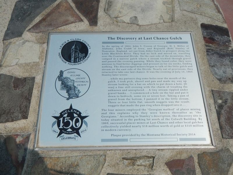
In the spring of 1864, John S. Cowan of Georgia, D.J. Miller of Alabama, John Crabb of Iowa, and Reginald (Bob) Stanley of Nuneaton, England, set out from Alder Creek to prospect along the Little Blackfoot River. They had no luck and moved on, traveling over the Continental Divide. On the east side of the mountains, they camped in a narrow gulch where a stream tricked through gravel and passed the evening panning. While there found color, they were anxious to find better diggings and pressed on for six weeks, finding nothing. The discouraged miners began to talk of the little gulch and stream on the east side of the Divide. Nearly out of provisions, they returned to take one last chance. It was the evening of July 14, 1864. Stanley later wrote:
… while my partners dug some holes near the mouth of the gulch, I took pick, shovel and pan and made my way up stream looking for a bar on which to put down a hole. (It was) a fine still evening with the charm of treading the unknown and unexplored.... A tiny stream rippled under the banks.... I commenced a hole on the bar and put it down to bedrock, some six or seven feet. Taking a pan of gravel from the bottom, I panned it in the little stream. Three or four little flat, smooth nuggets was the result; nuggets that made the pan ring when dropped into it....
Click or scan to see
this page online
The four miners employed the "Georgian method" of placer mining and this explains why they were known thereafter as "the Georgians." According to Stanley's description, the discovery site is today situated in the parking lot south of the Colwell Building. By 1869, successful placer mines at Last Chance and other local gulches collectively yielded nearly $18 million with of gold or $310 million in modern currency.
Erected 2014 by Four Georgians Chapter #4681, E Clampus Vitus.
Topics and series. This historical marker is listed in these topic lists: Exploration • Fraternal or Sororal Organizations • Notable Events • Settlements & Settlers. In addition, it is included in the E Clampus Vitus series list. A significant historical date for this entry is July 14, 1864.
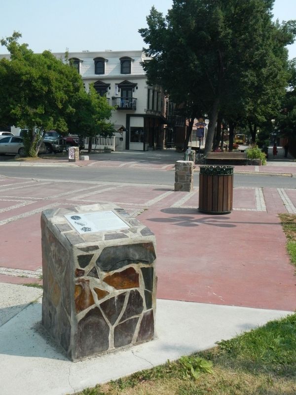
Location. 46° 35.123′ N, 112° 2.461′ W. Marker is in Helena, Montana, in Lewis and Clark County. It is on South Last Chance Gulch near East Broadway Street, on the right when traveling north. The marker stands in Archer Park. Touch for map. Marker is at or near this postal address: 120 South Last Chance Gulch, Helena MT 59601, United States of America. Touch for directions.

Regionally,
Photographed by Barry Swackhamer, July 15, 2021
2. The Discovery at Last Chance Gulch Marker
Other nearby markers. At least 8 other markers are within walking distance of this marker: Uncle Sam's Block (within shouting distance of this marker); U.S.S. Helena (within shouting distance of this marker); California Wine House (within shouting distance of this marker); Earthquakes of 1935 (about 300 feet away, measured in a direct line); Broadwater Resort (about 300 feet away); Boston Block (about 300 feet away); Dunphy Block (about 400 feet away); Bluestone House (about 400 feet away). Touch for a list and map of all markers in Helena.
Additional keywords. E Clampus Vitus
Credits. This page was last revised on July 22, 2024. It was originally submitted on December 4, 2021, by Barry Swackhamer of Brentwood, California. This page has been viewed 518 times since then and 77 times this year. Last updated on July 12, 2024, by Jake of Missoula, Montana. Photos: 1, 2. submitted on December 4, 2021, by Barry Swackhamer of Brentwood, California. • Devry Becker Jones was the editor who published this page.
